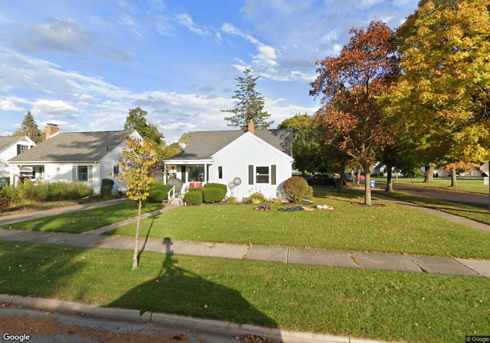
2221 Quentin Ave Lansing, MI 48910
Colonial Village NeighborhoodEstimated Value: $159,484 - $178,000
--
Bed
--
Bath
1,032
Sq Ft
$165/Sq Ft
Est. Value
About This Home
This home is located at 2221 Quentin Ave, Lansing, MI 48910 and is currently estimated at $169,871, approximately $164 per square foot. 2221 Quentin Ave is a home located in Ingham County with nearby schools including Averill Elementary School, Attwood School, and J.W. Sexton High School.
Ownership History
Date
Name
Owned For
Owner Type
Purchase Details
Closed on
Jun 30, 2017
Sold by
Bedard Donald J and Bedard Rosemay
Bought by
Bedard Jerid James and Bedard Ambera Davided K
Current Estimated Value
Purchase Details
Closed on
Nov 11, 2009
Sold by
The Hillis Reesor Veterans Retained Trus
Bought by
Bedard Donald J and Bedard Rosemary
Purchase Details
Closed on
Dec 21, 2007
Sold by
Reesor Hillis
Bought by
The Hillis Reesor Veterans Retained Inte
Create a Home Valuation Report for This Property
The Home Valuation Report is an in-depth analysis detailing your home's value as well as a comparison with similar homes in the area
Home Values in the Area
Average Home Value in this Area
Purchase History
| Date | Buyer | Sale Price | Title Company |
|---|---|---|---|
| Bedard Jerid James | -- | None Available | |
| Bedard Donald J | $77,700 | Midstate Title | |
| The Hillis Reesor Veterans Retained Inte | -- | None Available |
Source: Public Records
Tax History Compared to Growth
Tax History
| Year | Tax Paid | Tax Assessment Tax Assessment Total Assessment is a certain percentage of the fair market value that is determined by local assessors to be the total taxable value of land and additions on the property. | Land | Improvement |
|---|---|---|---|---|
| 2025 | $3,721 | $75,600 | $10,800 | $64,800 |
| 2024 | $30 | $69,800 | $10,800 | $59,000 |
| 2023 | $3,488 | $64,800 | $10,800 | $54,000 |
| 2022 | $3,142 | $62,300 | $10,300 | $52,000 |
| 2021 | $3,077 | $57,900 | $7,000 | $50,900 |
| 2020 | $3,058 | $54,400 | $7,000 | $47,400 |
| 2019 | $2,933 | $52,300 | $7,000 | $45,300 |
| 2018 | $2,747 | $46,400 | $7,000 | $39,400 |
| 2017 | $2,991 | $46,400 | $7,000 | $39,400 |
| 2016 | $2,872 | $41,700 | $7,000 | $34,700 |
| 2015 | $2,872 | $40,300 | $14,067 | $26,233 |
| 2014 | $2,872 | $39,000 | $10,550 | $28,450 |
Source: Public Records
Map
Nearby Homes
- 1420 Poxson Ave
- 2118 Marion Ave
- 1404 Kelsey Ave
- 1618 Loraine Ave
- 1312 W Mount Hope Ave
- 1315 Goodrich St
- 1120 Kelsey Ave
- 1032 Kelsey Ave
- 2515 S Martin Luther King Junior Blvd
- 1114 Goodrich St
- 1740 Wellington Rd Unit 103
- 1607 Holly Way
- 2112 Stirling Ave
- 2310 Stirling Ave
- 1116 George St
- 2421 Stirling Ave
- 1913 Stirling Ave
- 907 Lenore Ave
- 815 Woodbine Ave
- 2039 Holly Way
- 2215 Quentin Ave
- 2211 Quentin Ave
- 1500 Gordon Ave
- 2212 Pattengill Ave
- 2207 Quentin Ave
- 2218 Quentin Ave
- 2208 Pattengill Ave
- 2204 Pattengill Ave
- 2201 Quentin Ave
- 1606 Gordon Ave
- 2200 Quentin Ave
- 2200 Pattengill Ave
- 2135 Quentin Ave
- 1610 Gordon Ave
- 1607 Cooper Ave
- 2215 Pattengill Ave
- 2120 Pattengill Ave
- 2131 Quentin Ave
- 1611 Cooper Ave
- 1427 Gordon Ave