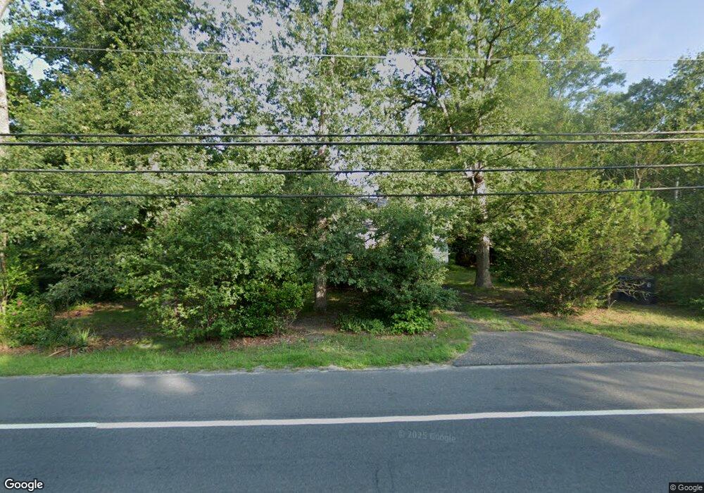
2221 Route 50 Mays Landing, NJ 08330
Estimated Value: $212,925 - $330,000
--
Bed
--
Bath
820
Sq Ft
$333/Sq Ft
Est. Value
About This Home
This home is located at 2221 Route 50, Mays Landing, NJ 08330 and is currently estimated at $272,731, approximately $332 per square foot. 2221 Route 50 is a home located in Atlantic County with nearby schools including Joseph Shaner School, George L. Hess Educational Complex, and William Davies Middle School.
Ownership History
Date
Name
Owned For
Owner Type
Purchase Details
Closed on
Aug 28, 2008
Sold by
Esposito Patricia A
Bought by
Esposito Donna M
Current Estimated Value
Purchase Details
Closed on
May 28, 1993
Sold by
First Atlantic Federal Credit Union
Bought by
Conner Carmella and Conner Dipasquale,Lolita
Purchase Details
Closed on
May 18, 1992
Sold by
Thorpe Charles
Bought by
First Atlantic Federal Cresit Union
Create a Home Valuation Report for This Property
The Home Valuation Report is an in-depth analysis detailing your home's value as well as a comparison with similar homes in the area
Home Values in the Area
Average Home Value in this Area
Purchase History
| Date | Buyer | Sale Price | Title Company |
|---|---|---|---|
| Esposito Donna M | -- | None Available | |
| Conner Carmella | $55,000 | -- | |
| First Atlantic Federal Cresit Union | -- | -- |
Source: Public Records
Tax History Compared to Growth
Tax History
| Year | Tax Paid | Tax Assessment Tax Assessment Total Assessment is a certain percentage of the fair market value that is determined by local assessors to be the total taxable value of land and additions on the property. | Land | Improvement |
|---|---|---|---|---|
| 2025 | $4,007 | $116,800 | $50,000 | $66,800 |
| 2024 | $4,007 | $116,800 | $50,000 | $66,800 |
| 2023 | $3,768 | $116,800 | $50,000 | $66,800 |
| 2022 | $3,768 | $116,800 | $50,000 | $66,800 |
| 2021 | $3,760 | $116,800 | $50,000 | $66,800 |
| 2020 | $3,760 | $116,800 | $50,000 | $66,800 |
| 2019 | $3,769 | $116,800 | $50,000 | $66,800 |
| 2018 | $3,637 | $116,800 | $50,000 | $66,800 |
| 2017 | $3,580 | $116,800 | $50,000 | $66,800 |
| 2016 | $3,479 | $116,800 | $50,000 | $66,800 |
| 2015 | $3,362 | $116,800 | $50,000 | $66,800 |
| 2014 | $3,426 | $128,400 | $58,000 | $70,400 |
Source: Public Records
Map
Nearby Homes