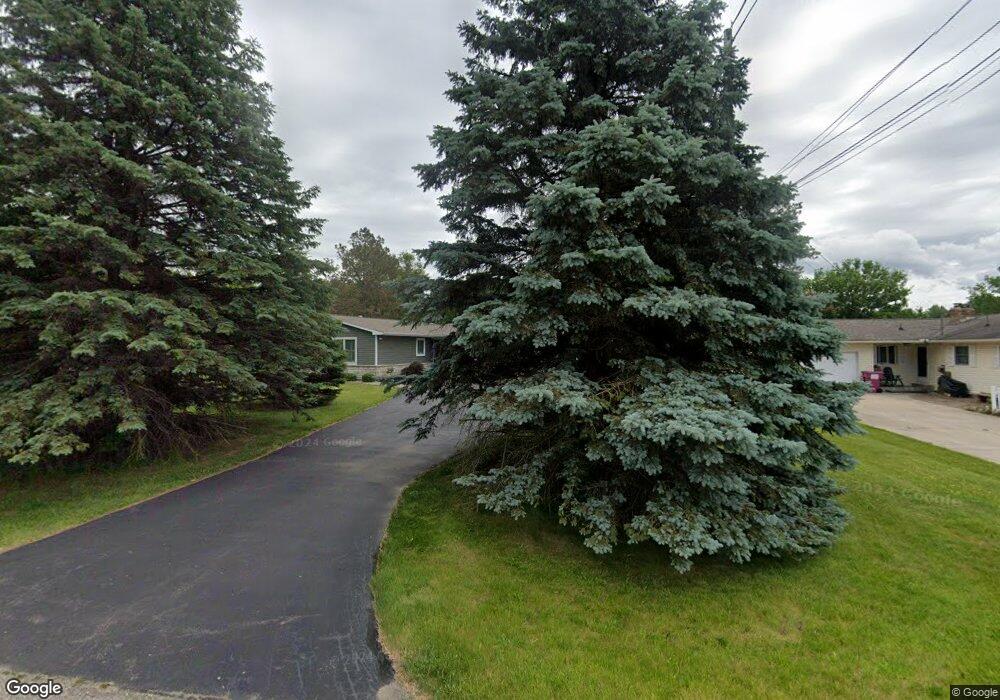
2221 W Garrison Rd Owosso, MI 48867
Estimated Value: $379,000 - $401,000
4
Beds
3
Baths
1,500
Sq Ft
$261/Sq Ft
Est. Value
About This Home
This home is located at 2221 W Garrison Rd, Owosso, MI 48867 and is currently estimated at $391,881, approximately $261 per square foot. 2221 W Garrison Rd is a home located in Shiawassee County with nearby schools including Owosso High School and Owosso Christian School.
Ownership History
Date
Name
Owned For
Owner Type
Purchase Details
Closed on
Feb 3, 2015
Sold by
Clark Paul
Bought by
Choate James R Living Trust
Current Estimated Value
Purchase Details
Closed on
Jul 7, 2003
Sold by
Flynn Janice L
Bought by
Clark Paul
Home Financials for this Owner
Home Financials are based on the most recent Mortgage that was taken out on this home.
Original Mortgage
$148,400
Interest Rate
5.3%
Mortgage Type
Purchase Money Mortgage
Create a Home Valuation Report for This Property
The Home Valuation Report is an in-depth analysis detailing your home's value as well as a comparison with similar homes in the area
Home Values in the Area
Average Home Value in this Area
Purchase History
| Date | Buyer | Sale Price | Title Company |
|---|---|---|---|
| Choate James R Living Trust | $170,000 | -- | |
| Clark Paul | $164,900 | Chicago Title |
Source: Public Records
Mortgage History
| Date | Status | Borrower | Loan Amount |
|---|---|---|---|
| Previous Owner | Clark Paul | $148,400 |
Source: Public Records
Tax History Compared to Growth
Tax History
| Year | Tax Paid | Tax Assessment Tax Assessment Total Assessment is a certain percentage of the fair market value that is determined by local assessors to be the total taxable value of land and additions on the property. | Land | Improvement |
|---|---|---|---|---|
| 2025 | $7,346 | $189,300 | $0 | $0 |
| 2024 | $7,262 | $188,400 | $0 | $0 |
| 2023 | $1,717 | $186,600 | $0 | $0 |
| 2022 | $1,635 | $176,000 | $0 | $0 |
| 2021 | $6,153 | $143,900 | $0 | $0 |
| 2020 | $5,698 | $119,100 | $0 | $0 |
| 2019 | $5,626 | $116,400 | $0 | $0 |
| 2018 | $5,620 | $117,000 | $0 | $0 |
| 2017 | $4,896 | $111,700 | $0 | $0 |
| 2016 | -- | $111,700 | $0 | $0 |
| 2015 | -- | $111,100 | $0 | $0 |
| 2014 | $11 | $107,700 | $0 | $0 |
Source: Public Records
Map
Nearby Homes
- 4650 Waugh Rd
- 4458 S M 52
- 2628 W Brewer Rd
- 2973 W Brewer Rd
- V/L Morrice Rd Rd
- 0 Gale Rd Unit 50124635
- 8 Bennington Greens Dr
- 25 Bennington Greens Dr
- 26 Bennington Greens Dr Unit 26
- 20 Bennington Greens Dr
- 24 Bennington Greens Dr
- 38 Bennington Greens Dr
- 14 Bennington Greens Dr
- 54 Bennington Greens Dr
- 7697 Riverview St
- 38 Bennington Greens
- 3110 Innsbrook Dr
- 2560 S Morrice Rd
- 3062 Innsbrook Dr
- 3287 Oakview Dr
- 2223 W Garrison Rd
- 4972 Chippewa Path
- 4947 Chippewa Ct
- 4947 Chippewa Ct Unit 1
- 4985 Chippewa Path
- 4914 Chippewa Ct
- 4945 Chippewa Ct
- 2120 W Garrison Rd
- 4941 Chippewa Ct
- 4908 Chippewa Ct
- 4917 Chippewa Ct
- 4923 Chippewa Ct
- 4911 Chippewa Ct
- 4929 Chippewa Ct
- 2393 W Garrison Rd
- 0 Chippewa Ct Unit 30010854
- 0 Chippewa Ct Unit 30024640
- 0 Chippewa Ct Unit 4513008
- 00 Chippewa Ct
- 0 Chippewa Ct Unit G31139390