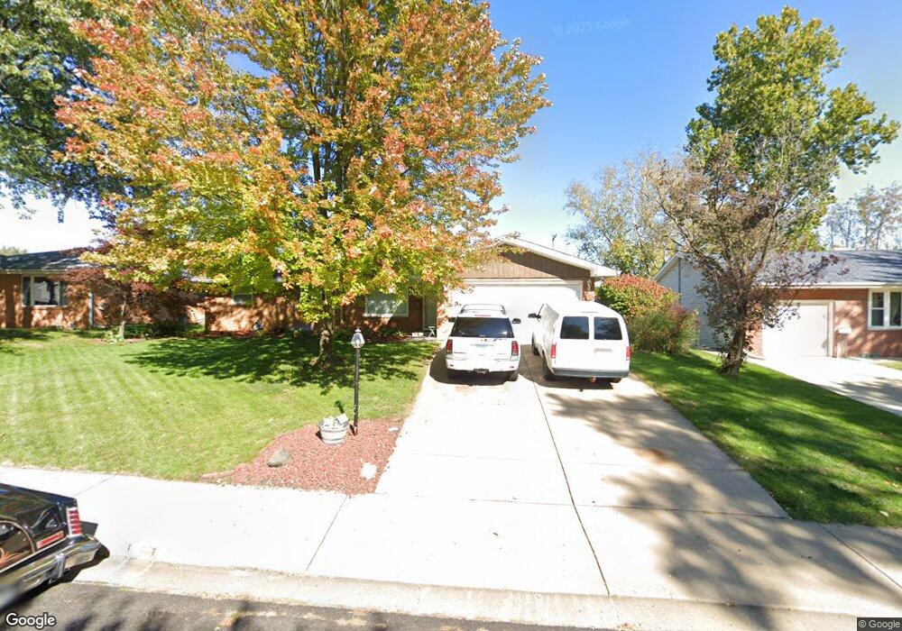
2221 W Overhill Rd Peoria, IL 61615
North Peoria NeighborhoodEstimated Value: $165,000 - $189,000
3
Beds
2
Baths
1,650
Sq Ft
$106/Sq Ft
Est. Value
About This Home
This home is located at 2221 W Overhill Rd, Peoria, IL 61615 and is currently estimated at $175,413, approximately $106 per square foot. 2221 W Overhill Rd is a home located in Peoria County with nearby schools including Dr Maude A Sanders Primary School, Sterling Middle School, and Peoria High School.
Ownership History
Date
Name
Owned For
Owner Type
Purchase Details
Closed on
Sep 30, 2014
Sold by
Lussenhop John R and Lussenhop Beverly A
Bought by
Smith Larry L
Current Estimated Value
Home Financials for this Owner
Home Financials are based on the most recent Mortgage that was taken out on this home.
Original Mortgage
$146,000
Outstanding Balance
$110,975
Interest Rate
3.87%
Mortgage Type
New Conventional
Estimated Equity
$64,438
Create a Home Valuation Report for This Property
The Home Valuation Report is an in-depth analysis detailing your home's value as well as a comparison with similar homes in the area
Home Values in the Area
Average Home Value in this Area
Purchase History
| Date | Buyer | Sale Price | Title Company |
|---|---|---|---|
| Smith Larry L | $146,000 | -- |
Source: Public Records
Mortgage History
| Date | Status | Borrower | Loan Amount |
|---|---|---|---|
| Open | Smith Larry L | $146,000 |
Source: Public Records
Tax History Compared to Growth
Tax History
| Year | Tax Paid | Tax Assessment Tax Assessment Total Assessment is a certain percentage of the fair market value that is determined by local assessors to be the total taxable value of land and additions on the property. | Land | Improvement |
|---|---|---|---|---|
| 2024 | -- | $53,350 | $6,950 | $46,400 |
| 2023 | -- | $48,950 | $6,380 | $42,570 |
| 2022 | $0 | $46,810 | $6,060 | $40,750 |
| 2021 | $3,664 | $44,580 | $5,770 | $38,810 |
| 2020 | $3,664 | $44,140 | $5,710 | $38,430 |
| 2019 | $3,664 | $45,040 | $5,830 | $39,210 |
| 2018 | $0 | $46,220 | $5,890 | $40,330 |
| 2017 | $3,237 | $46,690 | $5,950 | $40,740 |
| 2016 | $3,237 | $46,690 | $5,950 | $40,740 |
| 2015 | $3,237 | $45,770 | $5,830 | $39,940 |
| 2014 | $3,249 | $46,160 | $5,790 | $40,370 |
| 2013 | $3,664 | $46,720 | $5,860 | $40,860 |
Source: Public Records
Map
Nearby Homes
- 2214 W Bainter Ln
- 4011 N Sterling Ave
- 3720 N Saint Michael Ave
- 2705 W Millbrook Ct
- 3623 N Sterling Ave Unit b-17
- 3423 N El Vista Ave
- 3808 N Walround Ln
- 2221 W Tripp Ave
- 2011 W Richwoods Blvd
- 2036 W Richwoods Blvd
- 2910 W Westport Rd
- 2922 W Larchmont Ln
- 2318 W Albany Ave
- 2315 W Hudson St
- 4426 N Wilco Dr
- 3010 W Brookside Dr
- 2029 W Forrest Hill Ave
- 4036 N Westport Ct
- 2724 W Scenic Dr
- 4212 N Keenland Ave
- 2225 W Overhill Rd
- 2215 W Overhill Rd
- 2218 W Bainter Ln
- 2211 W Overhill Rd
- 2303 W Overhill Rd
- 2220 W Overhill Rd
- 2208 W Bainter Ln
- 2302 W Bainter Ln
- 2224 W Overhill Rd
- 2214 W Overhill Rd
- 3827 N Donna Ln
- 2307 W Overhill Rd
- 2210 W Overhill Rd
- 3835 N Donna Ln
- 2302 W Overhill Rd
- 2306 W Bainter Ln
- 3833 N Donna Ln
- 3817 N Donna Ln
- 3909 N Donna Ln
- 2308 W Overhill Rd