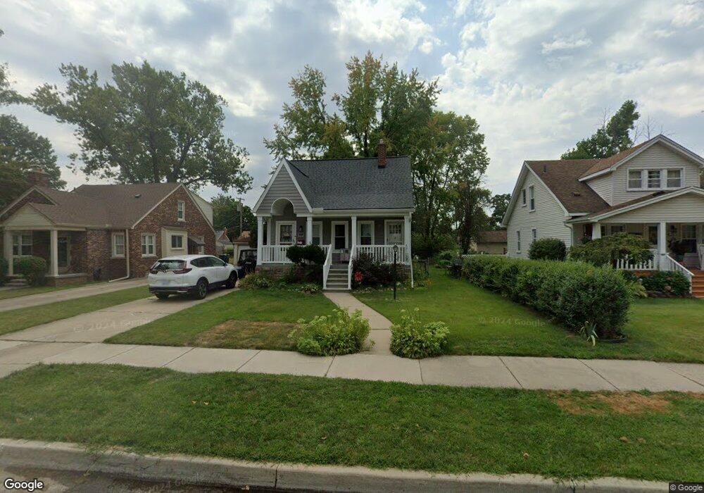
22211 Olmstead St Unit Bldg-Unit Dearborn, MI 48124
Ford Homes Historic District NeighborhoodEstimated Value: $284,000 - $301,000
3
Beds
2
Baths
1,260
Sq Ft
$234/Sq Ft
Est. Value
About This Home
This home is located at 22211 Olmstead St Unit Bldg-Unit, Dearborn, MI 48124 and is currently estimated at $294,517, approximately $233 per square foot. 22211 Olmstead St Unit Bldg-Unit is a home located in Wayne County with nearby schools including Duvall Elementary School, Smith Middle School, and Edsel Ford High School.
Ownership History
Date
Name
Owned For
Owner Type
Purchase Details
Closed on
Oct 7, 2021
Sold by
Navigato Trade Michelle
Bought by
Fennell Laura
Current Estimated Value
Purchase Details
Closed on
Jun 4, 2018
Sold by
Harris Stacy B and Meadows Robin
Bought by
Navigato Tracie Michelle
Purchase Details
Closed on
Jul 28, 2005
Sold by
Harris Stacy B
Bought by
Harris Stacy B
Home Financials for this Owner
Home Financials are based on the most recent Mortgage that was taken out on this home.
Original Mortgage
$70,000
Interest Rate
5.71%
Mortgage Type
Stand Alone Refi Refinance Of Original Loan
Create a Home Valuation Report for This Property
The Home Valuation Report is an in-depth analysis detailing your home's value as well as a comparison with similar homes in the area
Home Values in the Area
Average Home Value in this Area
Purchase History
| Date | Buyer | Sale Price | Title Company |
|---|---|---|---|
| Fennell Laura | $220,000 | Stg | |
| Navigato Tracie Michelle | $122,000 | Title One Inc | |
| Harris Stacy B | -- | Michigan Bankers Title Of Ea |
Source: Public Records
Mortgage History
| Date | Status | Borrower | Loan Amount |
|---|---|---|---|
| Previous Owner | Harris Stacy B | $70,000 |
Source: Public Records
Tax History
| Year | Tax Paid | Tax Assessment Tax Assessment Total Assessment is a certain percentage of the fair market value that is determined by local assessors to be the total taxable value of land and additions on the property. | Land | Improvement |
|---|---|---|---|---|
| 2025 | $6,050 | $132,600 | $0 | $0 |
| 2024 | $5,892 | $117,900 | $0 | $0 |
| 2023 | $4,986 | $151,500 | $0 | $0 |
| 2022 | $5,089 | $99,000 | $0 | $0 |
| 2021 | $3,551 | $64,500 | $0 | $0 |
| 2019 | $3,515 | $55,700 | $0 | $0 |
| 2018 | $2,779 | $51,200 | $0 | $0 |
| 2017 | $654 | $48,900 | $0 | $0 |
| 2016 | $2,630 | $47,700 | $0 | $0 |
| 2015 | $4,034 | $41,700 | $0 | $0 |
| 2013 | $3,930 | $39,300 | $0 | $0 |
| 2011 | -- | $41,350 | $0 | $0 |
Source: Public Records
Map
Nearby Homes
- 22043 Edison St
- 22402 Gregory St
- 22430 Nowlin St
- 22101 Francis St
- 22152 Francis St
- 21047 Outer Dr
- 22321 Cleveland St
- 21732 Tenny St
- 21230 Audette St
- 23323 Park St
- 23000 Columbia St
- 21522 Audrey St
- 3131 Mckinley St
- 23175 Nona St
- 22620 Newman St
- 2239 Parker St
- 22200 Abbey Ln Unit 11
- 3205 Lincoln St
- 22195 W Village Dr Unit 3
- 22732 Madison St
- 22211 Olmstead St
- 22219 Olmstead St
- 22201 Olmstead St
- 22231 Olmstead St
- 22141 Olmstead St
- 22160 Nowlin St
- 22150 Nowlin St
- 22204 Nowlin St
- 22140 Nowlin St
- 22251 Olmstead St
- 22210 Olmstead St
- 22220 Olmstead St
- 22131 Olmstead St
- 22200 Olmstead St
- 22218 Olmstead St
- 22218 Olmstead Unit #1 St
- 22212 Nowlin St
- 22130 Nowlin St
- 22230 Olmstead St
- 22152 Olmstead St
Your Personal Tour Guide
Ask me questions while you tour the home.