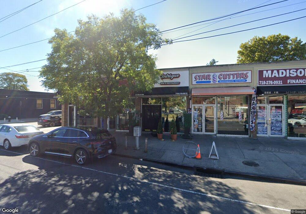
22216 Merrick Blvd Laurelton, NY 11413
Laurelton NeighborhoodEstimated Value: $2,979,924
--
Bed
--
Bath
5,440
Sq Ft
$548/Sq Ft
Est. Value
About This Home
This home is located at 22216 Merrick Blvd, Laurelton, NY 11413 and is currently estimated at $2,979,924, approximately $547 per square foot. 22216 Merrick Blvd is a home located in Queens County with nearby schools including Cynthia Jenkins School, Collaborative Arts Middle School, and Merrick Academy Charter School.
Ownership History
Date
Name
Owned For
Owner Type
Purchase Details
Closed on
Jul 3, 2019
Sold by
223 Merrick Corp
Bought by
Byit Llc and Sz Merrick Blvd Llc
Current Estimated Value
Purchase Details
Closed on
Oct 27, 2006
Sold by
Donus Robert
Bought by
Aba Holding Llc
Home Financials for this Owner
Home Financials are based on the most recent Mortgage that was taken out on this home.
Original Mortgage
$535,500
Interest Rate
6.31%
Mortgage Type
Commercial
Create a Home Valuation Report for This Property
The Home Valuation Report is an in-depth analysis detailing your home's value as well as a comparison with similar homes in the area
Home Values in the Area
Average Home Value in this Area
Purchase History
| Date | Buyer | Sale Price | Title Company |
|---|---|---|---|
| Byit Llc | $2,300,000 | -- | |
| Aba Holding Llc | $765,000 | -- | |
| Aba Holding Llc | $765,000 | -- |
Source: Public Records
Mortgage History
| Date | Status | Borrower | Loan Amount |
|---|---|---|---|
| Previous Owner | Aba Holding Llc | $535,500 |
Source: Public Records
Tax History Compared to Growth
Tax History
| Year | Tax Paid | Tax Assessment Tax Assessment Total Assessment is a certain percentage of the fair market value that is determined by local assessors to be the total taxable value of land and additions on the property. | Land | Improvement |
|---|---|---|---|---|
| 2025 | $42,002 | $432,090 | $90,000 | $342,090 |
| 2024 | $42,002 | $396,540 | $90,000 | $306,540 |
| 2023 | $39,466 | $372,600 | $90,000 | $282,600 |
| 2022 | $37,005 | $358,200 | $90,000 | $268,200 |
| 2021 | $32,194 | $301,050 | $90,000 | $211,050 |
| 2020 | $35,183 | $380,250 | $90,000 | $290,250 |
| 2019 | $33,185 | $358,200 | $90,000 | $268,200 |
Source: Public Records
Map
Nearby Homes
- 223-12 134th Rd
- 134-15 221st St
- 133-23 225th St
- 13512 223rd St
- 220-24 134th Rd
- 133-22 226th St
- 133-15 220th St
- 22111 136th Ave
- 22019 135th Ave
- 13538 223rd St
- 135-28 226th St
- 136-18 221st St
- 136-3 220th St
- 131-41 226th St Unit 60
- 131-20 224th St
- 135-06 228th St
- 22310 131st Ave
- 13315 228th St
- 22023 137th Ave
- 137-26 224th St
- 22202 Merrick Blvd
- 22302 Merrick Blvd
- 223-02 Merrick Blvd
- 13411 223rd St
- 134-17 223rd St
- 22310 Merrick Blvd
- 13417 223rd St
- 22215 Merrick Blvd
- 13414 224th St
- 22303 134th Rd
- 22126 Merrick Blvd
- 22315 Merrick Blvd
- 223-03 134th Rd
- 134-18 222nd St
- 22309 134th Rd
- 22301 Merrick Blvd
- 13418 222nd St
- 221-05 222 St
- 22309 134th Rd
- 13422 222nd St