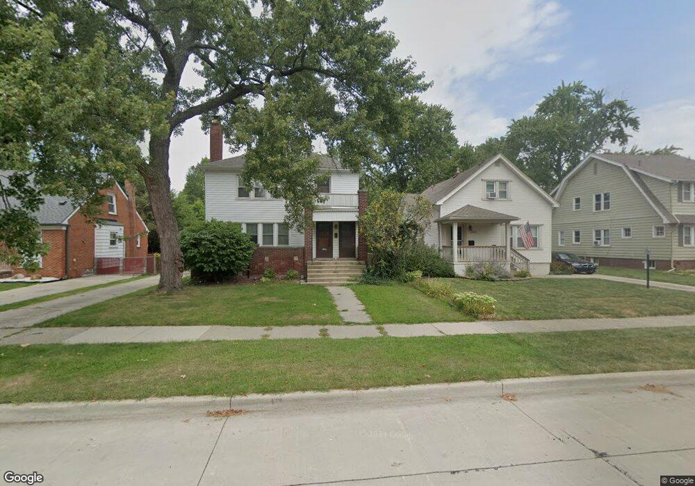
22218 Olmstead St Dearborn, MI 48124
Ford Homes Historic District NeighborhoodEstimated Value: $123,000 - $392,000
1
Bed
1
Bath
652
Sq Ft
$453/Sq Ft
Est. Value
About This Home
This home is located at 22218 Olmstead St, Dearborn, MI 48124 and is currently estimated at $295,667, approximately $453 per square foot. 22218 Olmstead St is a home located in Wayne County with nearby schools including Duvall Elementary School, Smith Middle School, and Edsel Ford High School.
Ownership History
Date
Name
Owned For
Owner Type
Purchase Details
Closed on
Jun 1, 2025
Sold by
Saleh Redhwan
Bought by
Saleh Redhwan and Saleh Yousef
Current Estimated Value
Purchase Details
Closed on
Oct 15, 2024
Sold by
Henry Properties No 4 Llc
Bought by
Saleh Redhwan M
Purchase Details
Closed on
Apr 1, 2004
Sold by
Fera Kelly
Bought by
Lange Stephen H
Purchase Details
Closed on
Mar 12, 2004
Sold by
Fera Michael
Bought by
Fera Kelly
Purchase Details
Closed on
Aug 28, 1997
Sold by
Copple Kenneth J
Bought by
Fera Michael A
Create a Home Valuation Report for This Property
The Home Valuation Report is an in-depth analysis detailing your home's value as well as a comparison with similar homes in the area
Home Values in the Area
Average Home Value in this Area
Purchase History
| Date | Buyer | Sale Price | Title Company |
|---|---|---|---|
| Saleh Redhwan | -- | None Listed On Document | |
| Saleh Redhwan M | $120,000 | None Listed On Document | |
| Lange Stephen H | $210,300 | -- | |
| Fera Kelly | -- | -- | |
| Fera Michael A | $135,000 | Title Source Inc |
Source: Public Records
Tax History Compared to Growth
Tax History
| Year | Tax Paid | Tax Assessment Tax Assessment Total Assessment is a certain percentage of the fair market value that is determined by local assessors to be the total taxable value of land and additions on the property. | Land | Improvement |
|---|---|---|---|---|
| 2024 | $5,397 | $160,200 | $0 | $0 |
| 2023 | $4,799 | $147,100 | $0 | $0 |
| 2022 | $5,525 | $116,100 | $0 | $0 |
| 2021 | $5,661 | $116,900 | $0 | $0 |
| 2019 | $5,583 | $98,900 | $0 | $0 |
| 2018 | $4,845 | $94,700 | $0 | $0 |
| 2017 | $1,141 | $89,700 | $0 | $0 |
| 2016 | $4,585 | $88,600 | $0 | $0 |
| 2015 | $7,031 | $72,650 | $0 | $0 |
| 2013 | $6,850 | $68,500 | $0 | $0 |
| 2011 | -- | $72,100 | $0 | $0 |
Source: Public Records
Map
Nearby Homes
- 22324 Nowlin St
- 22509 Gregory St
- 22350 Military St
- 22951 Audette St
- 1449 Nowlin St
- 23044 Olmstead St
- 2939 Katherine St
- 23323 Park St
- 22457 Columbia St
- 21230 Audette St
- 22264 Abbey Ln Unit 24
- 2734 Vassar St
- 3101 Roosevelt St
- 22620 Newman St
- 23175 Nona St
- 20979 Audette St
- 29 W Village Ln
- 2718 Hubbard St
- 22157 W Village Dr Unit 16
- 22145 W Village Dr Unit 19
- 22218 Olmstead Unit #1 St
- 22220 Olmstead St
- 22210 Olmstead St
- 22230 Olmstead St
- 22200 Olmstead St
- 22240 Olmstead St
- 22238 Olmstead St
- 22238 Olmstead St
- 22152 Olmstead St
- 22211 Gregory St
- 22231 Gregory St
- 22201 Gregory St
- 22252 Olmstead St
- 22142 Olmstead St
- 22241 Gregory St
- 22151 Gregory St
- 22211 Olmstead St Unit Bldg-Unit
- 22211 Olmstead St
- 22219 Olmstead St
- 22260 Olmstead St