2222 Colestin Rd Ashland, OR 97520
Estimated Value: $1,223,000 - $1,431,073
2
Beds
3
Baths
5,395
Sq Ft
$242/Sq Ft
Est. Value
About This Home
This home is located at 2222 Colestin Rd, Ashland, OR 97520 and is currently estimated at $1,306,691, approximately $242 per square foot. 2222 Colestin Rd is a home located in Jackson County with nearby schools including Walker Elementary School, Ashland Middle School, and Ashland High School.
Ownership History
Date
Name
Owned For
Owner Type
Purchase Details
Closed on
Oct 10, 2013
Sold by
Fujas Richard E and Fujas Elizabeth S
Bought by
Fujas Richard E and Fujas Elizabeth S
Current Estimated Value
Purchase Details
Closed on
Mar 23, 2011
Sold by
Fujas Richard E and Fujas Elizabeth
Bought by
Fujas Elizabeth S and Fujas Richard E
Home Financials for this Owner
Home Financials are based on the most recent Mortgage that was taken out on this home.
Original Mortgage
$453,750
Interest Rate
5.02%
Mortgage Type
New Conventional
Create a Home Valuation Report for This Property
The Home Valuation Report is an in-depth analysis detailing your home's value as well as a comparison with similar homes in the area
Home Values in the Area
Average Home Value in this Area
Purchase History
| Date | Buyer | Sale Price | Title Company |
|---|---|---|---|
| Fujas Richard E | -- | None Available | |
| Fujas Elizabeth S | -- | Amerititle |
Source: Public Records
Mortgage History
| Date | Status | Borrower | Loan Amount |
|---|---|---|---|
| Closed | Fujas Elizabeth S | $453,750 |
Source: Public Records
Tax History Compared to Growth
Tax History
| Year | Tax Paid | Tax Assessment Tax Assessment Total Assessment is a certain percentage of the fair market value that is determined by local assessors to be the total taxable value of land and additions on the property. | Land | Improvement |
|---|---|---|---|---|
| 2025 | $11,852 | $1,061,570 | $250,680 | $810,890 |
| 2024 | $11,852 | $1,030,660 | $243,390 | $787,270 |
| 2023 | $13,233 | $1,000,650 | $236,290 | $764,360 |
| 2022 | $12,645 | $1,000,650 | $236,290 | $764,360 |
| 2021 | $12,309 | $971,510 | $229,410 | $742,100 |
| 2020 | $11,668 | $943,220 | $222,730 | $720,490 |
| 2019 | $10,734 | $830,360 | $209,940 | $620,420 |
| 2018 | $9,920 | $806,180 | $203,820 | $602,360 |
| 2017 | $9,822 | $806,180 | $203,820 | $602,360 |
| 2016 | $9,339 | $759,910 | $192,110 | $567,800 |
| 2015 | $9,307 | $759,910 | $192,110 | $567,800 |
| 2014 | $7,181 | $609,420 | $181,070 | $428,350 |
Source: Public Records
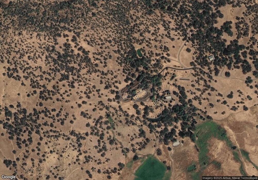
Map
Nearby Homes
- 0 Colestin Rd Unit 104385842
- 500 Mt Ashland Ski Rd
- 0 Highway 99 Unit 220209869
- 9840 Mount Ashland Ski Rd
- 4712 Old Highway 99 S
- 5631 Old Highway 99 S
- 5010 Old Highway 99 S
- 0 Old Hwy 99 Unit 220199869
- 4492 Old Highway 99 S
- 500 Conifer Way
- 545 Conifer Way
- 492 Conifer Way
- 3721 Old Highway 99 S
- 405 Old Cottonwood Creek Rd
- 1988 Old Siskiyou Hwy
- 1694 Old Siskiyou Hwy
- 16617 Cottonwood Creek Rd
- XOX Ditch Creek Rd
- 0 0 Unit SR25105675
- 108 Baldy Creek Rd