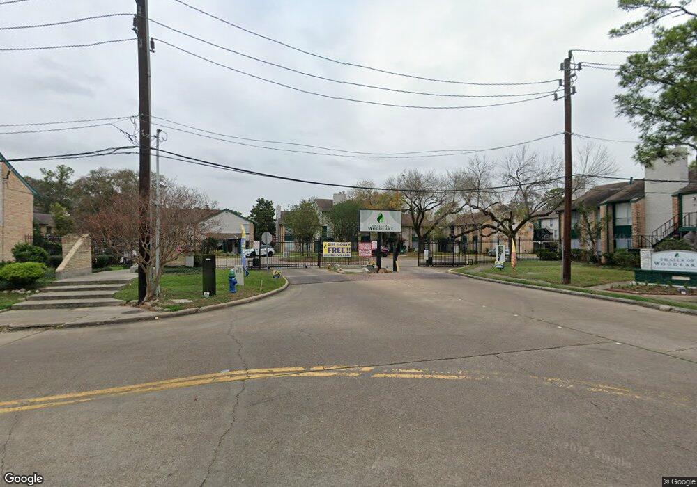
2222 Westerland Dr Unit 221 Houston, TX 77063
Mid West NeighborhoodEstimated Value: $100,688 - $179,000
1
Bed
2
Baths
1,080
Sq Ft
$138/Sq Ft
Est. Value
About This Home
This home is located at 2222 Westerland Dr Unit 221, Houston, TX 77063 and is currently estimated at $149,229, approximately $138 per square foot. 2222 Westerland Dr Unit 221 is a home located in Harris County with nearby schools including Emerson Elementary School, Paul Revere Middle School, and Wisdom High School.
Ownership History
Date
Name
Owned For
Owner Type
Purchase Details
Closed on
Oct 1, 2012
Sold by
Strohl Robert A and Strohl Eloisa D
Bought by
Rama Trails Woodlake Llc
Current Estimated Value
Purchase Details
Closed on
Jul 26, 2001
Sold by
Sigur Alicia Maria
Bought by
Stohl Robert A and Strohl Eloisa D
Home Financials for this Owner
Home Financials are based on the most recent Mortgage that was taken out on this home.
Original Mortgage
$48,500
Interest Rate
7.05%
Create a Home Valuation Report for This Property
The Home Valuation Report is an in-depth analysis detailing your home's value as well as a comparison with similar homes in the area
Home Values in the Area
Average Home Value in this Area
Purchase History
| Date | Buyer | Sale Price | Title Company |
|---|---|---|---|
| Rama Trails Woodlake Llc | -- | American Title Company | |
| Rama Trails Woodlake Llc | -- | American Title Company | |
| Stohl Robert A | -- | Stewart Title |
Source: Public Records
Mortgage History
| Date | Status | Borrower | Loan Amount |
|---|---|---|---|
| Previous Owner | Stohl Robert A | $48,500 |
Source: Public Records
Tax History Compared to Growth
Tax History
| Year | Tax Paid | Tax Assessment Tax Assessment Total Assessment is a certain percentage of the fair market value that is determined by local assessors to be the total taxable value of land and additions on the property. | Land | Improvement |
|---|---|---|---|---|
| 2025 | $750 | $39,483 | $7,502 | $31,981 |
| 2024 | $750 | $35,863 | $6,814 | $29,049 |
| 2023 | $750 | $35,225 | $6,693 | $28,532 |
| 2022 | $770 | $34,988 | $6,648 | $28,340 |
| 2021 | $764 | $32,797 | $6,231 | $26,566 |
| 2020 | $830 | $34,274 | $6,512 | $27,762 |
| 2019 | $855 | $33,806 | $6,423 | $27,383 |
| 2018 | $583 | $30,313 | $5,759 | $24,554 |
| 2017 | $766 | $30,313 | $5,759 | $24,554 |
| 2016 | $1,209 | $0 | $0 | $0 |
| 2015 | -- | $44,222 | $8,402 | $35,820 |
| 2014 | -- | $65,696 | $12,482 | $53,214 |
Source: Public Records
Map
Nearby Homes
- 12 W Shady Ln
- 14 1/2 W Shady Ln
- 0 W Shady Ln
- 32 E Shady Ln
- 22 E Shady Ln Unit E
- 9410 Shady Lane Ct
- 2238 S Piney Point Rd Unit 207
- 2238 S Piney Point Rd Unit 209
- 2234 S Piney Point Rd Unit 207
- 9171 Briar Forest Dr
- 9476 Briar Forest Dr
- 9200 Westheimer Rd Unit 1701
- 9200 Westheimer Rd Unit 1302
- 9200 Westheimer Rd Unit 604
- 9200 Westheimer Rd Unit 203
- 9200 Westheimer Rd Unit 1607
- 9200 Westheimer Rd Unit 902
- 2230 S Piney Point Rd Unit 212
- 2230 S Piney Point Rd Unit 113
- 2230 S Piney Point Rd Unit 206
- 2222 Westerland Dr Unit 116
- 2222 Westerland Dr Unit 22
- 2222 Westerland Dr Unit 98
- 2222 Westerland Dr Unit 209
- 2222 Westerland Dr Unit 77
- 2222 Westerland Dr Unit 174
- 2222 Westerland Dr Unit 70
- 2222 Westerland Dr Unit 76
- 2222 Westerland Dr Unit 175
- 2222 Westerland Dr Unit 173
- 2222 Westerland Dr Unit 172
- 2222 Westerland Dr Unit 171
- 2222 Westerland Dr Unit 170
- 2222 Westerland Dr Unit 169
- 2222 Westerland Dr Unit 168
- 2222 Westerland Dr Unit 75
- 2222 Westerland Dr Unit 74
- 2222 Westerland Dr Unit 73
- 2222 Westerland Dr Unit 72
- 2222 Westerland Dr Unit 71