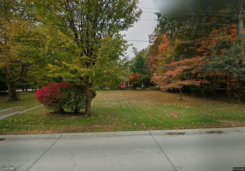
22225 Albion Rd Strongsville, OH 44149
Estimated Value: $251,104 - $309,000
4
Beds
1
Bath
1,328
Sq Ft
$220/Sq Ft
Est. Value
About This Home
This home is located at 22225 Albion Rd, Strongsville, OH 44149 and is currently estimated at $291,526, approximately $219 per square foot. 22225 Albion Rd is a home located in Cuyahoga County with nearby schools including Strongsville High School and Sts Joseph & John Interparochial School.
Ownership History
Date
Name
Owned For
Owner Type
Purchase Details
Closed on
Oct 21, 2008
Sold by
Mieyal Jeanette L
Bought by
Black Timothy S
Current Estimated Value
Purchase Details
Closed on
Jul 10, 2003
Sold by
Sawicki Jeffrey R and Sawicki Laura J
Bought by
Black Timothy S and Mieyal Jeanette L
Home Financials for this Owner
Home Financials are based on the most recent Mortgage that was taken out on this home.
Original Mortgage
$141,200
Interest Rate
5.36%
Mortgage Type
Purchase Money Mortgage
Purchase Details
Closed on
Feb 16, 1994
Sold by
Bardar James Andrew
Bought by
Sawicki Jeffrey R
Purchase Details
Closed on
Dec 23, 1986
Sold by
Davison Colleen A
Bought by
Bardar James Andrew
Purchase Details
Closed on
Oct 9, 1985
Sold by
Hoskin William H and Hoskin Bernadine
Bought by
Davison Colleen A
Purchase Details
Closed on
Jan 1, 1975
Bought by
Hoskin William H and Hoskin Bernadine
Create a Home Valuation Report for This Property
The Home Valuation Report is an in-depth analysis detailing your home's value as well as a comparison with similar homes in the area
Home Values in the Area
Average Home Value in this Area
Purchase History
| Date | Buyer | Sale Price | Title Company |
|---|---|---|---|
| Black Timothy S | -- | Attorney | |
| Black Timothy S | $176,500 | Premier Title Agency | |
| Sawicki Jeffrey R | $122,000 | -- | |
| Bardar James Andrew | $67,000 | -- | |
| Davison Colleen A | $60,000 | -- | |
| Hoskin William H | -- | -- |
Source: Public Records
Mortgage History
| Date | Status | Borrower | Loan Amount |
|---|---|---|---|
| Previous Owner | Black Timothy S | $141,200 |
Source: Public Records
Tax History Compared to Growth
Tax History
| Year | Tax Paid | Tax Assessment Tax Assessment Total Assessment is a certain percentage of the fair market value that is determined by local assessors to be the total taxable value of land and additions on the property. | Land | Improvement |
|---|---|---|---|---|
| 2024 | $3,942 | $83,965 | $15,925 | $68,040 |
| 2023 | $4,302 | $68,710 | $18,870 | $49,840 |
| 2022 | $4,271 | $68,710 | $18,870 | $49,840 |
| 2021 | $4,237 | $68,710 | $18,870 | $49,840 |
| 2020 | $3,926 | $56,320 | $15,470 | $40,850 |
| 2019 | $3,811 | $160,900 | $44,200 | $116,700 |
| 2018 | $3,459 | $56,320 | $15,470 | $40,850 |
| 2017 | $3,483 | $52,510 | $12,220 | $40,290 |
| 2016 | $3,455 | $52,510 | $12,220 | $40,290 |
| 2015 | $3,401 | $52,510 | $12,220 | $40,290 |
| 2014 | $3,401 | $50,970 | $11,870 | $39,100 |
Source: Public Records
Map
Nearby Homes
- 11030 Southwind Ct
- 10842 Fence Row Dr
- 10824 Watercress Rd
- 0 Priem Rd
- 21359 Briar Bush Ln
- 10800 Meadow Trail
- 10353 Oak Branch Trail
- 22300 Rock Creek Cir
- 12515 Countryside Dr
- 9829 Plum Brook Ln
- 21176 Hickory Branch Trail
- 10001 N Marks Rd
- 21469 Woodview Cir
- 21292 Creekside Dr
- 12579 Woodberry Ln
- 10839 Prospect Rd
- 9598 Pebble Brook Ln
- 8746 Barton Dr
- 20684 Albion Rd
- 22235 North Trail
- 22727 Northwood Trail
- 22709 Northwood Trail
- 11270 Fox Grove
- 11021 Eastwind Ct
- 22117 Albion Rd
- 22691 Northwood Trail
- 22718 Northwood Trail
- 11019 Eastwind Ct
- 11022 Eastwind Ct
- 11017 Eastwind Ct
- 22700 Northwood Trail
- 22077 Albion Rd
- 22673 Northwood Trail
- 11020 Eastwind Ct
- 11312 Fox Grove
- 11015 Eastwind Ct
- 22682 Northwood Trail
- 11018 Eastwind Ct
- 11029 Southwind Ct
- 22116 Albion Rd