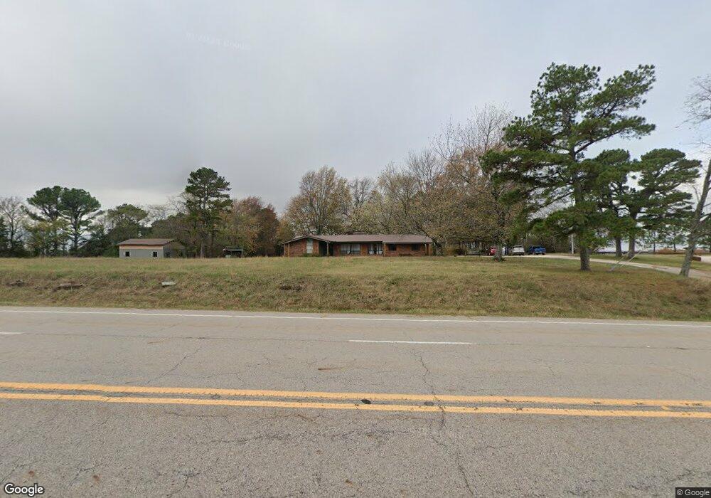
22229 N Highway 71 Winslow, AR 72959
Estimated Value: $126,000 - $381,000
--
Bed
2
Baths
1,776
Sq Ft
$133/Sq Ft
Est. Value
About This Home
This home is located at 22229 N Highway 71, Winslow, AR 72959 and is currently estimated at $236,747, approximately $133 per square foot. 22229 N Highway 71 is a home located in Crawford County with nearby schools including Mountainburg Elementary School, Mountainburg Middle School, and Mountainburg High School.
Ownership History
Date
Name
Owned For
Owner Type
Purchase Details
Closed on
Jun 10, 2025
Sold by
Rockin J Ranch Llc
Bought by
City Of Winslow
Current Estimated Value
Purchase Details
Closed on
Apr 1, 2025
Sold by
Pense Harvey and Kelly Miranda
Bought by
Rockin J Ranch Llc
Purchase Details
Closed on
Apr 18, 2022
Sold by
Bells Ancillary Laura Leigh
Bought by
Pense Harvey and Kelly Miranda
Purchase Details
Closed on
Dec 30, 1975
Bought by
Bellis and Bellis
Create a Home Valuation Report for This Property
The Home Valuation Report is an in-depth analysis detailing your home's value as well as a comparison with similar homes in the area
Home Values in the Area
Average Home Value in this Area
Purchase History
| Date | Buyer | Sale Price | Title Company |
|---|---|---|---|
| City Of Winslow | $10,000 | Realty Title | |
| Rockin J Ranch Llc | $280,000 | Crawford County Abstract | |
| Pense Harvey | -- | Western Arkansas Title Service | |
| Bellis | -- | -- |
Source: Public Records
Tax History Compared to Growth
Tax History
| Year | Tax Paid | Tax Assessment Tax Assessment Total Assessment is a certain percentage of the fair market value that is determined by local assessors to be the total taxable value of land and additions on the property. | Land | Improvement |
|---|---|---|---|---|
| 2025 | $1,239 | $35,840 | $1,910 | $33,930 |
| 2024 | $1,339 | $35,840 | $1,910 | $33,930 |
| 2023 | $1,414 | $35,840 | $1,910 | $33,930 |
| 2022 | $874 | $17,040 | $1,550 | $15,490 |
| 2021 | $876 | $17,070 | $1,580 | $15,490 |
| 2020 | $792 | $17,070 | $1,580 | $15,490 |
| 2019 | $792 | $17,070 | $1,580 | $15,490 |
| 2018 | $792 | $17,070 | $1,580 | $15,490 |
| 2017 | $831 | $17,900 | $2,410 | $15,490 |
| 2016 | $831 | $17,900 | $2,410 | $15,490 |
| 2015 | $831 | $17,900 | $2,410 | $15,490 |
| 2014 | $831 | $17,900 | $2,410 | $15,490 |
Source: Public Records
Map
Nearby Homes
- 21701 Mount Gaylor Point
- 22764 Carter Lane Rd
- 21588 S Highway 71
- 20255 N Highway 71
- 20805 Pine Dr
- 20845 U S 71
- 47 Acres Wc 4275
- 610 Blueberry Hill Rd
- TBD N Devils Den Rd
- 11939 Canova Trail
- 11901 Canova Trail
- 19108 Canova Trail
- 156 Pinehaven Dr
- 1327 Copperhead Rd
- 15800 Sand Point Terrace
- 15802 Sand Point Terrace
- 15801 Sand Point Terrace
- 18708 S Highway 71
- 21710 Wc 274
- TBD Old Locke Rd
- 22120 N Highway 71
- 22036 N Highway 71
- 22036 N Highway 71
- 22442 N Highway 71
- 22431 N Highway 71
- 22500 N Highway 71
- 21923 Mount Gaylor Point
- 22202 N Highway 71
- 22258 N Highway 71
- 22308 N Highway 71
- 21908 Mount Gaylor Point
- 22515 N Highway 71
- 22515 N Highway 71
- 22520 N Highway 71
- 22520 N Highway 71
- 21859 Mt Gaylor Point
- 22535 N Highway 71
- 22535 N Highway 71
- 22536 N Highway 71
- 22324 N Highway 71