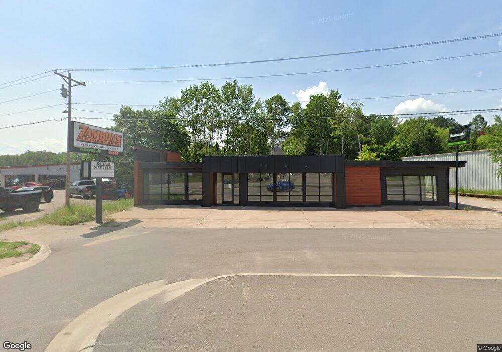
2223 U S 41 Marquette, MI 49855
Estimated Value: $416,499
--
Bed
--
Bath
6,975
Sq Ft
$60/Sq Ft
Est. Value
About This Home
This home is located at 2223 U S 41, Marquette, MI 49855 and is currently estimated at $416,499, approximately $59 per square foot. 2223 U S 41 is a home located in Marquette County with nearby schools including Superior Hills Elementary School, Bothwell Middle School, and Marquette Senior High School.
Ownership History
Date
Name
Owned For
Owner Type
Purchase Details
Closed on
Jul 2, 2021
Sold by
Race-Driven Inc
Bought by
Firehill Holdings Llc
Current Estimated Value
Home Financials for this Owner
Home Financials are based on the most recent Mortgage that was taken out on this home.
Original Mortgage
$256,000
Outstanding Balance
$232,280
Interest Rate
2.9%
Mortgage Type
New Conventional
Estimated Equity
$184,219
Purchase Details
Closed on
Jul 7, 2000
Create a Home Valuation Report for This Property
The Home Valuation Report is an in-depth analysis detailing your home's value as well as a comparison with similar homes in the area
Home Values in the Area
Average Home Value in this Area
Purchase History
| Date | Buyer | Sale Price | Title Company |
|---|---|---|---|
| Firehill Holdings Llc | $320,000 | Odea Nordeen And Pickens Pc | |
| -- | -- | -- |
Source: Public Records
Mortgage History
| Date | Status | Borrower | Loan Amount |
|---|---|---|---|
| Open | Firehill Holdings Llc | $256,000 |
Source: Public Records
Tax History Compared to Growth
Tax History
| Year | Tax Paid | Tax Assessment Tax Assessment Total Assessment is a certain percentage of the fair market value that is determined by local assessors to be the total taxable value of land and additions on the property. | Land | Improvement |
|---|---|---|---|---|
| 2025 | $22 | $189,100 | $0 | $0 |
| 2024 | $22 | $181,200 | $0 | $0 |
| 2023 | $1,371 | $170,700 | $0 | $0 |
| 2022 | $6,175 | $126,500 | $0 | $0 |
| 2021 | $5,884 | $124,400 | $0 | $0 |
| 2020 | $5,994 | $126,500 | $0 | $0 |
| 2019 | $4,962 | $124,500 | $0 | $0 |
| 2018 | $4,819 | $103,100 | $0 | $0 |
| 2017 | $4,760 | $103,500 | $0 | $0 |
| 2016 | $4,870 | $103,400 | $0 | $0 |
| 2015 | -- | $103,400 | $0 | $0 |
| 2014 | -- | $103,000 | $0 | $0 |
| 2012 | -- | $103,000 | $0 | $0 |
Source: Public Records
Map
Nearby Homes
- 590 Erie Ave
- 2093 Orchard St
- 1932 Orchard St
- 1902 Orchard St
- 2273 Allen St
- 2363 Allen St
- 2153 Cherry St
- 104 Forest Ridge Dr
- 109 Forest Ridge Dr
- 2232 Center St
- 1439 N Mc Clellan Ave
- 1917 Langford Dr
- 2132 Montgomery St
- 1411 West Ave
- 1908 Langford Dr
- 1507 W Fair Ave
- 301 Garfield Ave
- 19 Elder Dr
- 914 Wilson St
- 713 Grove St
- 2274 Us-41 W
- 2274 Us Highway 41 W
- 2203 U S 41
- 2294 Us 41 W
- 2323 U S 41
- 2182/2192 W Us41
- 2182/2192 Us41 W
- 2292 U S 41
- 2292 W Us41
- 2365 E M28
- 0 Brookton Rd
- 2302 Us Highway 41 W
- 150 Brookton Rd
- 2363 Us Highway 41 W
- 2363 Us Highway 41 W
- 155 Brookton Rd
- 160 Brookton Rd
- 2263 Orchard St
- 2212 Bancroft St
- 2212 Bancroft St