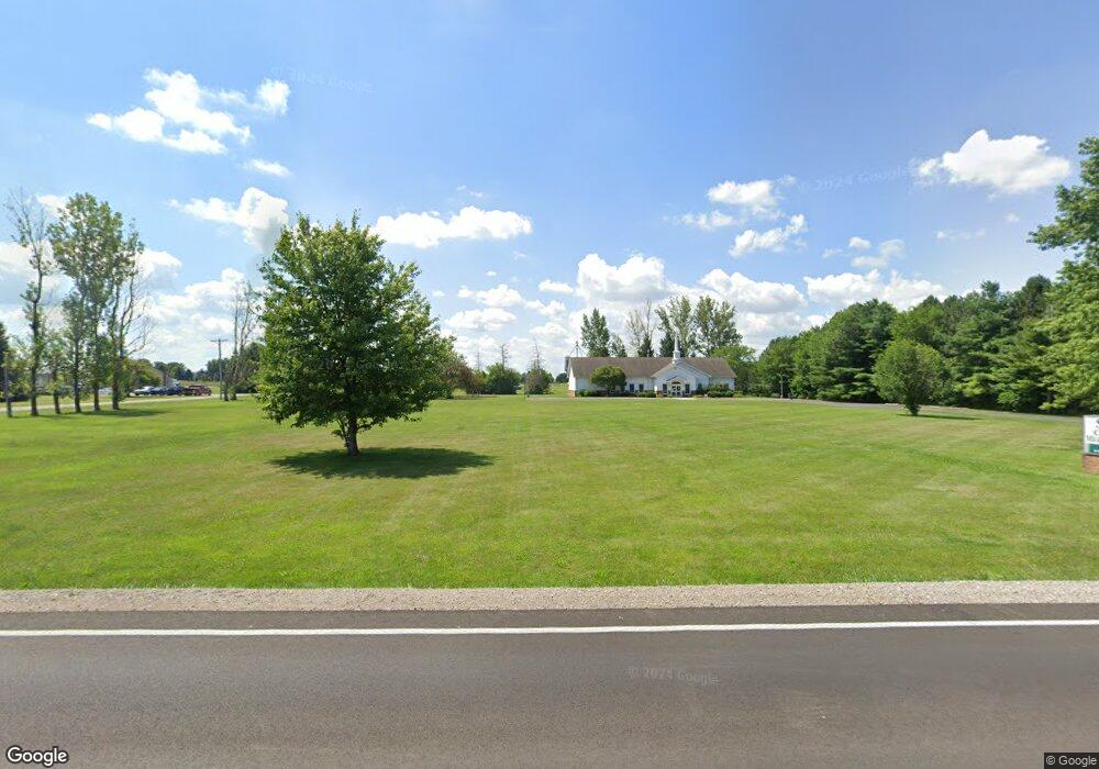
22231 State Route 2 Archbold, OH 43502
--
Bed
--
Bath
4,964
Sq Ft
3.17
Acres
About This Home
This home is located at 22231 State Route 2, Archbold, OH 43502. 22231 State Route 2 is a home located in Fulton County with nearby schools including Archbold Elementary School, Archbold Middle School, and Archbold High School.
Ownership History
Date
Name
Owned For
Owner Type
Purchase Details
Closed on
Oct 14, 2010
Sold by
First Church Of Christ Inc
Bought by
Shalom Ministries
Home Financials for this Owner
Home Financials are based on the most recent Mortgage that was taken out on this home.
Original Mortgage
$200,000
Outstanding Balance
$131,373
Interest Rate
4.26%
Mortgage Type
Future Advance Clause Open End Mortgage
Purchase Details
Closed on
Jan 1, 1990
Bought by
First Church Of Christ Inc
Create a Home Valuation Report for This Property
The Home Valuation Report is an in-depth analysis detailing your home's value as well as a comparison with similar homes in the area
Home Values in the Area
Average Home Value in this Area
Purchase History
| Date | Buyer | Sale Price | Title Company |
|---|---|---|---|
| Shalom Ministries | $120,000 | None Available | |
| First Church Of Christ Inc | -- | -- |
Source: Public Records
Mortgage History
| Date | Status | Borrower | Loan Amount |
|---|---|---|---|
| Open | Shalom Ministries | $200,000 |
Source: Public Records
Tax History Compared to Growth
Tax History
| Year | Tax Paid | Tax Assessment Tax Assessment Total Assessment is a certain percentage of the fair market value that is determined by local assessors to be the total taxable value of land and additions on the property. | Land | Improvement |
|---|---|---|---|---|
| 2024 | -- | $152,360 | $10,780 | $141,580 |
| 2023 | -- | $152,360 | $10,780 | $141,580 |
| 2022 | $0 | $152,360 | $10,780 | $141,580 |
| 2021 | $0 | $152,360 | $10,780 | $141,580 |
| 2020 | $0 | $152,360 | $10,780 | $141,580 |
| 2019 | $0 | $149,730 | $10,360 | $139,370 |
| 2018 | $0 | $149,730 | $10,360 | $139,370 |
| 2017 | $0 | $149,730 | $10,360 | $139,370 |
| 2016 | $0 | $149,730 | $10,360 | $139,370 |
| 2015 | -- | $149,730 | $10,360 | $139,370 |
| 2014 | -- | $149,730 | $10,360 | $139,370 |
| 2013 | -- | $143,080 | $10,360 | $132,720 |
Source: Public Records
Map
Nearby Homes
- 433 Primrose Ln
- 552 Quail Run
- 804 Murbach St
- 703 N Defiance St
- 411 Clover Ln
- 221 Farmington Rd
- 404 Walnut St
- 302 Degroff Ave
- 300 Degroff Ave
- 200 Pleasant St
- 206 Pleasant St
- 406 Park St
- 0 Westfield Dr
- 0 S Defiance St
- 200 Burke St
- 0 Lafayette St
- 24218 State Route 2
- 209 Dogwood Ct
- 202 Hawthorn Dr
- 4427 County Road 19
- 22121 State Route 2
- 22089 Ohio 2
- 22365 State Route 2
- 21936 State Route 2
- 21936 Ohio 2
- 4801 County Road 22
- 4756 County Road 22
- 5200 County Road 22
- 21760 State Route 2
- 00 NE County Road D
- 66 Sh 66 Hwy
- 0 Frey Rd Unit 6057761
- 0 Co Road 24 Unit 6065904
- 4527 County Road 22
- 22804 Ohio 2
- 0 Co Rd D Unit 5052087
- 0 Co Rd 20 Unit 5052088
- 0 Co Rd 26 Unit 5066012
- 0 Co Rd de Unit 5065540
- 0 Co Rd V Unit 5066281