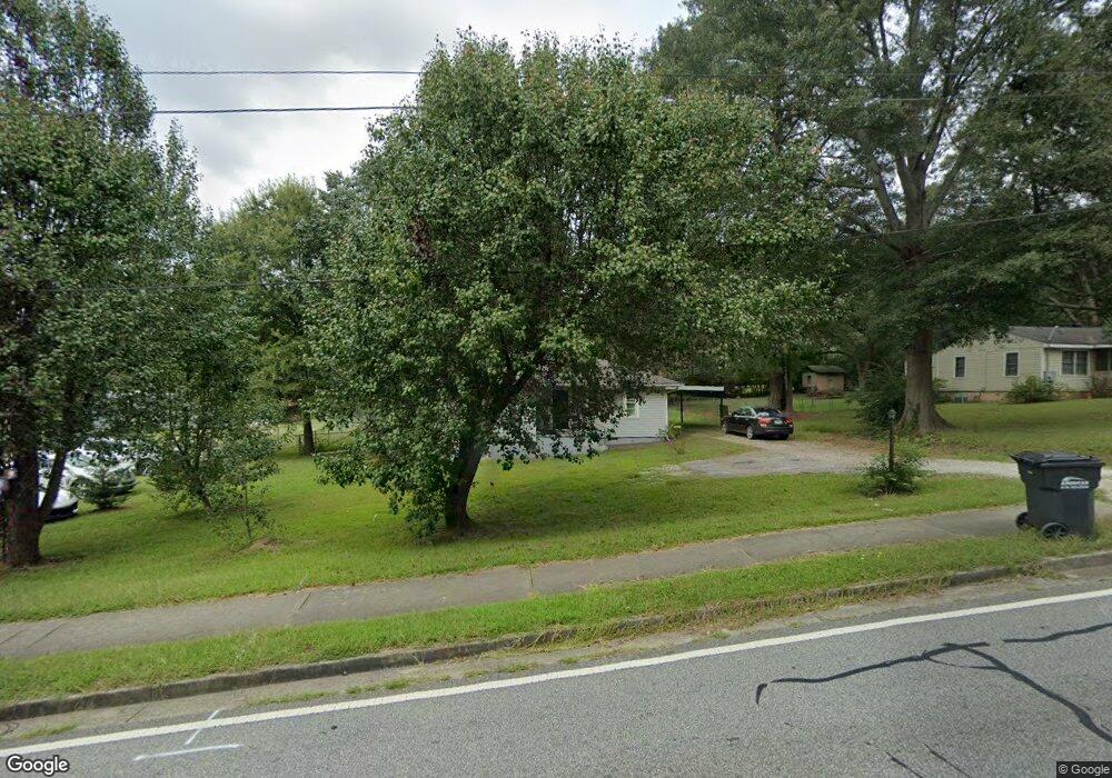
2224 Clay Rd Austell, GA 30106
Estimated Value: $132,000 - $188,000
1
Bed
1
Bath
844
Sq Ft
$199/Sq Ft
Est. Value
About This Home
This home is located at 2224 Clay Rd, Austell, GA 30106 and is currently estimated at $167,535, approximately $198 per square foot. 2224 Clay Rd is a home located in Cobb County with nearby schools including Clarkdale Elementary School, Garrett Middle School, and South Cobb High School.
Ownership History
Date
Name
Owned For
Owner Type
Purchase Details
Closed on
May 14, 2024
Sold by
Wilson Hiram
Bought by
Hn Wilson Family Properties Llc
Current Estimated Value
Purchase Details
Closed on
Aug 4, 2017
Sold by
Blunke Julie
Bought by
Wilson Hiram
Purchase Details
Closed on
Jun 19, 1998
Sold by
Putman Donald H
Bought by
Blumke Julie
Home Financials for this Owner
Home Financials are based on the most recent Mortgage that was taken out on this home.
Original Mortgage
$47,400
Interest Rate
7.14%
Mortgage Type
New Conventional
Create a Home Valuation Report for This Property
The Home Valuation Report is an in-depth analysis detailing your home's value as well as a comparison with similar homes in the area
Home Values in the Area
Average Home Value in this Area
Purchase History
| Date | Buyer | Sale Price | Title Company |
|---|---|---|---|
| Hn Wilson Family Properties Llc | -- | None Listed On Document | |
| Wilson Hiram | $40,000 | -- | |
| Blumke Julie | $49,900 | -- |
Source: Public Records
Mortgage History
| Date | Status | Borrower | Loan Amount |
|---|---|---|---|
| Previous Owner | Blumke Julie | $47,400 |
Source: Public Records
Tax History
| Year | Tax Paid | Tax Assessment Tax Assessment Total Assessment is a certain percentage of the fair market value that is determined by local assessors to be the total taxable value of land and additions on the property. | Land | Improvement |
|---|---|---|---|---|
| 2025 | $1,780 | $59,088 | $30,608 | $28,480 |
| 2024 | $1,782 | $59,088 | $30,608 | $28,480 |
| 2023 | $1,504 | $49,880 | $28,996 | $20,884 |
Source: Public Records
Map
Nearby Homes
- 2125 Clay Rd SW
- 4975 Brawner Lake Dr
- 4809 Hemlock Dr
- 2232 Warren Dr
- 0 Clay Rd
- 5164 Medford Ln
- 6025 Park Wood Ct
- 1 Perkerson Mill Rd SW
- 2349 Shire Ct
- 2136 Perkerson Mill Rd SW
- 5238 Jones Rd
- 4630 Hemlock Dr
- 2373 Buckley Ct
- 2650 Park Ave
- 1959 Oakbluff Dr
- 1943 Arnold Dr
- 2110 Plum Ln
- 4769 Nature Trail
- 4688 Bennett St
- 4778 Garrett Dr SW
Your Personal Tour Guide
Ask me questions while you tour the home.