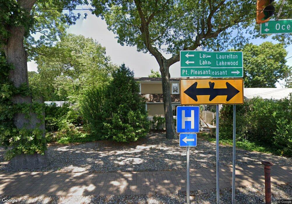
Estimated Value: $493,000 - $617,000
3
Beds
1
Bath
1,237
Sq Ft
$445/Sq Ft
Est. Value
About This Home
This home is located at 2224 Route 88, Brick, NJ 08724 and is currently estimated at $550,201, approximately $444 per square foot. 2224 Route 88 is a home located in Ocean County with nearby schools including Midstreams Elementary School, Veterans Memorial Middle School, and Brick Township Memorial High School.
Ownership History
Date
Name
Owned For
Owner Type
Purchase Details
Closed on
Sep 28, 2010
Sold by
For Shore Weed Control Inc
Bought by
Smith Matthews Iii Llc
Current Estimated Value
Purchase Details
Closed on
Jun 4, 2010
Sold by
Leone Arnold and Leone Joseph
Bought by
For Shore Weed Control Inc
Home Financials for this Owner
Home Financials are based on the most recent Mortgage that was taken out on this home.
Original Mortgage
$200,000
Interest Rate
5.03%
Mortgage Type
Purchase Money Mortgage
Create a Home Valuation Report for This Property
The Home Valuation Report is an in-depth analysis detailing your home's value as well as a comparison with similar homes in the area
Home Values in the Area
Average Home Value in this Area
Purchase History
| Date | Buyer | Sale Price | Title Company |
|---|---|---|---|
| Smith Matthews Iii Llc | -- | Counsellors Title Agency Inc | |
| For Shore Weed Control Inc | $340,000 | Counsellors Title Agency Inc |
Source: Public Records
Mortgage History
| Date | Status | Borrower | Loan Amount |
|---|---|---|---|
| Previous Owner | For Shore Weed Control Inc | $200,000 |
Source: Public Records
Tax History Compared to Growth
Tax History
| Year | Tax Paid | Tax Assessment Tax Assessment Total Assessment is a certain percentage of the fair market value that is determined by local assessors to be the total taxable value of land and additions on the property. | Land | Improvement |
|---|---|---|---|---|
| 2025 | $7,316 | $280,300 | $187,500 | $92,800 |
| 2024 | $6,943 | $280,300 | $187,500 | $92,800 |
| 2023 | $6,842 | $280,300 | $187,500 | $92,800 |
| 2022 | $6,842 | $280,300 | $187,500 | $92,800 |
| 2021 | $6,698 | $280,300 | $187,500 | $92,800 |
| 2020 | $6,612 | $280,300 | $187,500 | $92,800 |
| 2019 | $6,495 | $280,300 | $187,500 | $92,800 |
| 2018 | $6,346 | $280,300 | $187,500 | $92,800 |
| 2017 | $6,175 | $280,300 | $187,500 | $92,800 |
| 2016 | $6,141 | $280,300 | $187,500 | $92,800 |
| 2015 | $5,982 | $280,300 | $187,500 | $92,800 |
| 2014 | $5,931 | $280,300 | $187,500 | $92,800 |
Source: Public Records
Map
Nearby Homes
- 14 Aldgate Dr
- 2193 Route 88
- 2183 New Jersey 88
- 3431 Bridge Ave Unit 9
- 619 Mistletoe Ave
- 491 Driscol Dr
- 545 Summit Dr
- 528 Azalea Dr
- 3118 Pocahontas Ave
- 109 Dennis Dr
- 1204 Treeneedle Rd
- 114 Crescent Dr
- 3105 Pocahontas Ave
- 1119 Northstream Pkwy
- 531 Oak Terrace
- 128 Harding Dr
- 600 Driscol Dr
- 404 Driscol Dr
- 203 Lorraine Place
- 116 Roosevelt Dr
- 2228 Route 88
- 2220 Route 88
- 2218 Route 88
- 2214 Route 88
- 3 Aldgate Ct
- 2210 New Jersey 88
- 18 Bay Bridge Dr
- 5 Aldgate Ct
- 1 Aldgate Ct
- 16 Bay Bridge Dr
- 4 Aldgate Ct
- 14 Bay Bridge Dr
- 2 Aldgate Ct
- 2 Aldgate Dr
- 200 Jordan Rd
- 17 Bay Bridge Dr
- 2200 New Jersey 88
- 3251 New Jersey 88
- 3245 New Jersey 88
- 1 Eals #1 Ln
