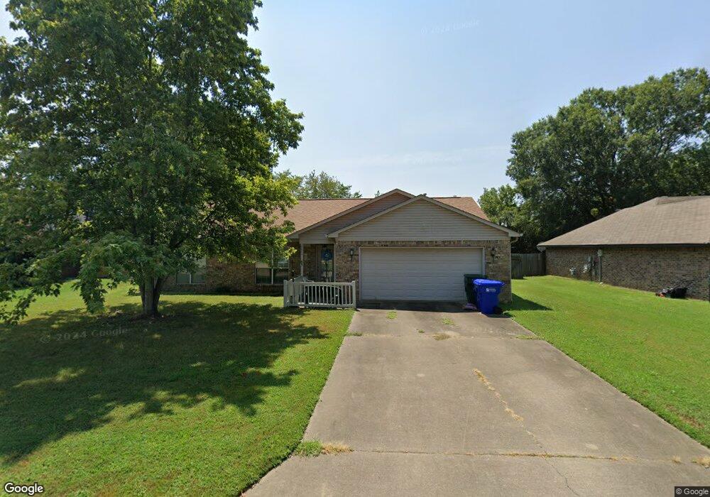
2225 Millwood Dr Conway, AR 72032
Downtown Conway NeighborhoodEstimated Value: $215,910 - $250,000
--
Bed
2
Baths
1,582
Sq Ft
$148/Sq Ft
Est. Value
About This Home
This home is located at 2225 Millwood Dr, Conway, AR 72032 and is currently estimated at $234,478, approximately $148 per square foot. 2225 Millwood Dr is a home located in Faulkner County with nearby schools including Ida Burns Elementary School, Conway Junior High School, and Ruth Doyle Intermediate School.
Ownership History
Date
Name
Owned For
Owner Type
Purchase Details
Closed on
Oct 17, 2018
Sold by
Ford Lisa Faye
Bought by
Faye Lisa
Current Estimated Value
Purchase Details
Closed on
Mar 6, 2018
Sold by
Evans Tommy Melvin
Bought by
Faye Lisa
Purchase Details
Closed on
Jul 15, 2008
Bought by
Lisa Ford
Purchase Details
Closed on
Jun 16, 2008
Sold by
Buchanan Linda
Bought by
Ford Lisa
Purchase Details
Closed on
Jun 12, 1998
Bought by
Sipos
Purchase Details
Closed on
Nov 24, 1997
Bought by
Grissom and Grissom Davis
Purchase Details
Closed on
Mar 15, 1990
Bought by
Donald Cain
Create a Home Valuation Report for This Property
The Home Valuation Report is an in-depth analysis detailing your home's value as well as a comparison with similar homes in the area
Home Values in the Area
Average Home Value in this Area
Purchase History
| Date | Buyer | Sale Price | Title Company |
|---|---|---|---|
| Faye Lisa | -- | None Available | |
| Faye Lisa | -- | None Available | |
| Lisa Ford | $304,000 | -- | |
| Ford Lisa | $304,000 | None Available | |
| Sipos | $100,000 | -- | |
| Grissom | -- | -- | |
| Donald Cain | -- | -- |
Source: Public Records
Tax History Compared to Growth
Tax History
| Year | Tax Paid | Tax Assessment Tax Assessment Total Assessment is a certain percentage of the fair market value that is determined by local assessors to be the total taxable value of land and additions on the property. | Land | Improvement |
|---|---|---|---|---|
| 2024 | $1,507 | $39,990 | $4,000 | $35,990 |
| 2023 | $1,435 | $28,650 | $4,000 | $24,650 |
| 2022 | $998 | $28,650 | $4,000 | $24,650 |
| 2021 | $936 | $28,650 | $4,000 | $24,650 |
| 2020 | $873 | $24,670 | $4,000 | $20,670 |
| 2019 | $873 | $24,670 | $4,000 | $20,670 |
| 2018 | $898 | $24,670 | $4,000 | $20,670 |
| 2017 | $898 | $24,670 | $4,000 | $20,670 |
| 2016 | $898 | $24,670 | $4,000 | $20,670 |
| 2015 | $1,286 | $25,410 | $4,000 | $21,410 |
| 2014 | $936 | $25,410 | $4,000 | $21,410 |
Source: Public Records
Map
Nearby Homes
- 2250 Landover Trail
- 1909 Creekwood Dr
- 2103 Tyler St
- 1906 Hutto St
- 2450 Village Court Dr
- 2209 Lookout Ave
- 2480 Tyler St
- 2140 Remington Rd
- 2350 Krystal Kreek Dr
- 2107 Broadview Ave
- 15 Brierwood Cir
- 27 Brierwood Cir
- 2107 West St
- 2411 Broadview Ave
- 15 Brier Springs Dr
- 2020 Arkansas Ave
- 2020 Arkansas Ave Package Unit 37 & 39 Blair Road G
- 2560 Jayme Cir
- 1839 Tyler St
- 2021 Arkansas Ave
- 2235 Millwood Dr
- 2111 Millwood Dr
- 2001 Capewood Dr
- 2210 Landover Trail
- 2220 Landover Trail
- 2109 Millwood Dr
- 2180 Landover Trail
- 2245 Millwood Dr
- 2170 Landover Trail
- 2230 Landover Trail
- 0 Sprucewood Unit 16029981
- 0 Sprucewood Unit 17036743
- 2003 Capewood Dr
- 2100 Sprucewood Dr
- 2255 Millwood Dr
- 2160 Landover Trail
- 2240 Landover Trail
- 2107 Millwood Dr
- 2002 Capewood Dr
- 2110 Sprucewood Dr