Estimated Value: $161,000 - $191,000
2
Beds
1
Bath
1,116
Sq Ft
$157/Sq Ft
Est. Value
About This Home
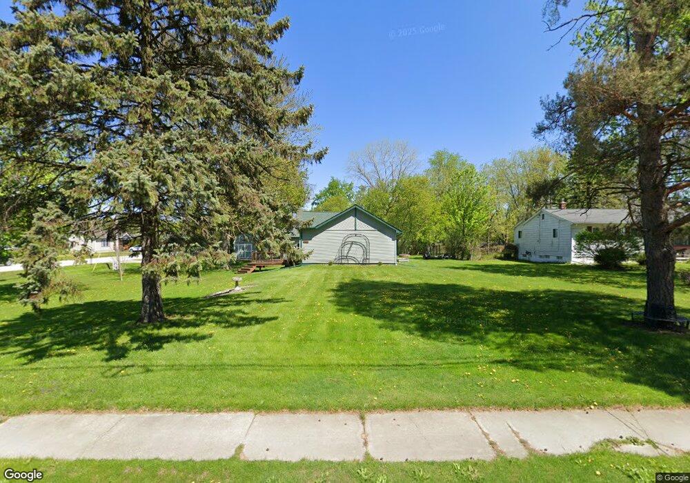
This home is located at 2225 S Dye Rd, Flint, MI 48532 and is currently estimated at $175,191, approximately $156 per square foot. 2225 S Dye Rd is a home located in Genesee County with nearby schools including Carman-Ainsworth High School, Genesee STEM Academy, and First Flint Seventh-day Adventist Christian School.
Ownership History
Date
Name
Owned For
Owner Type
Purchase Details
Closed on
Feb 25, 2026
Sold by
Monroe Mark and Monroe Melissa J
Bought by
Williams Josh
Current Estimated Value
Purchase Details
Closed on
Mar 26, 2014
Sold by
Monroe Melissa J and Monroe Mark A
Bought by
Monroe Mark A and Monroe Melissa J
Home Financials for this Owner
Home Financials are based on the most recent Mortgage that was taken out on this home.
Original Mortgage
$63,000
Interest Rate
4.34%
Mortgage Type
New Conventional
Purchase Details
Closed on
Mar 23, 2007
Sold by
Maness Melissa J and Mckone Lyle L
Bought by
Maness Melissa J
Home Financials for this Owner
Home Financials are based on the most recent Mortgage that was taken out on this home.
Original Mortgage
$73,400
Interest Rate
6.25%
Mortgage Type
New Conventional
Purchase Details
Closed on
Sep 20, 2002
Sold by
Mckone Lyle L
Bought by
Maness Melissa J and Mckone Lyle L
Create a Home Valuation Report for This Property
The Home Valuation Report is an in-depth analysis detailing your home's value as well as a comparison with similar homes in the area
Home Values in the Area
Average Home Value in this Area
Purchase History
We collect this data history from publicly available records. To have your information removed, we recommend requesting removal directly through your county’s website.
| Date | Buyer | Sale Price | Title Company |
|---|---|---|---|
| Williams Josh | $80,000 | Mason Burgess Title | |
| Monroe Mark A | -- | None Available | |
| Maness Melissa J | -- | Andover Title & Escrow Agenc | |
| Maness Melissa J | -- | -- | |
| Mckone Lyle | $63,700 | First American Title |
Source: Public Records
Mortgage History
We collect this data history from publicly available records. To have your information removed, we recommend requesting removal directly through your county’s website.
| Date | Status | Borrower | Loan Amount |
|---|---|---|---|
| Previous Owner | Monroe Mark A | $63,000 | |
| Previous Owner | Maness Melissa J | $73,400 |
Source: Public Records
Tax History
| Year | Tax Paid | Tax Assessment Tax Assessment Total Assessment is a certain percentage of the fair market value that is determined by local assessors to be the total taxable value of land and additions on the property. | Land | Improvement |
|---|---|---|---|---|
| 2025 | $1,839 | $87,200 | $0 | $0 |
| 2024 | $953 | $87,200 | $0 | $0 |
| 2023 | $909 | $69,300 | $0 | $0 |
| 2022 | $816 | $56,400 | $0 | $0 |
| 2021 | $1,659 | $50,200 | $0 | $0 |
| 2020 | $817 | $40,600 | $0 | $0 |
| 2019 | $805 | $40,100 | $0 | $0 |
| 2018 | $1,523 | $36,000 | $0 | $0 |
| 2017 | $1,462 | $36,000 | $0 | $0 |
| 2016 | $1,491 | $35,400 | $0 | $0 |
| 2015 | $1,352 | $35,400 | $0 | $0 |
| 2014 | $802 | $34,000 | $0 | $0 |
| 2012 | -- | $34,600 | $34,600 | $0 |
Source: Public Records
Map
Nearby Homes
- 5200 Elko St
- 5227 Dania St
- 5151 Brobeck St
- 5323 Elmsford Dr
- 2109 Deerfield Dr
- 2442 Valley Oaks Cir Unit 35
- 2356 S Dye Rd
- 2052 S Dye Rd
- 0 Mallison Ave Unit 20261021773
- 2400 Marlene Dr
- 0 S Dye Rd
- 0000 Reuben Reuben St
- 1460 S Dye Rd
- 1455 S Linden Rd
- 1468 Eggleston Ave
- 2520 Nandi Hills Trail
- 4474 Corunna Rd
- 4480 Corunna Rd
- 4490 W Lennon Rd
- 10 Acres T A Mansour Blvd
Your Personal Tour Guide
Ask me questions while you tour the home.