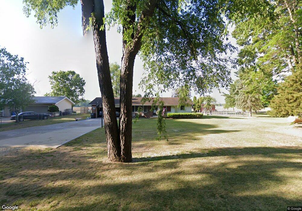
22255 Airline Rd Sturgis, MI 49091
Estimated Value: $192,000 - $260,000
3
Beds
1
Bath
1,206
Sq Ft
$185/Sq Ft
Est. Value
About This Home
This home is located at 22255 Airline Rd, Sturgis, MI 49091 and is currently estimated at $223,640, approximately $185 per square foot. 22255 Airline Rd is a home located in St. Joseph County with nearby schools including Sturgis High School and New Dawn School.
Ownership History
Date
Name
Owned For
Owner Type
Purchase Details
Closed on
Apr 5, 2019
Sold by
Boals Gary W and The Rudolph And Ruth Boals Tru
Bought by
Kleine Matthew
Current Estimated Value
Home Financials for this Owner
Home Financials are based on the most recent Mortgage that was taken out on this home.
Original Mortgage
$123,500
Outstanding Balance
$109,794
Interest Rate
4.87%
Mortgage Type
Adjustable Rate Mortgage/ARM
Estimated Equity
$113,846
Purchase Details
Closed on
Dec 21, 2001
Sold by
Boals Rudolph J and Boals Ruth E
Bought by
Boals Rudolph & Ruth Trust
Create a Home Valuation Report for This Property
The Home Valuation Report is an in-depth analysis detailing your home's value as well as a comparison with similar homes in the area
Home Values in the Area
Average Home Value in this Area
Purchase History
| Date | Buyer | Sale Price | Title Company |
|---|---|---|---|
| Kleine Matthew | $130,000 | None Available | |
| Boals Rudolph & Ruth Trust | -- | -- | |
| Boals Rudolph J | -- | -- |
Source: Public Records
Mortgage History
| Date | Status | Borrower | Loan Amount |
|---|---|---|---|
| Open | Kleine Matthew | $123,500 |
Source: Public Records
Tax History Compared to Growth
Tax History
| Year | Tax Paid | Tax Assessment Tax Assessment Total Assessment is a certain percentage of the fair market value that is determined by local assessors to be the total taxable value of land and additions on the property. | Land | Improvement |
|---|---|---|---|---|
| 2025 | $1,975 | $89,200 | $9,100 | $80,100 |
| 2024 | $686 | $84,200 | $9,100 | $75,100 |
| 2023 | $654 | $74,200 | $9,600 | $64,600 |
| 2022 | $0 | $68,900 | $10,300 | $58,600 |
| 2021 | $1,740 | $60,900 | $9,600 | $51,300 |
| 2020 | $1,719 | $56,500 | $8,800 | $47,700 |
| 2019 | $1,179 | $50,000 | $8,000 | $42,000 |
| 2018 | $1,038 | $47,800 | $8,000 | $39,800 |
| 2017 | $1,044 | $46,600 | $46,600 | $0 |
| 2016 | -- | $45,600 | $45,600 | $0 |
| 2015 | -- | $40,600 | $0 | $0 |
| 2014 | -- | $37,700 | $37,700 | $0 |
| 2012 | -- | $40,700 | $40,700 | $0 |
Source: Public Records
Map
Nearby Homes
- 22025 Airline Rd
- 68534 Hill St
- 68751 Oak St
- 2 Creekside Dr
- 11 Creekside Dr
- 5 Creekside Dr
- 1 Creekside Dr
- 12 Creekside Dr
- 4 Creekside Dr
- 23772 Wilson Rd
- 67850 Crooked Creek Rd
- 20331 Blairs View Dr
- 20189 Dogwood Trail
- VL Crooked Creek Rd
- 65890 Burg Rd
- 0 Crooked Creek Rd
- Parcel D Crooked Creek Rd
- 71108 Aldrich Lake Rd
- 0 Vl Seneca Ct
- VL1 Ottokee Dr
- 22439 Airline Rd
- 22397 Airline Rd
- 22507 Airline Rd
- 22479 Airline Rd
- 22289 Airline Rd
- 22289 Airline Rd
- 22275 Airline Rd
- 22416 Airline Rd
- 22298 Airline Rd
- 22361 Airline Rd
- 22649 Airline Rd
- 22649 Airline Rd
- 22577 Williams Landing Rd
- 22586 Williams Landing Rd
- 22596 Williams Landing Rd
- 22604 Williams Landing Rd
- 22005 Airline Rd
- 22093 Airline Rd
- 22616 Williams Landing Rd
- 22712 Airline Rd