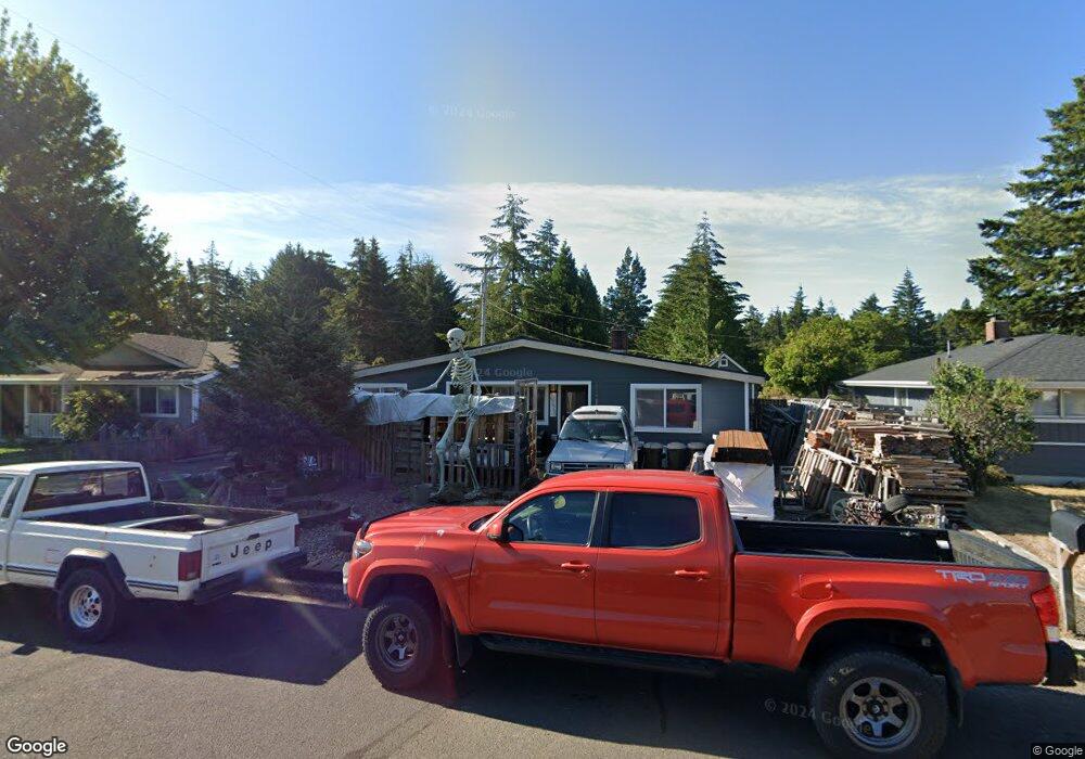
2226 17th St Florence, OR 97439
Estimated Value: $319,000 - $378,000
3
Beds
1
Bath
1,424
Sq Ft
$238/Sq Ft
Est. Value
About This Home
This home is located at 2226 17th St, Florence, OR 97439 and is currently estimated at $339,403, approximately $238 per square foot. 2226 17th St is a home located in Lane County with nearby schools including Siuslaw Elementary School, Siuslaw Middle School, and Siuslaw High School.
Ownership History
Date
Name
Owned For
Owner Type
Purchase Details
Closed on
Dec 28, 2009
Sold by
Haggard Daryl L
Bought by
Haggard Daryl L and Haggard Mary K
Current Estimated Value
Create a Home Valuation Report for This Property
The Home Valuation Report is an in-depth analysis detailing your home's value as well as a comparison with similar homes in the area
Home Values in the Area
Average Home Value in this Area
Purchase History
| Date | Buyer | Sale Price | Title Company |
|---|---|---|---|
| Haggard Daryl L | -- | Cascade Title Co |
Source: Public Records
Tax History Compared to Growth
Tax History
| Year | Tax Paid | Tax Assessment Tax Assessment Total Assessment is a certain percentage of the fair market value that is determined by local assessors to be the total taxable value of land and additions on the property. | Land | Improvement |
|---|---|---|---|---|
| 2025 | $1,811 | $164,265 | -- | -- |
| 2024 | $1,758 | $159,481 | -- | -- |
| 2023 | $1,758 | $154,836 | $0 | $0 |
| 2022 | $1,640 | $150,327 | $0 | $0 |
| 2021 | $1,607 | $145,949 | $0 | $0 |
| 2020 | $1,564 | $141,699 | $0 | $0 |
| 2019 | $1,506 | $137,572 | $0 | $0 |
| 2018 | $1,509 | $129,676 | $0 | $0 |
| 2017 | $1,802 | $129,676 | $0 | $0 |
| 2016 | $1,750 | $125,899 | $0 | $0 |
| 2015 | $1,713 | $122,232 | $0 | $0 |
| 2014 | $1,695 | $118,672 | $0 | $0 |
Source: Public Records
Map
Nearby Homes