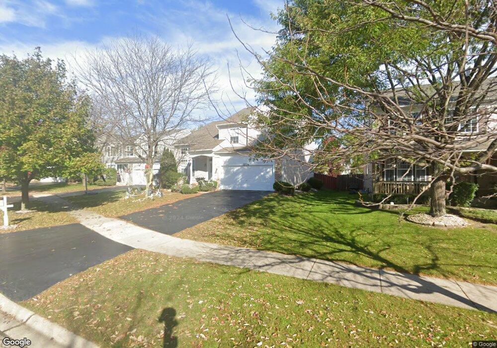
2226 Halsted Ct Aurora, IL 60503
Far Southeast NeighborhoodEstimated Value: $445,000 - $451,796
4
Beds
3
Baths
2,213
Sq Ft
$202/Sq Ft
Est. Value
About This Home
This home is located at 2226 Halsted Ct, Aurora, IL 60503 and is currently estimated at $447,932, approximately $202 per square foot. 2226 Halsted Ct is a home located in Kendall County with nearby schools including The Wheatlands Elementary School, Bednarcik Jr. High School, and Oswego East High School.
Ownership History
Date
Name
Owned For
Owner Type
Purchase Details
Closed on
Dec 31, 1999
Sold by
Goduto Christopher Todd and Pantano Josephine A
Bought by
Goduto Christopher Todd and Goduto Josephine A
Current Estimated Value
Purchase Details
Closed on
Feb 5, 1999
Sold by
Greenfield/Waterbury Llc
Bought by
Goduto Christopher Todd and Pantano Josephine A
Home Financials for this Owner
Home Financials are based on the most recent Mortgage that was taken out on this home.
Original Mortgage
$155,000
Interest Rate
7.1%
Create a Home Valuation Report for This Property
The Home Valuation Report is an in-depth analysis detailing your home's value as well as a comparison with similar homes in the area
Home Values in the Area
Average Home Value in this Area
Purchase History
| Date | Buyer | Sale Price | Title Company |
|---|---|---|---|
| Goduto Christopher Todd | -- | Chicago Title Insurance Co | |
| Goduto Christopher Todd | $194,000 | Ticor Title Insurance |
Source: Public Records
Mortgage History
| Date | Status | Borrower | Loan Amount |
|---|---|---|---|
| Previous Owner | Goduto Christopher Todd | $155,000 |
Source: Public Records
Tax History
| Year | Tax Paid | Tax Assessment Tax Assessment Total Assessment is a certain percentage of the fair market value that is determined by local assessors to be the total taxable value of land and additions on the property. | Land | Improvement |
|---|---|---|---|---|
| 2024 | $10,190 | $120,760 | $25,812 | $94,948 |
| 2023 | $9,726 | $109,781 | $23,465 | $86,316 |
| 2022 | $9,726 | $102,599 | $21,930 | $80,669 |
| 2021 | $9,191 | $94,127 | $20,119 | $74,008 |
| 2020 | $8,718 | $87,969 | $18,803 | $69,166 |
| 2019 | $8,529 | $84,363 | $18,803 | $65,560 |
| 2018 | $8,950 | $87,604 | $19,525 | $68,079 |
| 2017 | $8,797 | $82,645 | $18,420 | $64,225 |
| 2016 | $8,443 | $78,337 | $17,460 | $60,877 |
| 2015 | $8,532 | $73,212 | $16,318 | $56,894 |
| 2014 | -- | $71,080 | $15,843 | $55,237 |
| 2013 | -- | $71,798 | $16,003 | $55,795 |
Source: Public Records
Map
Nearby Homes
- 1966 Congrove Dr
- 1850 Wisteria Dr Unit 343
- 1782 Montrose Dr
- 1703 Baler Ave
- 1734 Baler Ave
- 1737 Stable Ln
- 1722 Baler Ave
- 1721 Stable Ln
- 1691 Baler Ave
- 1697 Baler Ave
- 1728 Baler Ave
- 1716 Baler Ave
- 1709 Baler Ave
- 1975 Misty Ridge Ct Unit 1-1
- 1959 Misty Ridge Ct Unit 15
- 1875 Keating Dr
- 1874 Keating Dr
- 2100 Hammel Ave
- 1871 Keating Dr
- 1868 Keating Dr
- 2218 Halsted Ct
- 2234 Halsted Ct
- 1831 Hobson Ln Unit 2B
- 2242 Halsted Ct
- 2219 Keating Dr Unit 2B
- 2210 Halsted Ct
- 2215 Keating Dr
- 1821 Hobson Ln
- 2211 Keating Dr
- 1811 Hobson Ln
- 2202 Halsted Ct
- 2237 Halsted Ct
- 2207 Keating Dr
- 2245 Halsted Ct
- 2229 Halsted Ct
- 2205 Halsted Ct Unit 2B
- 2253 Halsted Ct
- 2221 Halsted Ct
- 2203 Keating Dr
- 2213 Halsted Ct
Your Personal Tour Guide
Ask me questions while you tour the home.