2226 Merseyside Dr Unit 78 Woodbridge, VA 22191
Stonebridge NeighborhoodEstimated Value: $410,207 - $424,000
2
Beds
3
Baths
1,694
Sq Ft
$247/Sq Ft
Est. Value
About This Home
This home is located at 2226 Merseyside Dr Unit 78, Woodbridge, VA 22191 and is currently estimated at $417,802, approximately $246 per square foot. 2226 Merseyside Dr Unit 78 is a home located in Prince William County with nearby schools including Fannie W. Fitzgerald Elementary School, Rippon Middle School, and Freedom High School.
Ownership History
Date
Name
Owned For
Owner Type
Purchase Details
Closed on
Mar 30, 2011
Sold by
Ledgerwood Norman R and Ledgerwood Karen S
Bought by
Richards Anthony L
Current Estimated Value
Home Financials for this Owner
Home Financials are based on the most recent Mortgage that was taken out on this home.
Original Mortgage
$241,074
Outstanding Balance
$168,173
Interest Rate
5.04%
Mortgage Type
VA
Estimated Equity
$249,629
Purchase Details
Closed on
Jan 28, 2010
Sold by
M/I Homes Of Dc Llc
Bought by
Ledgerwood Norman Roy and Ledgerwood Karen Susanne
Home Financials for this Owner
Home Financials are based on the most recent Mortgage that was taken out on this home.
Original Mortgage
$233,548
Interest Rate
4.87%
Mortgage Type
FHA
Create a Home Valuation Report for This Property
The Home Valuation Report is an in-depth analysis detailing your home's value as well as a comparison with similar homes in the area
Home Values in the Area
Average Home Value in this Area
Purchase History
| Date | Buyer | Sale Price | Title Company |
|---|---|---|---|
| Richards Anthony L | $236,000 | None Available | |
| Ledgerwood Norman Roy | $237,858 | Commonwealth Land Title Insu |
Source: Public Records
Mortgage History
| Date | Status | Borrower | Loan Amount |
|---|---|---|---|
| Open | Richards Anthony L | $241,074 | |
| Previous Owner | Ledgerwood Norman Roy | $233,548 |
Source: Public Records
Tax History Compared to Growth
Tax History
| Year | Tax Paid | Tax Assessment Tax Assessment Total Assessment is a certain percentage of the fair market value that is determined by local assessors to be the total taxable value of land and additions on the property. | Land | Improvement |
|---|---|---|---|---|
| 2025 | $3,500 | $376,600 | $132,000 | $244,600 |
| 2024 | $3,500 | $351,900 | $123,400 | $228,500 |
| 2023 | $3,473 | $333,800 | $116,400 | $217,400 |
| 2022 | $3,654 | $322,700 | $111,900 | $210,800 |
| 2021 | $3,476 | $283,900 | $98,200 | $185,700 |
| 2020 | $4,083 | $263,400 | $90,100 | $173,300 |
| 2019 | $3,949 | $254,800 | $87,500 | $167,300 |
| 2018 | $2,935 | $243,100 | $83,300 | $159,800 |
| 2017 | $2,962 | $239,100 | $81,700 | $157,400 |
| 2016 | $2,884 | $234,900 | $80,100 | $154,800 |
| 2015 | $2,871 | $235,800 | $80,100 | $155,700 |
| 2014 | $2,871 | $228,900 | $77,000 | $151,900 |
Source: Public Records
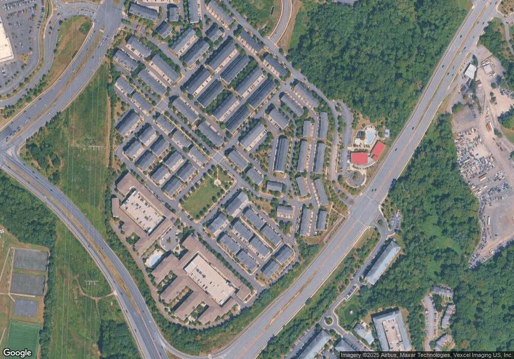
Map
Nearby Homes
- 2331 Kew Gardens Dr
- 2246 Margraf Cir
- 15240 Torbay Way
- 15250 Torbay Way
- 15227 Lancashire Dr Unit 372
- 15177 Lancashire Dr Unit 350
- 2667 Sheffield Hill Way Unit 168
- 2675 Sheffield Hill Way Unit 164
- 2689 Sheffield Hill Way
- 2707 Sheffield Hill Way
- 2488 Eastbourne Dr Unit 313
- 2576 Eastbourne Dr
- 2595 Eastbourne Dr
- 15198 Wentwood Ln
- 15184 Wentwood Ln
- 15324 Gatehouse Terrace
- 14819 Potomac Branch Dr
- 14782 Potomac Branch Dr
- 2400 Brookmoor Ln
- 14762 Potomac Branch Dr
- 2230 Merseyside Dr Unit 80
- 2220 Merseyside Dr Unit 75
- 2220 Merseyside Dr
- 2222 Merseyside Dr Unit 76
- 2228 Merseyside Dr Unit 79
- 2232 Merseyside Dr Unit 81
- 2214 Merseyside Dr
- 2240 Merseyside Dr Unit 83
- 2242 Merseyside Dr Unit 84
- 2212 Merseyside Dr Unit 73
- 2244 Merseyside Dr Unit 85
- 15318 Kensington Park Dr Unit 104
- 15318 Kensington Park Dr
- 2246 Merseyside Dr Unit 86
- 2210 Merseyside Dr
- 2210 Merseyside Dr Unit 72
- 15320 Kensington Park Dr Unit 103
- 2208 Merseyside Dr Unit 71
- 2208 Merseyside Dr
- 15324 Kensington Park Dr Unit 105