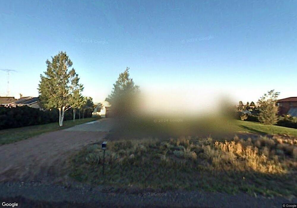
2226 Sky View Ln Laramie, WY 82070
Estimated Value: $480,000 - $566,000
3
Beds
2
Baths
1,692
Sq Ft
$319/Sq Ft
Est. Value
About This Home
This home is located at 2226 Sky View Ln, Laramie, WY 82070 and is currently estimated at $539,510, approximately $318 per square foot. 2226 Sky View Ln is a home located in Albany County with nearby schools including Beitel Elementary School, Laramie Middle School, and Laramie High School.
Ownership History
Date
Name
Owned For
Owner Type
Purchase Details
Closed on
Jul 7, 2020
Sold by
Vanarsdale William O and Vanarsdale Van Arsdale
Bought by
Utton Aaron and Utton Hillary
Current Estimated Value
Home Financials for this Owner
Home Financials are based on the most recent Mortgage that was taken out on this home.
Original Mortgage
$327,750
Outstanding Balance
$291,166
Interest Rate
3.2%
Mortgage Type
New Conventional
Estimated Equity
$248,344
Create a Home Valuation Report for This Property
The Home Valuation Report is an in-depth analysis detailing your home's value as well as a comparison with similar homes in the area
Home Values in the Area
Average Home Value in this Area
Purchase History
| Date | Buyer | Sale Price | Title Company |
|---|---|---|---|
| Utton Aaron | -- | First American Title |
Source: Public Records
Mortgage History
| Date | Status | Borrower | Loan Amount |
|---|---|---|---|
| Open | Utton Aaron | $327,750 |
Source: Public Records
Tax History Compared to Growth
Tax History
| Year | Tax Paid | Tax Assessment Tax Assessment Total Assessment is a certain percentage of the fair market value that is determined by local assessors to be the total taxable value of land and additions on the property. | Land | Improvement |
|---|---|---|---|---|
| 2025 | $3,472 | $33,738 | $5,407 | $28,331 |
| 2024 | $3,472 | $44,361 | $6,932 | $37,429 |
| 2023 | $3,576 | $45,900 | $5,483 | $40,417 |
| 2022 | $2,852 | $36,123 | $5,483 | $30,640 |
| 2021 | $2,568 | $31,937 | $5,483 | $26,454 |
| 2020 | $2,512 | $31,112 | $5,483 | $25,629 |
| 2019 | $2,389 | $29,305 | $5,483 | $23,822 |
| 2018 | $2,262 | $27,977 | $5,483 | $22,494 |
| 2017 | $2,238 | $27,617 | $5,483 | $22,134 |
| 2016 | $2,215 | $27,274 | $5,483 | $21,791 |
| 2015 | $2,083 | $28,802 | $5,483 | $23,319 |
| 2014 | $2,083 | $30,639 | $0 | $0 |
Source: Public Records
Map
Nearby Homes
- TBD Sherman Hill Rd
- 1517 Shetland Dr
- 4609 Meadowlark Ln
- 1501 Arabian Dr
- 4746 E Skyline Dr Unit 31
- 4746 E Skyline Dr Unit 47
- 4500 E Meadowlark Ln Unit A
- 4328 Beech St Unit SR1
- 4328 Beech St Unit 7
- 3210 Evergreen Dr
- 4223 Moraine St
- 4141 Cliff St
- 4031 Cliff St
- 1702 Walsh Ct Unit C
- 1916 Peak Cir
- 4039 Bill Nye Ave
- 4037 Bill Nye Ave
- 429 Bill Nye Ave
- 4033 Bill Nye Ave
- 4029 Bill Nye Ave
- 2242 Sky View Ln
- 2216 Sky View Ln
- 2310 Sky View Ln
- 2206 Sky View Ln
- 2225 Sky View Ln
- 2217 Sky View Ln
- 2225 Rangeview Ln
- 2315 Sky View Ln
- 2326 Sky View Ln
- 2219 Rangeview Ln
- 2205 Sky View Ln
- 2215 Rangeview Ln
- 2315 Rangeview Ln
- 2205 Rangeview Ln
- 5617 Bill Nye Ave
- 2336 Sky View Ln
- 2335 Sky View Ln
- 5629 Bill Nye Ave
- 2216 Rangeview Ln
- 2325 Rangeview Ln