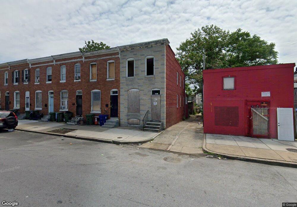
2227 Ashton St Baltimore, MD 21223
Carrollton Ridge NeighborhoodEstimated Value: $94,000 - $154,630
--
Bed
1
Bath
1,260
Sq Ft
$99/Sq Ft
Est. Value
About This Home
This home is located at 2227 Ashton St, Baltimore, MD 21223 and is currently estimated at $124,315, approximately $98 per square foot. 2227 Ashton St is a home located in Baltimore City with nearby schools including Booker T. Washington Middle School, Edmondson Westside High School, and Digital Harbor High School.
Ownership History
Date
Name
Owned For
Owner Type
Purchase Details
Closed on
Jul 18, 2006
Sold by
Lambert Michael D
Bought by
Simmons Craig A and Simmons Bridget M
Current Estimated Value
Home Financials for this Owner
Home Financials are based on the most recent Mortgage that was taken out on this home.
Original Mortgage
$72,000
Outstanding Balance
$51,717
Interest Rate
10.87%
Mortgage Type
Purchase Money Mortgage
Estimated Equity
$72,598
Create a Home Valuation Report for This Property
The Home Valuation Report is an in-depth analysis detailing your home's value as well as a comparison with similar homes in the area
Home Values in the Area
Average Home Value in this Area
Purchase History
| Date | Buyer | Sale Price | Title Company |
|---|---|---|---|
| Simmons Craig A | $72,000 | -- |
Source: Public Records
Mortgage History
| Date | Status | Borrower | Loan Amount |
|---|---|---|---|
| Open | Simmons Craig A | $72,000 |
Source: Public Records
Tax History Compared to Growth
Tax History
| Year | Tax Paid | Tax Assessment Tax Assessment Total Assessment is a certain percentage of the fair market value that is determined by local assessors to be the total taxable value of land and additions on the property. | Land | Improvement |
|---|---|---|---|---|
| 2025 | $277 | $13,400 | -- | -- |
| 2024 | $277 | $11,800 | $0 | $0 |
| 2023 | $241 | $10,200 | $2,000 | $8,200 |
| 2022 | $208 | $8,800 | $0 | $0 |
| 2021 | $175 | $7,400 | $0 | $0 |
| 2020 | $142 | $6,000 | $2,000 | $4,000 |
| 2019 | $117 | $5,000 | $0 | $0 |
| 2018 | $94 | $4,000 | $0 | $0 |
| 2017 | $71 | $3,000 | $0 | $0 |
| 2016 | $711 | $3,000 | $0 | $0 |
| 2015 | $711 | $3,000 | $0 | $0 |
| 2014 | $711 | $30,000 | $0 | $0 |
Source: Public Records
Map
Nearby Homes
- 519 S Bentalou St
- 2228 Christian St
- 480 S Bentalou St
- 439 S Bentalou St
- 478 S Bentalou St
- 454 Furrow St
- 452 Furrow St
- 2227 Christian St
- 550 S Bentalou St
- 510 S Smallwood St
- 2202 Ashton St
- 2230 Wilkens Ave
- 423 Furrow St
- 430 S Bentalou St
- 426 S Smallwood St
- 419 Furrow St
- 527 S Smallwood St
- 411 Furrow St
- 2241 Ramsay St
- 2142 Wilkens Ave
- 2225 Ashton St
- 2223 Ashton St
- 2221 Ashton St
- 505 S Bentalou St
- 507 S Bentalou St
- 503 S Bentalou St
- 2219 Ashton St
- 509 S Bentalou St
- 511 S Bentalou St
- 2217 Ashton St
- 513 S Bentalou St
- 2215 Ashton St
- 515 S Bentalou St
- 517 S Bentalou St
- 2213 Ashton St
- 2230 Christian St
- 2226 Christian St
- 2224 Christian St
- 2211 Ashton St
- 2222 Christian St