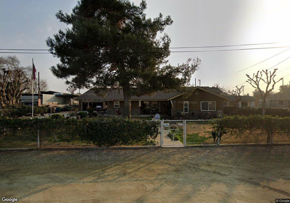
2227 Delbert St Bakersfield, CA 93312
Greenacres NeighborhoodEstimated Value: $435,000 - $595,000
3
Beds
2
Baths
1,847
Sq Ft
$266/Sq Ft
Est. Value
About This Home
This home is located at 2227 Delbert St, Bakersfield, CA 93312 and is currently estimated at $491,101, approximately $265 per square foot. 2227 Delbert St is a home located in Kern County with nearby schools including Columbia Elementary School, Liberty High School, and Country Christian School.
Ownership History
Date
Name
Owned For
Owner Type
Purchase Details
Closed on
Feb 23, 2004
Sold by
Benson David Joel and Benson Darla Diane
Bought by
Benson David Joel and Benson Darla Diane
Current Estimated Value
Home Financials for this Owner
Home Financials are based on the most recent Mortgage that was taken out on this home.
Original Mortgage
$34,376
Interest Rate
5.62%
Purchase Details
Closed on
Apr 25, 2001
Sold by
Benson David J and Benson Darla D
Bought by
Benson David Joel and Benson Darla Diane
Purchase Details
Closed on
Sep 8, 1994
Sold by
Benson David J and Benson Darla D
Bought by
Benson David J and Benson Darla D
Home Financials for this Owner
Home Financials are based on the most recent Mortgage that was taken out on this home.
Original Mortgage
$113,200
Interest Rate
8.57%
Create a Home Valuation Report for This Property
The Home Valuation Report is an in-depth analysis detailing your home's value as well as a comparison with similar homes in the area
Home Values in the Area
Average Home Value in this Area
Purchase History
| Date | Buyer | Sale Price | Title Company |
|---|---|---|---|
| Benson David Joel | -- | Gateway Title Company | |
| Benson David Joel | -- | -- | |
| Benson David Joel | -- | -- | |
| Benson David J | -- | Century Title & Guaranty Co |
Source: Public Records
Mortgage History
| Date | Status | Borrower | Loan Amount |
|---|---|---|---|
| Closed | Benson David Joel | $34,376 | |
| Previous Owner | Benson David J | $113,200 |
Source: Public Records
Tax History
| Year | Tax Paid | Tax Assessment Tax Assessment Total Assessment is a certain percentage of the fair market value that is determined by local assessors to be the total taxable value of land and additions on the property. | Land | Improvement |
|---|---|---|---|---|
| 2025 | $2,989 | $214,335 | $10,150 | $204,185 |
| 2024 | $2,922 | $210,134 | $9,951 | $200,183 |
| 2023 | $2,922 | $206,015 | $9,756 | $196,259 |
| 2022 | $2,844 | $201,978 | $9,565 | $192,413 |
| 2021 | $2,748 | $198,019 | $9,378 | $188,641 |
| 2020 | $2,678 | $195,990 | $9,282 | $186,708 |
| 2019 | $2,649 | $195,990 | $9,282 | $186,708 |
| 2018 | $2,599 | $188,383 | $8,922 | $179,461 |
| 2017 | $2,534 | $184,692 | $8,748 | $175,944 |
| 2016 | $2,364 | $181,073 | $8,577 | $172,496 |
| 2015 | $2,349 | $178,356 | $8,449 | $169,907 |
| 2014 | $2,304 | $174,864 | $8,284 | $166,580 |
Source: Public Records
Map
Nearby Homes
- 9313 Wolf River Ave
- 9131 Rosedale Hwy Unit 65
- 9131 Rosedale Hwy Unit 54
- 9101 Wolf River Ave
- 9010 Wolf River Ave
- 2515 Wheeler St
- 9021 Rosedale Hwy
- 9831 Rosedale Hwy
- 9116 Chattaroy St
- 3015 Neah Bay Dr
- 9323 Alki Ct
- 3015 Calloway Dr Unit D6
- 10404 Enger St
- 10421 Enger St
- 10429 Enger St
- 8519 Hoodsport Ave
- 8806 Rollingbay Dr
- 9309 Foxglen Ct
- 10332 Shellabarger Rd
- 3100 Woodstown St
- 2229 Delbert St
- 2225 Delbert St
- 2300 Delbert St
- 9316 Ribston Ave
- 9409 Greenacres Dr
- 9413 Greenacres Dr
- 9312 Ribston Ave
- 9405 Greenacres Dr
- 9308 Ribston Ave
- 9401 Greenacres Dr
- 9421 Greenacres Dr
- 9304 Ribston Ave
- 2312 Delbert St
- 9425 Greenacres Dr
- 9300 Ribston Ave
- 9429 Greenacres Dr
- 2324 Delbert St
- 9216 Ribston Ave
- 9317 Ribston Ave
- 2330 Hubert St
Your Personal Tour Guide
Ask me questions while you tour the home.