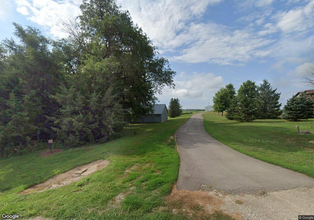
2227 F Rd West Point, NE 68788
Estimated Value: $414,000 - $792,522
2
Beds
3
Baths
2,264
Sq Ft
$266/Sq Ft
Est. Value
About This Home
This home is located at 2227 F Rd, West Point, NE 68788 and is currently estimated at $603,261, approximately $266 per square foot. 2227 F Rd is a home located in Cuming County with nearby schools including West Point-Beemer Junior/Senior High School.
Ownership History
Date
Name
Owned For
Owner Type
Purchase Details
Closed on
Jan 22, 2025
Sold by
James E Neuvirth E and James Carole L
Bought by
Neuvirth James E and Neuvirth Carole L
Current Estimated Value
Create a Home Valuation Report for This Property
The Home Valuation Report is an in-depth analysis detailing your home's value as well as a comparison with similar homes in the area
Home Values in the Area
Average Home Value in this Area
Purchase History
| Date | Buyer | Sale Price | Title Company |
|---|---|---|---|
| Neuvirth James E | -- | None Listed On Document |
Source: Public Records
Tax History Compared to Growth
Tax History
| Year | Tax Paid | Tax Assessment Tax Assessment Total Assessment is a certain percentage of the fair market value that is determined by local assessors to be the total taxable value of land and additions on the property. | Land | Improvement |
|---|---|---|---|---|
| 2025 | $4,036 | $720,170 | $46,255 | $673,915 |
| 2024 | $4,036 | $663,055 | $44,980 | $618,075 |
| 2023 | $5,760 | $634,885 | $41,645 | $593,240 |
| 2022 | $5,331 | $537,340 | $29,310 | $508,030 |
| 2021 | $4,486 | $447,175 | $29,595 | $417,580 |
| 2020 | $3,825 | $386,795 | $31,825 | $354,970 |
| 2019 | $3,349 | $331,325 | $31,825 | $299,500 |
| 2018 | $3,333 | $333,825 | $34,325 | $299,500 |
| 2017 | $3,610 | $349,960 | $26,640 | $323,320 |
| 2016 | $3,457 | $323,110 | $26,275 | $296,835 |
| 2015 | $2,774 | $237,880 | $24,255 | $213,625 |
| 2014 | $4,018 | $374,605 | $364,970 | $9,635 |
| 2013 | $4,018 | $293,145 | $256,910 | $36,235 |
Source: Public Records
Map
Nearby Homes
- 2416 F Rd
- 1225 Co Road 1
- 2235 K Rd
- 1045 E Grove St
- 126 E Grove St
- 749 E Grove St
- 420 S Farragut St
- 626 S Monitor St
- 519 S Niphon St
- 1402 E Bridge St
- 205 E Sheridan St
- 208 N Lincoln St
- 301 W Pine St
- 101 S Main St
- 402 W Pine St
- 1207 N Main St
- TBD Oakland
- 328 N Oakland Ave
- 108 N Thomas Ave
- 206 N Thomas Ave
