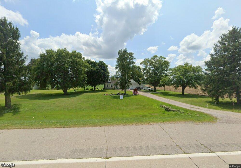
2227 Peet Rd New Lothrop, MI 48460
Estimated Value: $244,000 - $265,000
--
Bed
--
Bath
1,596
Sq Ft
$158/Sq Ft
Est. Value
About This Home
This home is located at 2227 Peet Rd, New Lothrop, MI 48460 and is currently estimated at $252,528, approximately $158 per square foot. 2227 Peet Rd is a home located in Saginaw County with nearby schools including New Lothrop Elementary School and New Lothrop High School.
Ownership History
Date
Name
Owned For
Owner Type
Purchase Details
Closed on
Nov 20, 2024
Sold by
Taylor Scott M and Taylor Sylvia A
Bought by
Morse Taylor and Morse Lyndsi
Current Estimated Value
Home Financials for this Owner
Home Financials are based on the most recent Mortgage that was taken out on this home.
Original Mortgage
$221,350
Outstanding Balance
$219,228
Interest Rate
6.32%
Mortgage Type
New Conventional
Estimated Equity
$33,300
Purchase Details
Closed on
Jul 20, 2011
Sold by
Raleigh Norton Sandra Kay
Bought by
Taylor Scott M and Taylor Sylvia A
Home Financials for this Owner
Home Financials are based on the most recent Mortgage that was taken out on this home.
Original Mortgage
$51,200
Interest Rate
4.52%
Mortgage Type
Purchase Money Mortgage
Create a Home Valuation Report for This Property
The Home Valuation Report is an in-depth analysis detailing your home's value as well as a comparison with similar homes in the area
Home Values in the Area
Average Home Value in this Area
Purchase History
| Date | Buyer | Sale Price | Title Company |
|---|---|---|---|
| Morse Taylor | $233,000 | Ata National Title Group | |
| Taylor Scott M | $64,000 | -- |
Source: Public Records
Mortgage History
| Date | Status | Borrower | Loan Amount |
|---|---|---|---|
| Open | Morse Taylor | $221,350 | |
| Previous Owner | Taylor Scott M | $51,200 |
Source: Public Records
Tax History Compared to Growth
Tax History
| Year | Tax Paid | Tax Assessment Tax Assessment Total Assessment is a certain percentage of the fair market value that is determined by local assessors to be the total taxable value of land and additions on the property. | Land | Improvement |
|---|---|---|---|---|
| 2025 | $3,437 | $124,600 | $0 | $0 |
| 2024 | $887 | $115,600 | $0 | $0 |
| 2023 | $844 | $102,800 | $0 | $0 |
| 2022 | $2,949 | $91,700 | $0 | $0 |
| 2021 | $2,750 | $85,900 | $0 | $0 |
| 2020 | $2,714 | $79,400 | $0 | $0 |
| 2019 | $2,593 | $72,300 | $5,000 | $67,300 |
| 2018 | $736 | $70,300 | $0 | $0 |
| 2017 | $2,232 | $68,500 | $0 | $0 |
| 2016 | $2,218 | $66,600 | $0 | $0 |
| 2014 | -- | $66,800 | $0 | $60,000 |
| 2013 | -- | $66,800 | $0 | $0 |
Source: Public Records
Map
Nearby Homes
- 12350 Sheridan Rd
- 11435 Duffield Rd
- 11348 Duffield Rd
- 14389 East Rd
- 14108 Sheridan Rd
- 9197 Sheridan Rd
- 11141 Farrand Rd
- 157 N Genesee St
- 187 S Saginaw St
- 124 Eastman St
- 11038 Farrand Rd
- 000 E Oak St
- 10456 Nichols Rd
- 9157 Duffield Rd
- 12403 Willard Rd
- 8366 Byron Rd
- 258 E State St
- 214 Nanita Dr
- 14478 Duffield Rd
- 12105 Seymour Rd