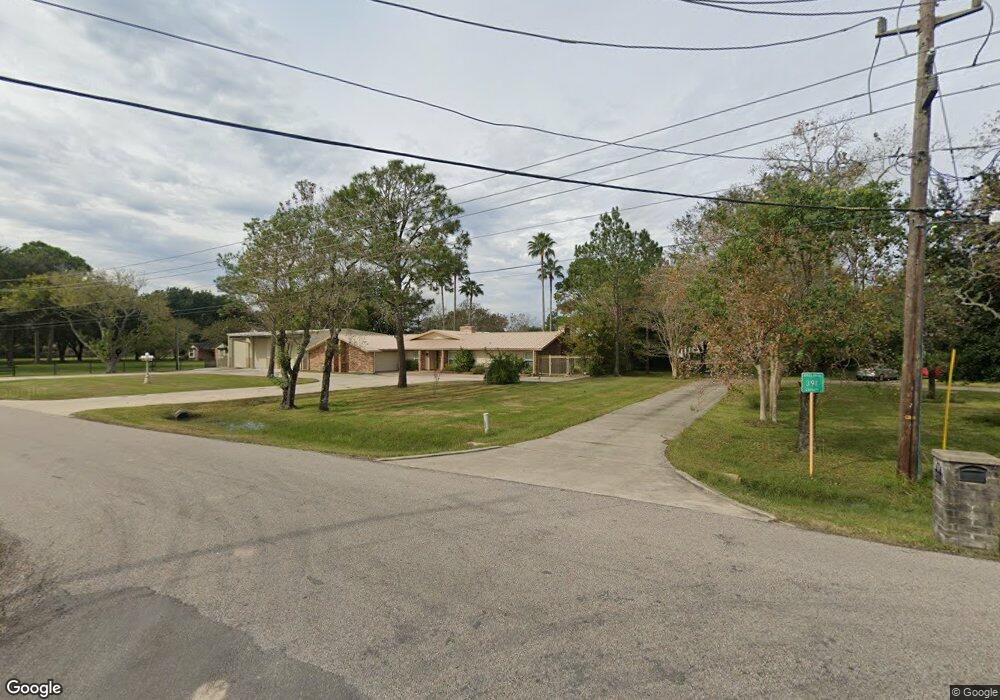
2227 Stevenson Rd Unit 391 Pearland, TX 77581
West Friendswood NeighborhoodEstimated Value: $446,350 - $790,000
4
Beds
3
Baths
2,625
Sq Ft
$218/Sq Ft
Est. Value
About This Home
This home is located at 2227 Stevenson Rd Unit 391, Pearland, TX 77581 and is currently estimated at $573,338, approximately $218 per square foot. 2227 Stevenson Rd Unit 391 is a home located in Brazoria County with nearby schools including Rustic Oak Elementary School, Alexander Middle School, and Pearland Junior High School East.
Ownership History
Date
Name
Owned For
Owner Type
Purchase Details
Closed on
Feb 17, 2012
Sold by
Krupovnickas Tadas
Bought by
Morecraft Fred H and Morecraft Rebecca R
Current Estimated Value
Home Financials for this Owner
Home Financials are based on the most recent Mortgage that was taken out on this home.
Original Mortgage
$202,350
Outstanding Balance
$139,029
Interest Rate
3.95%
Mortgage Type
New Conventional
Estimated Equity
$434,309
Create a Home Valuation Report for This Property
The Home Valuation Report is an in-depth analysis detailing your home's value as well as a comparison with similar homes in the area
Home Values in the Area
Average Home Value in this Area
Purchase History
| Date | Buyer | Sale Price | Title Company |
|---|---|---|---|
| Morecraft Fred H | -- | Stewart Title |
Source: Public Records
Mortgage History
| Date | Status | Borrower | Loan Amount |
|---|---|---|---|
| Open | Morecraft Fred H | $202,350 |
Source: Public Records
Tax History Compared to Growth
Tax History
| Year | Tax Paid | Tax Assessment Tax Assessment Total Assessment is a certain percentage of the fair market value that is determined by local assessors to be the total taxable value of land and additions on the property. | Land | Improvement |
|---|---|---|---|---|
| 2025 | $2,770 | $442,451 | $113,670 | $430,360 |
| 2023 | $2,770 | $365,662 | $103,110 | $400,930 |
| 2022 | $6,256 | $332,420 | $103,110 | $286,370 |
| 2021 | $5,913 | $302,200 | $89,370 | $212,830 |
| 2020 | $5,741 | $293,400 | $82,490 | $210,910 |
| 2019 | $5,725 | $287,740 | $82,490 | $205,250 |
| 2018 | $5,760 | $287,740 | $89,370 | $198,370 |
| 2017 | $5,754 | $285,000 | $96,240 | $188,760 |
| 2016 | $5,401 | $267,530 | $64,160 | $203,370 |
| 2014 | $3,974 | $215,940 | $45,830 | $170,110 |
Source: Public Records
Map
Nearby Homes
- 0 Cr 124 Unit 13541782
- 1540 Hastings Friendswood Rd
- 1605 Gatecreek Dr
- 3521 Dixie Farm Rd
- 158 Mooney Rd
- 17810 County Road 125
- 153 Mooney Rd
- 1809 Oakland Cir
- 1813 Oak Wood Dr E
- 17903 County Road 125
- 3902 Oak Wood Dr N
- 101 Westfield Ln
- 1811 Oakbrook Cir
- 1804 Oakbranch Dr
- 1814 Oak Cluster Cir
- 1605 Crown Oaks Ct
- 1621 Pine Crest Dr
- 1510 Pine Creek Dr
- 1108 Chesterwood Dr
- 1917 Oak Shire Dr
- 2215 Stevenson Rd Unit 391
- 2231 County Road 391
- 17106 County Road 125
- 2218 Stevenson Rd Unit 391
- 2303 County Road 391
- 17106 Stevenson Rd Cr 125
- 2114 County Road 391
- 2117 County Road 391
- 17112 County Road 125
- 2215 County Road 391
- 17210 County Road 125
- 2323 Stevenson Rd Unit 391
- 2001 County Road 391
- 2102 County Road 391
- 17115 County Road 125
- 2410 County Road 391
- 2327 County Road 391
- 2323 County Road 391
- 17220 County Road 125
- 2222 Buckholt St