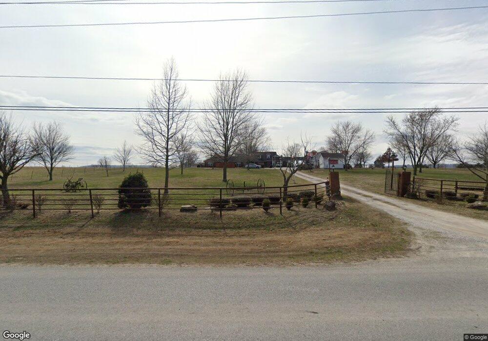
22275 E Monitor Rd Springdale, AR 72764
Estimated Value: $649,000 - $951,000
--
Bed
3
Baths
5,063
Sq Ft
$156/Sq Ft
Est. Value
About This Home
This home is located at 22275 E Monitor Rd, Springdale, AR 72764 and is currently estimated at $787,793, approximately $155 per square foot. 22275 E Monitor Rd is a home located in Washington County with nearby schools including Monitor Elementary School, Sonora Middle School, and Lakeside Junior High School.
Ownership History
Date
Name
Owned For
Owner Type
Purchase Details
Closed on
Nov 13, 2014
Sold by
Mayo Carolyn J
Bought by
Mayo Carolyn J
Current Estimated Value
Purchase Details
Closed on
Feb 18, 2010
Sold by
Shaffer Richard and Shaffer Joan
Bought by
Shaffer Richard W and Shaffer Joan E
Purchase Details
Closed on
Oct 3, 2003
Sold by
Mayo Carolyn Jo and Lafferty Jennifer L
Bought by
Smith Nicholas S and Smith Jennifer L
Home Financials for this Owner
Home Financials are based on the most recent Mortgage that was taken out on this home.
Original Mortgage
$80,500
Interest Rate
6.25%
Mortgage Type
Purchase Money Mortgage
Purchase Details
Closed on
Jun 2, 1992
Bought by
Lafferty Jennifer L and Lafferty Mayo,
Create a Home Valuation Report for This Property
The Home Valuation Report is an in-depth analysis detailing your home's value as well as a comparison with similar homes in the area
Home Values in the Area
Average Home Value in this Area
Purchase History
| Date | Buyer | Sale Price | Title Company |
|---|---|---|---|
| Mayo Carolyn J | -- | None Available | |
| Shaffer Richard W | -- | None Available | |
| Smith Nicholas S | -- | -- | |
| Lafferty Jennifer L | -- | -- |
Source: Public Records
Mortgage History
| Date | Status | Borrower | Loan Amount |
|---|---|---|---|
| Closed | Smith Nicholas S | $80,500 |
Source: Public Records
Tax History Compared to Growth
Tax History
| Year | Tax Paid | Tax Assessment Tax Assessment Total Assessment is a certain percentage of the fair market value that is determined by local assessors to be the total taxable value of land and additions on the property. | Land | Improvement |
|---|---|---|---|---|
| 2025 | $2,682 | $157,400 | $22,770 | $134,630 |
| 2024 | $2,782 | $157,400 | $22,770 | $134,630 |
| 2023 | $2,921 | $157,400 | $22,770 | $134,630 |
| 2022 | $3,011 | $94,630 | $13,850 | $80,780 |
| 2021 | $2,898 | $92,220 | $13,850 | $78,370 |
| 2020 | $2,898 | $92,220 | $13,850 | $78,370 |
| 2019 | $2,836 | $67,460 | $11,230 | $56,230 |
| 2018 | $2,861 | $67,460 | $11,230 | $56,230 |
| 2017 | $2,787 | $67,460 | $11,230 | $56,230 |
| 2016 | $3,017 | $71,540 | $11,230 | $60,310 |
| 2015 | $3,017 | $71,540 | $11,230 | $60,310 |
| 2014 | $2,987 | $70,910 | $11,230 | $59,680 |
Source: Public Records
Map
Nearby Homes
- 1.98 Ac E Monitor (Wc91) Rd
- 0 N Parsons Rd Unit 22391840
- 0 Monitor Rd Unit 1301451
- 21927-21889 N County Road 91
- 0 Tract A E Monitor Rd
- 4908 Elnora Ln
- 5000 Elnora Ln
- 4900 Elnora Ln
- 3108 Hattie Ln
- 3104 Hattie Ln
- 3001 Hattie Ln
- 3008 Hattie Ln
- 3100 Hattie Ln
- 2901 Hattie Ln
- 3017 Hattie Ln
- 2.57 Ac E Monitor Rd
- 4908 Elnora Ln
- 3980 Luper Rd
- 4886-4856 Parsons Rd
- 3545 E Monitor Rd
- 22216 E Monitor Rd
- 22234 E Monitor Rd
- 22372 E Monitor Rd
- 22061 E Scott Hollow Rd
- 22437 E Scott Hollow Rd
- 22043 E Scott Hollow Rd
- 21995 E Scott Hollow Rd
- 22431 E Scott Hollow Rd
- 21999 E Scott Hollow Rd
- 22382 E Monitor Rd
- 22451 E Monitor Rd
- 22200 E Monitor Rd
- 22208 E Monitor Rd
- Tract D E Monitor (Wc91) Rd
- 22443 E Scott Hollow Rd
- 00 E Scott Hollow Rd
- Tract C E Monitor (Wc91) Rd
- Tract B E Monitor (Wc91) Rd
- Tract A E Monitor (Wc91) Rd
- 22170 Gravity Rd