22284 Avenue Port Charlotte, FL 33952
Estimated Value: $232,000 - $252,162
2
Beds
2
Baths
1,237
Sq Ft
$197/Sq Ft
Est. Value
About This Home
This home is located at 22284 Avenue, Port Charlotte, FL 33952 and is currently estimated at $243,791, approximately $197 per square foot. 22284 Avenue is a home located in Charlotte County with nearby schools including Neil Armstrong Elementary School, Port Charlotte Middle School, and Port Charlotte High School.
Ownership History
Date
Name
Owned For
Owner Type
Purchase Details
Closed on
Oct 9, 2010
Sold by
Ramage Virginia
Bought by
Jarocki Janusz and Jarocki Alina
Current Estimated Value
Purchase Details
Closed on
Jun 23, 2010
Sold by
Ramage Robert and Ramage Virginia
Bought by
Ramage Virginia A and Feltman Virginia
Purchase Details
Closed on
Mar 16, 1998
Sold by
Ebert Robert George
Bought by
Ramage Robert and Ramage Virginia
Home Financials for this Owner
Home Financials are based on the most recent Mortgage that was taken out on this home.
Original Mortgage
$45,000
Interest Rate
6.99%
Create a Home Valuation Report for This Property
The Home Valuation Report is an in-depth analysis detailing your home's value as well as a comparison with similar homes in the area
Home Values in the Area
Average Home Value in this Area
Purchase History
| Date | Buyer | Sale Price | Title Company |
|---|---|---|---|
| Jarocki Janusz | $90,000 | Florida Abstract & Security | |
| Ramage Virginia A | -- | Attorney | |
| Ramage Robert | $73,000 | -- |
Source: Public Records
Mortgage History
| Date | Status | Borrower | Loan Amount |
|---|---|---|---|
| Previous Owner | Ramage Robert | $45,000 |
Source: Public Records
Tax History Compared to Growth
Tax History
| Year | Tax Paid | Tax Assessment Tax Assessment Total Assessment is a certain percentage of the fair market value that is determined by local assessors to be the total taxable value of land and additions on the property. | Land | Improvement |
|---|---|---|---|---|
| 2023 | $1,157 | $78,058 | $0 | $0 |
| 2022 | $1,098 | $75,784 | $0 | $0 |
| 2021 | $1,248 | $73,577 | $0 | $0 |
| 2020 | $1,215 | $72,561 | $0 | $0 |
| 2019 | $1,150 | $70,930 | $0 | $0 |
| 2018 | $1,055 | $69,607 | $0 | $0 |
| 2017 | $1,050 | $68,175 | $0 | $0 |
| 2016 | $1,049 | $66,773 | $0 | $0 |
| 2015 | $1,034 | $66,309 | $0 | $0 |
| 2014 | $1,015 | $65,783 | $0 | $0 |
Source: Public Records
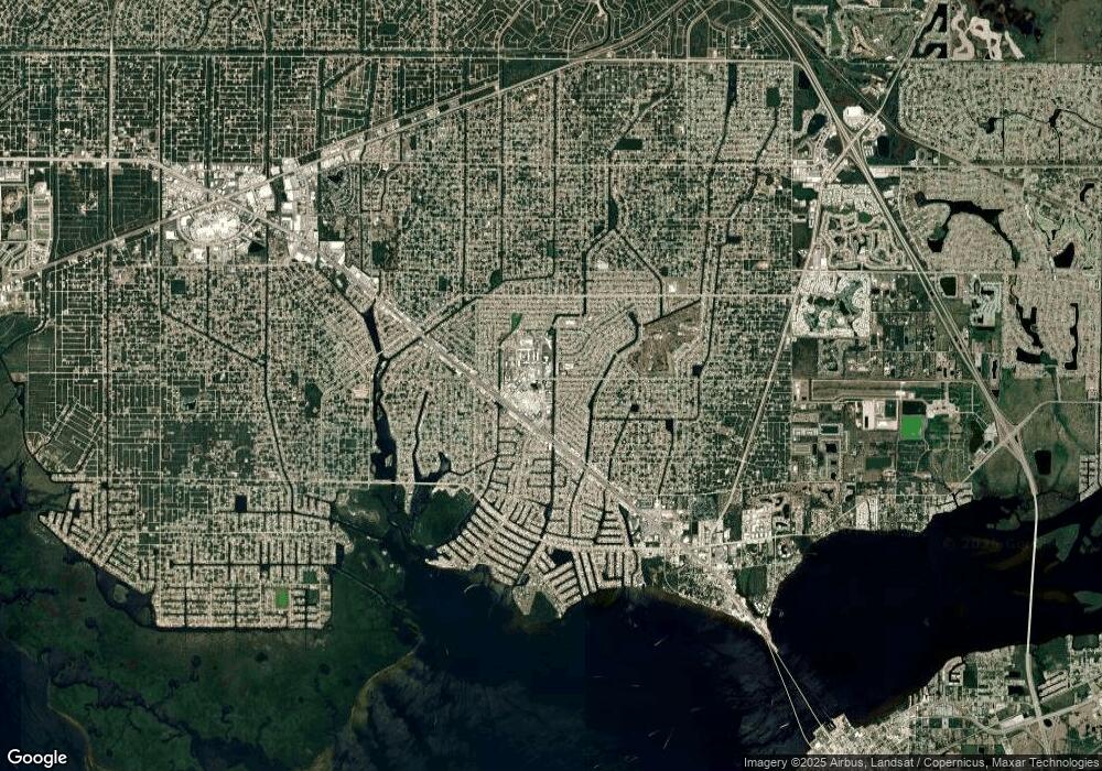
Map
Nearby Homes
- 22307 Alcorn Ave
- 1388 Karin Terrace
- 1369 Karin Terrace
- 1382 Alton Rd
- 1420 Hayworth Rd
- 1374 Alton Rd
- 1396 Hayworth Rd
- 1365 Alton Rd
- 22438 Blanchard Ave
- 1491 Monte St
- 22416 Laika Ave
- 1534 Paxton Terrace
- 1483 Paxton Terrace
- 1246 Ramsdel St
- 1190 Ramsdel St
- 1304 Alton Rd
- 1512 Upshaw Terrace
- 1488 Upshaw Terrace
- 22406 Morocco Ave
- 1267 Stamford St
- 22284 Alcorn Ave
- 22276 Alcorn Ave
- 22292 Alcorn Ave
- 22277 Blanchard Ave
- 22293 Blanchard Ave
- 22266 Alcorn Ave
- 22300 Alcorn Ave
- 22317 Alcorn Ave
- 22265 Blanchard Ave
- 22301 Blanchard Ave
- 1145 Alton Rd
- 1339 Alton Rd
- 1581 Alton Rd
- 22326 Laika Ave
- 1387 Karin Terrace
- 1445 Alton Rd
- 1437 Alton Rd
- 1453 Alton Rd
- 22337 Alcorn Ave
- 22319 Blanchard Ave