22285 320th St Jamesport, MO 64648
Estimated Value: $120,000 - $300,000
Studio
--
Bath
2,387
Sq Ft
$91/Sq Ft
Est. Value
About This Home
This home is located at 22285 320th St, Jamesport, MO 64648 and is currently estimated at $216,667, approximately $90 per square foot. 22285 320th St is a home with nearby schools including Tri-County Elementary School, Tri-County High School, and Oak Grove.
Ownership History
Date
Name
Owned For
Owner Type
Purchase Details
Closed on
Dec 2, 2020
Sold by
Beechy Raymond J and Beechy Mary J
Bought by
Ropp Merle P and Ropp Leona E
Current Estimated Value
Home Financials for this Owner
Home Financials are based on the most recent Mortgage that was taken out on this home.
Original Mortgage
$158,000
Outstanding Balance
$44,900
Interest Rate
2.8%
Mortgage Type
New Conventional
Estimated Equity
$171,767
Purchase Details
Closed on
Dec 30, 2013
Sold by
Ropp Tobie C and Ropp Cora
Bought by
Ropp Merle and Ropp Leona
Purchase Details
Closed on
Sep 23, 2005
Sold by
Ropp Tobie C and Ropp Cora
Bought by
Ropp Tobie C and Ropp Cora
Create a Home Valuation Report for This Property
The Home Valuation Report is an in-depth analysis detailing your home's value as well as a comparison with similar homes in the area
Purchase History
| Date | Buyer | Sale Price | Title Company |
|---|---|---|---|
| Ropp Merle P | -- | Grand River Title | |
| Ropp Merle | -- | -- | |
| Ropp Tobie C | -- | -- |
Source: Public Records
Mortgage History
| Date | Status | Borrower | Loan Amount |
|---|---|---|---|
| Open | Ropp Merle P | $158,000 |
Source: Public Records
Tax History
| Year | Tax Paid | Tax Assessment Tax Assessment Total Assessment is a certain percentage of the fair market value that is determined by local assessors to be the total taxable value of land and additions on the property. | Land | Improvement |
|---|---|---|---|---|
| 2025 | $1,068 | $16,038 | $3,270 | $12,768 |
| 2024 | $997 | $14,969 | $2,890 | $12,079 |
| 2023 | $1,017 | $14,969 | $2,890 | $12,079 |
| 2022 | $1,017 | $14,969 | $2,890 | $12,079 |
| 2021 | $972 | $14,969 | $2,890 | $12,079 |
| 2020 | $1,007 | $14,969 | $2,890 | $12,079 |
| 2019 | $983 | $14,969 | $2,890 | $12,079 |
| 2018 | $983 | $15,088 | $2,970 | $12,118 |
| 2017 | $947 | $15,088 | $2,970 | $12,118 |
| 2016 | -- | $15,088 | $2,970 | $12,118 |
| 2011 | -- | $28,699 | $0 | $0 |
Source: Public Records
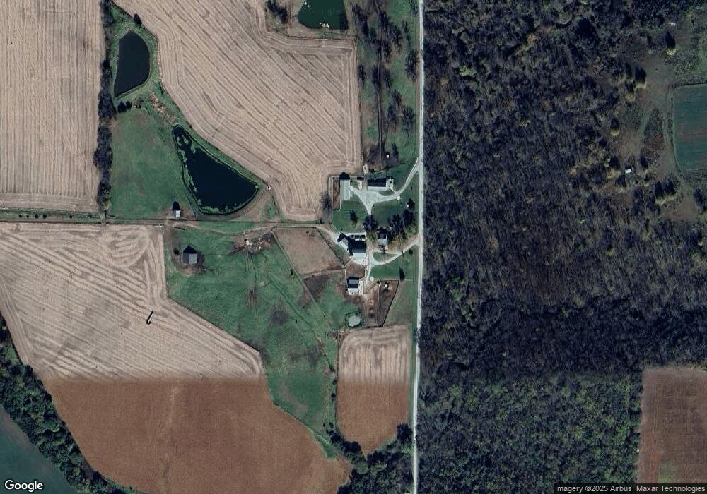
Map
Nearby Homes
- 704 S Broadway N A
- 110 Kentucky
- 204 W Charles St
- 106 E Main St
- TBD State Road V
- 24001 Nickel Ave
- TBD State Highway V
- 0 Quartz and Elm St Unit HMS2584347
- 0 E Nickel Ave Unit HMS2607013
- 22681 Missouri 13
- 8518 LIV 503
- 24984 P Hwy
- 0 250th St
- 502 E Corrine St
- 111 N Franklin St
- 507 E Mill St
- TBD Hwy Dd Hwy
- 18401 240th St
- 407 E Richardson St
- 205 E Van Buren St
- 22255 320th St
- 407 Lock Springs Vine St
- 32073 Major Ave
- 22645 320th St
- 22122 State Highway 190
- 21847 320th St
- 32027 Major Ave
- 32033 Major Ave
- 21776 State Highway 190
- 21910 State Highway 190
- 22117 State Highway 190
- 1020 LIV 570 N A
- 100 W Gillian St
- 32541 Major Ave
- 21573 State Highway 190
- 21573 Missouri 190
- 31298 Major Ave
- 31907 Nickel Ave
- 21546 State Highway 190
- 110 S Broadway St
Your Personal Tour Guide
Ask me questions while you tour the home.