2229 Smart Rd Ostrander, OH 43061
Scioto NeighborhoodEstimated Value: $360,000 - $424,714
5
Beds
2
Baths
1,782
Sq Ft
$219/Sq Ft
Est. Value
About This Home
This home is located at 2229 Smart Rd, Ostrander, OH 43061 and is currently estimated at $390,429, approximately $219 per square foot. 2229 Smart Rd is a home located in Delaware County with nearby schools including Buckeye Valley High School.
Ownership History
Date
Name
Owned For
Owner Type
Purchase Details
Closed on
Jan 12, 2021
Sold by
Vining Tami D and Smart Vining Tami
Bought by
Vining Tami D and Vining William Neil
Current Estimated Value
Purchase Details
Closed on
Jan 29, 2020
Sold by
Vining Tami D and Vining William Neil
Bought by
Vining Tami D
Purchase Details
Closed on
Jun 12, 1986
Bought by
Vining William Neil Tami Diane
Create a Home Valuation Report for This Property
The Home Valuation Report is an in-depth analysis detailing your home's value as well as a comparison with similar homes in the area
Home Values in the Area
Average Home Value in this Area
Purchase History
| Date | Buyer | Sale Price | Title Company |
|---|---|---|---|
| Vining Tami D | -- | None Available | |
| Vining Tami D | -- | None Available | |
| Vining William Neil Tami Diane | $19,500 | -- |
Source: Public Records
Tax History
| Year | Tax Paid | Tax Assessment Tax Assessment Total Assessment is a certain percentage of the fair market value that is determined by local assessors to be the total taxable value of land and additions on the property. | Land | Improvement |
|---|---|---|---|---|
| 2024 | $3,645 | $110,960 | $30,210 | $80,750 |
| 2023 | $3,645 | $110,960 | $30,210 | $80,750 |
| 2022 | $2,589 | $77,530 | $21,210 | $56,320 |
| 2021 | $2,519 | $77,530 | $21,210 | $56,320 |
| 2020 | $2,534 | $77,530 | $21,210 | $56,320 |
| 2019 | $2,437 | $66,610 | $16,310 | $50,300 |
| 2018 | $2,482 | $66,610 | $16,310 | $50,300 |
| 2017 | $2,288 | $64,090 | $13,720 | $50,370 |
| 2016 | $2,290 | $64,090 | $13,720 | $50,370 |
| 2015 | $2,418 | $64,090 | $13,720 | $50,370 |
| 2014 | $2,272 | $64,090 | $13,720 | $50,370 |
| 2013 | $2,279 | $62,620 | $13,720 | $48,900 |
Source: Public Records
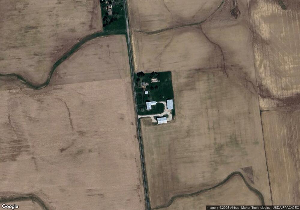
Map
Nearby Homes
- 231 Bluegrass Way
- 535 Brayshaw Dr
- 311 Ben Curtis Dr
- 3480 Ostrander Rd
- 0 Carr Rd Unit 225016840
- 0 E High St Unit Tract 1 225034753
- 0 E High St Unit Tract 4 225034758
- 0 E High St Unit Tract 3 225034757
- 101 S Main St
- 0 Ohio 257 Unit Lot 2
- 0 Ohio 257 Unit Lot 1
- 0 Burnt Pond Rd Unit Tract 2
- 0 Burnt Pond Rd Unit Tract 4
- 0 Burnt Pond Rd Unit Tract 3
- 0 Burnt Pond Rd Unit Tract 5
- 0 Dean Rd Unit 225032132
- 0 Dean Rd Unit 225032131
- 6685 State Route 37 W
- 10156 Marysville Rd
- 0 Delaware County Line Rd
- 0 Smart Rd Unit Tract 9 218001774
- 0 Smart Rd Unit Tract 9 219044705
- 0 Smart Rd Unit Tract 8B 219044704
- 0 Smart Rd Unit 10A 218029747
- 0 Smart Rd Unit Tract 8A 218035309
- 0 Smart Rd Unit Tract 8C 218035500
- 0 Smart Rd Unit Tract 10C 218035508
- 0 Smart Rd Unit Tract 10B 218035506
- 0 Smart Rd Unit Tract 8B 218035463
- 0 Smart Rd Unit Tract 8B 219001066
- 0 Smart Rd Unit Tract 10C 219001144
- 0 Smart Rd Unit Tract 10B 219001142
- 0 Smart Rd Unit 10A 219001141
- 0 Smart Rd Unit Tract 9
- 2108 Smart Rd
- 2550 Smart Rd
- 7251 Fontanelle Rd
- 0 S Us Rt 42 S Unit 216042394
- 0 S Us Rt 42 S Unit 216042395
- 0 Brindle Rd Tract 27 Rd Unit 218019378
Your Personal Tour Guide
Ask me questions while you tour the home.