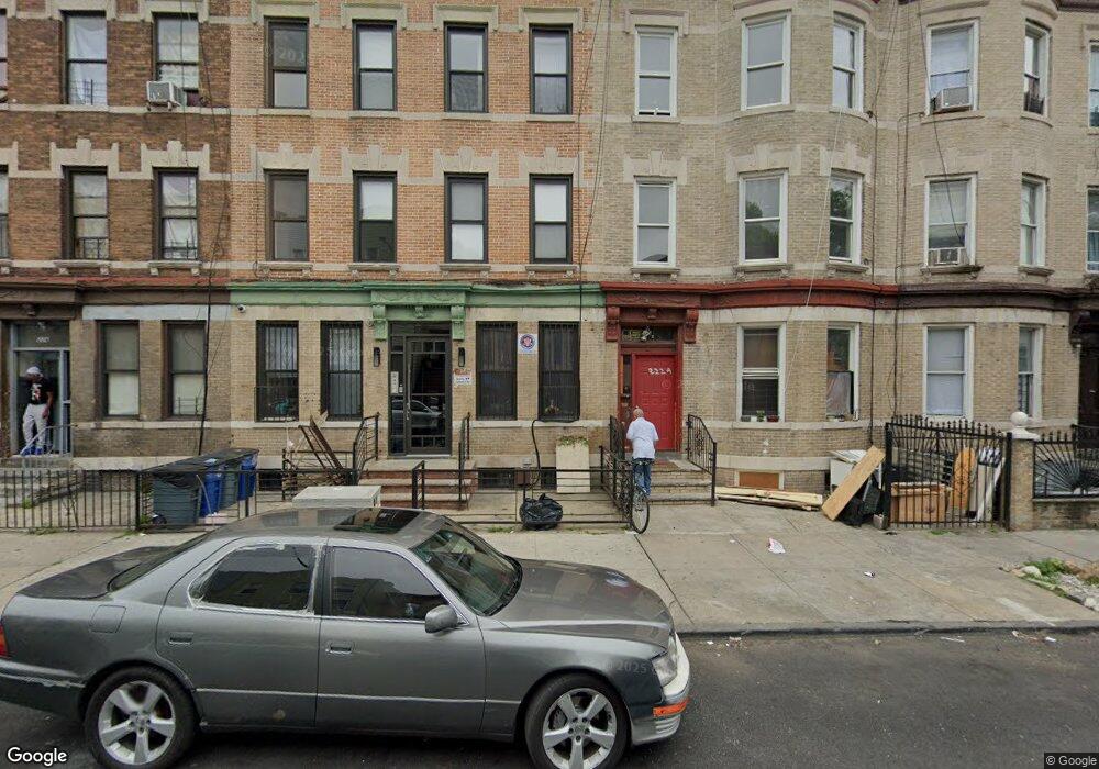
222A Schaefer St Brooklyn, NY 11207
Bushwick NeighborhoodEstimated Value: $915,167 - $1,660,000
6
Beds
2
Baths
2,200
Sq Ft
$627/Sq Ft
Est. Value
About This Home
This home is located at 222A Schaefer St, Brooklyn, NY 11207 and is currently estimated at $1,380,042, approximately $627 per square foot. 222A Schaefer St is a home located in Kings County with nearby schools including P.S. /I.S. 384 Frances E. Carter, Evergreen Middle School for Urban Exploration, and Bushwick Ascend Lower School.
Ownership History
Date
Name
Owned For
Owner Type
Purchase Details
Closed on
Aug 23, 2023
Sold by
Gelfand Jacob N
Bought by
Nationstar Mortgage Llc
Current Estimated Value
Purchase Details
Closed on
Jun 24, 2005
Sold by
Monroig Torres Iris
Bought by
Frias Diandra
Home Financials for this Owner
Home Financials are based on the most recent Mortgage that was taken out on this home.
Original Mortgage
$328,000
Interest Rate
5.71%
Mortgage Type
Purchase Money Mortgage
Create a Home Valuation Report for This Property
The Home Valuation Report is an in-depth analysis detailing your home's value as well as a comparison with similar homes in the area
Home Values in the Area
Average Home Value in this Area
Purchase History
| Date | Buyer | Sale Price | Title Company |
|---|---|---|---|
| Nationstar Mortgage Llc | $1,594,650 | -- | |
| Nationstar Mortgage Llc | $1,594,650 | -- | |
| Frias Diandra | $410,000 | -- | |
| Frias Diandra | $410,000 | -- |
Source: Public Records
Mortgage History
| Date | Status | Borrower | Loan Amount |
|---|---|---|---|
| Previous Owner | Frias Diandra | $328,000 |
Source: Public Records
Tax History
| Year | Tax Paid | Tax Assessment Tax Assessment Total Assessment is a certain percentage of the fair market value that is determined by local assessors to be the total taxable value of land and additions on the property. | Land | Improvement |
|---|---|---|---|---|
| 2025 | $2,129 | $93,900 | $10,560 | $83,340 |
| 2024 | $2,129 | $74,160 | $10,560 | $63,600 |
| 2023 | $2,037 | $79,860 | $10,560 | $69,300 |
| 2022 | $2,003 | $80,220 | $10,560 | $69,660 |
| 2021 | $2,084 | $75,120 | $10,560 | $64,560 |
| 2020 | $1,083 | $56,340 | $10,560 | $45,780 |
| 2019 | $1,848 | $56,340 | $10,560 | $45,780 |
| 2018 | $1,704 | $8,359 | $1,967 | $6,392 |
| 2017 | $1,704 | $8,359 | $1,610 | $6,749 |
| 2016 | $1,650 | $8,252 | $2,023 | $6,229 |
| 2015 | $731 | $7,786 | $2,096 | $5,690 |
| 2014 | $731 | $7,363 | $2,379 | $4,984 |
Source: Public Records
Map
Nearby Homes
- 854 Knickerbocker Ave
- 235 Covert St
- 831 Knickerbocker Ave Unit 2C
- 831 Knickerbocker Ave Unit 3B
- 831 Knickerbocker Ave Unit 4C
- 831 Knickerbocker Ave Unit 2A
- 831 Knickerbocker Ave Unit 2B
- 237 Cooper St
- 891 Knickerbocker Ave
- 900 Knickerbocker Ave Unit 3B
- 295 Schaefer St
- 1219 Decatur St
- 1226 Decatur St Unit 1A
- 1226 Decatur St Unit 3B
- 1226 Decatur St Unit 2A
- 189 Cooper St Unit 3C
- 189 Cooper St Unit 4B
- 189 Cooper St Unit 2A
- 172 Schaefer St
- 1198 Decatur St
- 222 Schaefer St
- 220 Schaefer St
- 224 Schaefer St
- 224 Schaefer St Unit 1L
- 224 Schaefer St Unit 1R
- 224 Schaefer St Unit 2R
- 224 Schaefer St Unit 2L
- 224 Schaefer St Unit 3R
- 224 Schaefer St Unit 3L
- 228 Schaefer St Unit 2
- 228 Schaefer St Unit 6
- 214 Schaefer St
- 214 Schaefer St Unit 6
- 1265 Decatur St Unit 3R
- 1265 Decatur St Unit 3L
- 1265 Decatur St Unit 2R
- 1265 Decatur St Unit 2L
- 1265 Decatur St Unit 1R
- 1265 Decatur St Unit 1L
- 1265 Decatur St
Your Personal Tour Guide
Ask me questions while you tour the home.