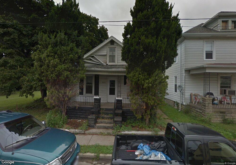
223 Center St Sandusky, OH 44870
Estimated Value: $104,480 - $125,000
2
Beds
1
Bath
1,512
Sq Ft
$77/Sq Ft
Est. Value
About This Home
This home is located at 223 Center St, Sandusky, OH 44870 and is currently estimated at $117,120, approximately $77 per square foot. 223 Center St is a home located in Erie County with nearby schools including Sandusky High School, Monroe Preparatory Academy, and Sandusky Central Catholic School.
Ownership History
Date
Name
Owned For
Owner Type
Purchase Details
Closed on
Sep 21, 2022
Sold by
Jones Jeremy D
Bought by
Jones Angela M
Current Estimated Value
Purchase Details
Closed on
Mar 4, 2019
Sold by
Jones Angela M and Jones Jeremy D
Bought by
Jones Jeremy D
Purchase Details
Closed on
Apr 2, 2018
Sold by
Jones Jeremy D and Jones Angela M
Bought by
Jones Angela M
Purchase Details
Closed on
Jun 22, 2017
Sold by
Aaron Deanna L and Ferrell Pamela
Bought by
Jones Jeremy D
Purchase Details
Closed on
Dec 11, 1997
Sold by
Michel Darren
Bought by
Cunningham Deanna
Create a Home Valuation Report for This Property
The Home Valuation Report is an in-depth analysis detailing your home's value as well as a comparison with similar homes in the area
Home Values in the Area
Average Home Value in this Area
Purchase History
| Date | Buyer | Sale Price | Title Company |
|---|---|---|---|
| Jones Angela M | -- | -- | |
| Jones Jeremy D | -- | None Available | |
| Jones Angela M | -- | None Available | |
| Jones Jeremy D | $15,000 | None Available | |
| Cunningham Deanna | $50,000 | -- |
Source: Public Records
Tax History Compared to Growth
Tax History
| Year | Tax Paid | Tax Assessment Tax Assessment Total Assessment is a certain percentage of the fair market value that is determined by local assessors to be the total taxable value of land and additions on the property. | Land | Improvement |
|---|---|---|---|---|
| 2024 | $967 | $23,383 | $2,310 | $21,073 |
| 2023 | $921 | $18,774 | $1,848 | $16,926 |
| 2022 | $929 | $18,774 | $1,848 | $16,926 |
| 2021 | $938 | $18,780 | $1,850 | $16,930 |
| 2020 | $876 | $16,120 | $1,850 | $14,270 |
| 2019 | $901 | $16,120 | $1,850 | $14,270 |
| 2018 | $902 | $16,120 | $1,850 | $14,270 |
| 2017 | $917 | $15,960 | $1,990 | $13,970 |
| 2016 | $895 | $15,960 | $1,990 | $13,970 |
| 2015 | $848 | $15,960 | $1,990 | $13,970 |
| 2014 | $803 | $15,960 | $1,990 | $13,970 |
| 2013 | $795 | $15,960 | $1,990 | $13,970 |
Source: Public Records
Map
Nearby Homes
- 817 Hayes Ave
- 801 Hayes Ave
- 823 Decatur St
- 831 Decatur St
- 1031 Columbus Ave
- 1035 Campbell St
- 205 W Madison St
- 221 Reese St
- 919 Hancock St
- 0 Milan Rd Unit 3997231
- 0 Milan Rd Unit 3805445
- 0 Milan Rd Unit 20182198
- 221 Scott St
- 427 Jackson St
- 404 Reese St
- 516 Franklin St
- 621 Mcdonough St
- 514 Franklin St
- 0 Brown
- 717 W Osborne St