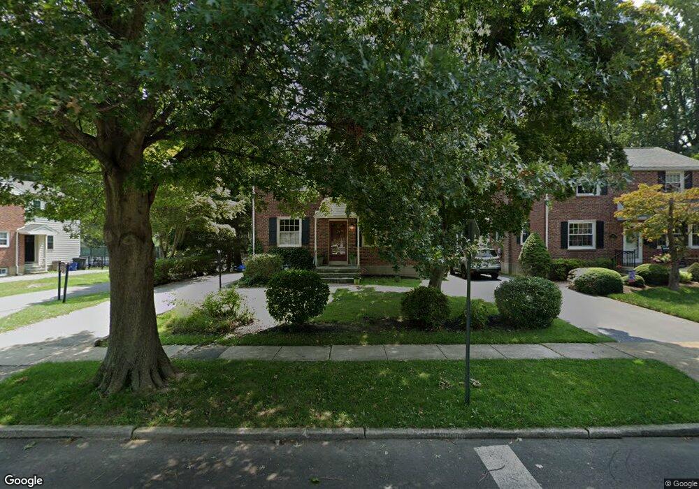
223 Colfax Rd Havertown, PA 19083
Estimated Value: $532,000 - $633,000
3
Beds
2
Baths
1,672
Sq Ft
$351/Sq Ft
Est. Value
About This Home
This home is located at 223 Colfax Rd, Havertown, PA 19083 and is currently estimated at $586,807, approximately $350 per square foot. 223 Colfax Rd is a home located in Delaware County with nearby schools including Coopertown Elementary School, Haverford Middle School, and Haverford Senior High School.
Ownership History
Date
Name
Owned For
Owner Type
Purchase Details
Closed on
Jun 24, 2022
Sold by
Wlotko and Leslie
Bought by
Wlotko Leslie
Current Estimated Value
Home Financials for this Owner
Home Financials are based on the most recent Mortgage that was taken out on this home.
Original Mortgage
$381,562
Outstanding Balance
$362,515
Interest Rate
5.1%
Mortgage Type
FHA
Estimated Equity
$224,292
Purchase Details
Closed on
May 11, 2010
Sold by
Mccall James D and Mccall Margaret
Bought by
Wlotko Robert and Wlotko Leslie
Home Financials for this Owner
Home Financials are based on the most recent Mortgage that was taken out on this home.
Original Mortgage
$333,740
Interest Rate
5.25%
Mortgage Type
FHA
Create a Home Valuation Report for This Property
The Home Valuation Report is an in-depth analysis detailing your home's value as well as a comparison with similar homes in the area
Home Values in the Area
Average Home Value in this Area
Purchase History
| Date | Buyer | Sale Price | Title Company |
|---|---|---|---|
| Wlotko Leslie | -- | Bc Law Firm Pa | |
| Wlotko Robert | $339,900 | None Available |
Source: Public Records
Mortgage History
| Date | Status | Borrower | Loan Amount |
|---|---|---|---|
| Open | Wlotko Leslie | $381,562 | |
| Previous Owner | Wlotko Robert | $333,740 |
Source: Public Records
Tax History Compared to Growth
Tax History
| Year | Tax Paid | Tax Assessment Tax Assessment Total Assessment is a certain percentage of the fair market value that is determined by local assessors to be the total taxable value of land and additions on the property. | Land | Improvement |
|---|---|---|---|---|
| 2025 | $7,497 | $291,590 | $92,020 | $199,570 |
| 2024 | $7,497 | $291,590 | $92,020 | $199,570 |
| 2023 | $7,285 | $291,590 | $92,020 | $199,570 |
| 2022 | $7,114 | $291,590 | $92,020 | $199,570 |
| 2021 | $11,590 | $291,590 | $92,020 | $199,570 |
| 2020 | $7,060 | $151,900 | $50,890 | $101,010 |
| 2019 | $6,930 | $151,900 | $50,890 | $101,010 |
| 2018 | $6,811 | $151,900 | $0 | $0 |
| 2017 | $6,667 | $151,900 | $0 | $0 |
| 2016 | $834 | $151,900 | $0 | $0 |
| 2015 | $834 | $151,900 | $0 | $0 |
| 2014 | $834 | $151,900 | $0 | $0 |
Source: Public Records
Map
Nearby Homes
- 1447 Lawrence Rd
- 2616 Prescott Rd
- 201 Golf Hills Rd
- 212 Golf Hills Rd
- 2424 Delchester Ave
- 101 Rockland Rd
- 2300 Oakmont Ave
- 41 W Hillcrest Ave
- 1321 Annabella Ave
- 25 Oak Ln
- 1741 Lawrence Rd
- 345 Ellis Rd
- 1702 Melrose Ave
- 1510 Ashton Rd
- 45 Garlor Dr
- 333 Golf Hills Rd
- 1442 Dorchester Rd
- 2110 Bellemead Ave
- 32 E Benedict Ave
- 1747 W Chester Pike Unit 41
- 301 Colfax Rd
- 303 Colfax Rd
- 219 Colfax Rd
- 217 Colfax Rd
- 305 Colfax Rd
- 2600 Ashwood Dr
- 215 Colfax Rd
- 2601 Ashwood Dr
- 2604 Ashwood Dr
- 301 Merrybrook Dr
- 305 Merrybrook Dr
- 213 Colfax Rd
- 309 Merrybrook Dr
- 2605 Ashwood Dr
- 253 Merrybrook Dr
- 2608 Ashwood Dr
- 2609 Ashwood Dr
- 211 Colfax Rd
- 245 Merrybrook Dr
- 2600 Wendy Rd