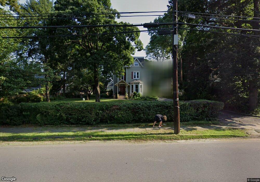
223 Conant St Hillside, NJ 07205
Westminster NeighborhoodEstimated Value: $622,000 - $800,000
Studio
--
Bath
2,626
Sq Ft
$262/Sq Ft
Est. Value
About This Home
This home is located at 223 Conant St, Hillside, NJ 07205 and is currently estimated at $689,263, approximately $262 per square foot. 223 Conant St is a home located in Union County with nearby schools including Abram P. Morris-Saybrook Elementary School, Hurden Looker School, and Ola Edwards Community School.
Ownership History
Date
Name
Owned For
Owner Type
Purchase Details
Closed on
Sep 27, 2002
Sold by
Anderson Margaret
Bought by
Liberal Marco and Liberal Lyucia
Current Estimated Value
Home Financials for this Owner
Home Financials are based on the most recent Mortgage that was taken out on this home.
Original Mortgage
$320,000
Outstanding Balance
$132,402
Interest Rate
6.24%
Estimated Equity
$556,861
Create a Home Valuation Report for This Property
The Home Valuation Report is an in-depth analysis detailing your home's value as well as a comparison with similar homes in the area
Home Values in the Area
Average Home Value in this Area
Purchase History
| Date | Buyer | Sale Price | Title Company |
|---|---|---|---|
| Liberal Marco | $400,000 | -- |
Source: Public Records
Mortgage History
| Date | Status | Borrower | Loan Amount |
|---|---|---|---|
| Open | Liberal Marco | $320,000 |
Source: Public Records
Tax History
| Year | Tax Paid | Tax Assessment Tax Assessment Total Assessment is a certain percentage of the fair market value that is determined by local assessors to be the total taxable value of land and additions on the property. | Land | Improvement |
|---|---|---|---|---|
| 2025 | $18,379 | $222,700 | $146,300 | $76,400 |
| 2024 | $17,845 | $222,700 | $146,300 | $76,400 |
| 2023 | $17,845 | $222,700 | $146,300 | $76,400 |
| 2022 | $17,680 | $222,700 | $146,300 | $76,400 |
| 2021 | $17,564 | $222,700 | $146,300 | $76,400 |
| 2020 | $17,462 | $222,700 | $146,300 | $76,400 |
| 2019 | $17,123 | $222,700 | $146,300 | $76,400 |
| 2018 | $16,952 | $222,700 | $146,300 | $76,400 |
| 2017 | $16,849 | $222,700 | $146,300 | $76,400 |
| 2016 | $16,829 | $222,700 | $146,300 | $76,400 |
| 2015 | $16,680 | $222,700 | $146,300 | $76,400 |
| 2014 | $16,417 | $222,700 | $146,300 | $76,400 |
Source: Public Records
Map
Nearby Homes
- 1018 John Glenn Dr
- 1038 Fairview Place
- 161 Virginia St
- 345 Sanford Ave
- 124 Woodruff Place
- 420 Hollywood Ave
- 137 Fairbanks St
- 1200 Salem Ave
- 1204 Salem Ave
- 128 Baltimore Ave
- 149 Baltimore Ave
- 1229 Robert St
- 71 Georgian Ct
- 1250 N Broad St Unit A1
- 130 Valley View Rd
- 1408 Lexington Place Unit 1410
- 222 Boston Ave
- 600 Plymouth Rd
- 1379 Garfield Place
- 730 Salem Ave
- 1007 Prospect St
- 1013 Prospect St Unit 1015
- 1013 Prospect St Unit 4
- 215 Conant St
- 1013-1015 Prospect St Unit 4
- 1003 Prospect St
- 1017 Prospect St
- 1021 Prospect St
- 222 Linwood Place
- 207 Conant St
- 218 Linwood Place
- 241 Conant St
- 216 Conant St
- 206 Conant St
- 214 Linwood Place
- 1025 Prospect St
- 980 Revere Dr
- 243 Conant St
- 1010 Prospect St
- 1014 Prospect St
Your Personal Tour Guide
Ask me questions while you tour the home.