223 Cooper Dr Cascade, MT 59421
Estimated Value: $744,000 - $1,153,398
4
Beds
3
Baths
2,562
Sq Ft
$345/Sq Ft
Est. Value
About This Home
This home is located at 223 Cooper Dr, Cascade, MT 59421 and is currently estimated at $884,133, approximately $345 per square foot. 223 Cooper Dr is a home located in Cascade County with nearby schools including Cascade School, Cascade Junior High School, and Cascade High School.
Ownership History
Date
Name
Owned For
Owner Type
Purchase Details
Closed on
Nov 17, 2020
Sold by
Mooney Patricia L
Bought by
Lewis Victor A and Jamruszka Lewis Amy
Current Estimated Value
Home Financials for this Owner
Home Financials are based on the most recent Mortgage that was taken out on this home.
Original Mortgage
$367,200
Outstanding Balance
$326,756
Interest Rate
2.8%
Mortgage Type
New Conventional
Estimated Equity
$557,377
Purchase Details
Closed on
May 31, 2016
Sold by
Woods Sue Ann
Bought by
Lewis John
Purchase Details
Closed on
May 24, 2011
Sold by
Brady Patricia
Bought by
Woods Sue Ann and Weidner Maxwell Frank
Create a Home Valuation Report for This Property
The Home Valuation Report is an in-depth analysis detailing your home's value as well as a comparison with similar homes in the area
Purchase History
| Date | Buyer | Sale Price | Title Company |
|---|---|---|---|
| Lewis Victor A | -- | Chicago Title | |
| Lewis John | -- | Stewart Title | |
| Woods Sue Ann | -- | Stewart Title | |
| Woods Sue Ann | -- | Ctic |
Source: Public Records
Mortgage History
| Date | Status | Borrower | Loan Amount |
|---|---|---|---|
| Open | Lewis Victor A | $367,200 |
Source: Public Records
Tax History
| Year | Tax Paid | Tax Assessment Tax Assessment Total Assessment is a certain percentage of the fair market value that is determined by local assessors to be the total taxable value of land and additions on the property. | Land | Improvement |
|---|---|---|---|---|
| 2025 | $4,480 | $818,035 | $0 | $0 |
| 2024 | $4,138 | $597,428 | $0 | $0 |
| 2023 | $3,096 | $441,608 | $0 | $0 |
| 2022 | $2,529 | $316,015 | $0 | $0 |
| 2021 | $2,335 | $316,015 | $0 | $0 |
| 2020 | $1,508 | $263,367 | $0 | $0 |
| 2019 | $1,907 | $263,367 | $0 | $0 |
| 2018 | $1,754 | $239,876 | $0 | $0 |
| 2017 | $2,154 | $239,876 | $0 | $0 |
| 2016 | $2,289 | $233,079 | $0 | $0 |
| 2015 | $1,912 | $233,079 | $0 | $0 |
| 2014 | $1,991 | $116,039 | $0 | $0 |
Source: Public Records
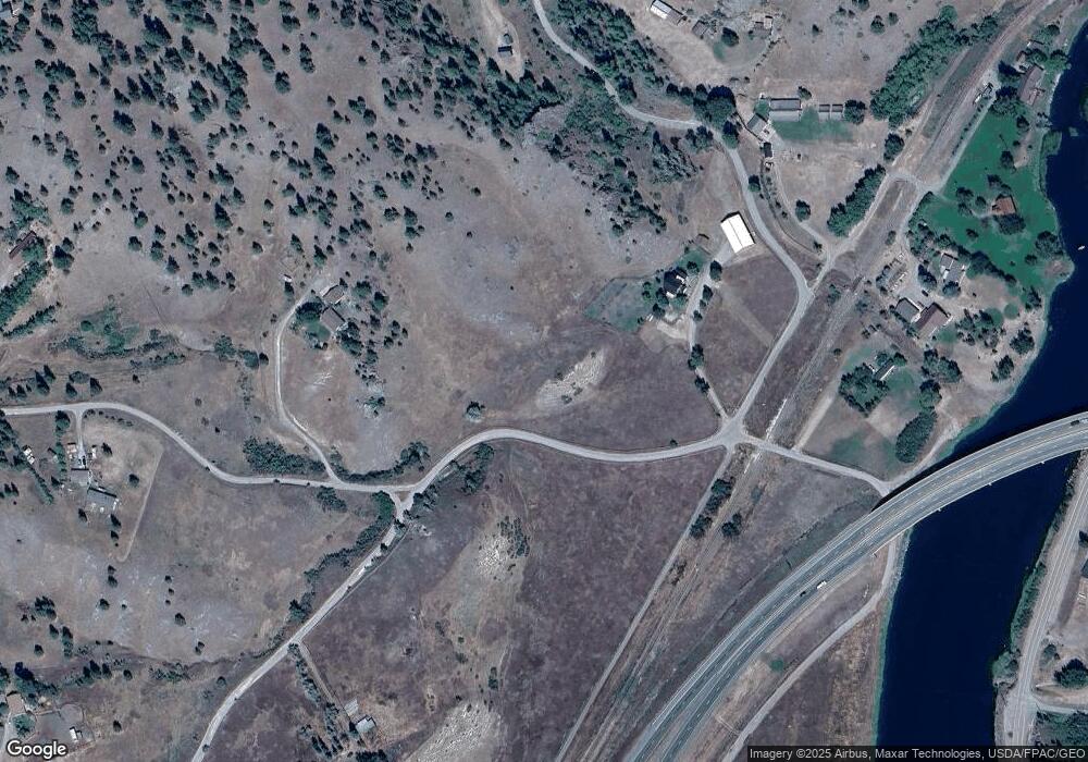
Map
Nearby Homes
- 2973 Old Us Highway 91
- 256 Cooper Dr
- 23 River Dr
- 29 River Dr
- 153 Cooper Dr
- 50 Missouri Overlook Dr
- Lot 003 Pioneer Trail Ln Unit Lot 003
- lot 002 Pioneer Trail Ln
- Lot 1 Block 3 Pioneer Trail Ln
- 7 Meadow Ln
- NHN Big Pine Ln
- TBD Novak Creek Ln
- 24 Golden Eagle Dr
- 64 Bluebird Dr
- 0 Novak Creek Ln
- 0 Novak Creek Ln Unit 353229
- Nhn Sugarloaf Mountain Ln
- 20 Eagle Rock Ln
- Tbd Mountain Home Ln
- 0 Mountain Home Ln Unit 16921312
- 223 Cooper Dr
- 8 N Cooper Ln
- 27 Cooper Dr
- 9 Andy Creek Ln
- 22 N Cooper Ln
- 11 Upper Andy Creek Ln
- 26 Cooper No Ln
- 20 Andy Creek Rd
- 20 Andy Creek Ln
- 20 Andy Creek Ln
- 20 Andy Creek Ln
- 30 N Cooper Ln
- 0 High Noon Ln
- 3 Big Pine Ln
- 2964 Old Us Highway 91
- 2958 Old Us Highway 91
- 2960 Old Us Highway 91
- 18 N Cooper Ln
- 41 Upper Andy Creek Ln
- 32 Andy Creek Ln
Your Personal Tour Guide
Ask me questions while you tour the home.