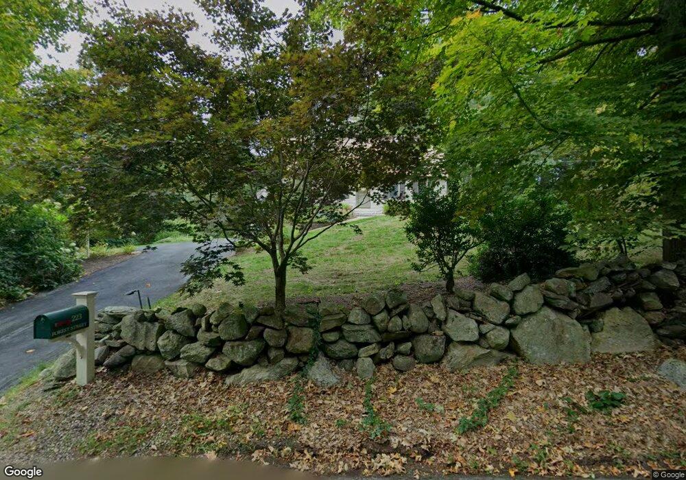
223 Forest St Dunstable, MA 01827
Estimated Value: $646,836 - $737,000
3
Beds
2
Baths
1,685
Sq Ft
$409/Sq Ft
Est. Value
About This Home
This home is located at 223 Forest St, Dunstable, MA 01827 and is currently estimated at $689,959, approximately $409 per square foot. 223 Forest St is a home located in Middlesex County with nearby schools including Groton Dunstable Regional High School, World Academy, and Academy of Notre Dame - Upper School.
Ownership History
Date
Name
Owned For
Owner Type
Purchase Details
Closed on
Jun 18, 2021
Sold by
Boyle Thomas J and Boyle Rosemary K
Bought by
Boyle Family 2021 Irt
Current Estimated Value
Purchase Details
Closed on
Jan 1, 1980
Bought by
Boyle Thomas and Boyle Rosemary
Create a Home Valuation Report for This Property
The Home Valuation Report is an in-depth analysis detailing your home's value as well as a comparison with similar homes in the area
Home Values in the Area
Average Home Value in this Area
Purchase History
| Date | Buyer | Sale Price | Title Company |
|---|---|---|---|
| Boyle Family 2021 Irt | -- | None Available | |
| Boyle Thomas | $62,000 | -- |
Source: Public Records
Mortgage History
| Date | Status | Borrower | Loan Amount |
|---|---|---|---|
| Previous Owner | Boyle Thomas | $153,600 | |
| Previous Owner | Boyle Thomas | $25,000 | |
| Previous Owner | Boyle Thomas | $90,000 |
Source: Public Records
Tax History
| Year | Tax Paid | Tax Assessment Tax Assessment Total Assessment is a certain percentage of the fair market value that is determined by local assessors to be the total taxable value of land and additions on the property. | Land | Improvement |
|---|---|---|---|---|
| 2025 | $7,591 | $552,100 | $227,700 | $324,400 |
| 2024 | $6,771 | $485,000 | $207,900 | $277,100 |
| 2023 | $6,751 | $451,000 | $207,900 | $243,100 |
| 2022 | $6,400 | $419,700 | $207,900 | $211,800 |
| 2021 | $6,338 | $386,200 | $189,800 | $196,400 |
| 2020 | $6,377 | $378,700 | $189,800 | $188,900 |
| 2019 | $6,285 | $368,400 | $189,800 | $178,600 |
| 2018 | $6,220 | $354,600 | $188,100 | $166,500 |
| 2017 | $5,972 | $350,900 | $188,100 | $162,800 |
| 2016 | $5,655 | $341,700 | $179,900 | $161,800 |
| 2015 | $5,334 | $318,800 | $152,200 | $166,600 |
| 2014 | $5,067 | $321,300 | $152,200 | $169,100 |
Source: Public Records
Map
Nearby Homes
- 0 Lowell St
- 4 Thorndike St
- 16 Cannongate Rd Unit 16
- 103 Pondview Place Unit 103
- 4 Strawberry Bank Rd Unit 12
- 319 Pleasant St
- 2 Strawberry Bank Rd Unit 17
- 62 Brook St
- 4 Heritage Village Dr
- 153 Off Pond St
- 6 Green Heron Ln Unit U22
- 38 Georgetown Dr
- 3 Joyce Dr
- 210 Brook Village Rd Unit U43
- 210 Brook Village Rd Unit U38
- 100 Farwell Rd
- 160 Westford Rd
- 11 Lojko Dr
- 20 Georgetown Dr
- 58 Wilderness Dr
Your Personal Tour Guide
Ask me questions while you tour the home.