Estimated Value: $239,000 - $326,000
4
Beds
3
Baths
2,400
Sq Ft
$118/Sq Ft
Est. Value
About This Home
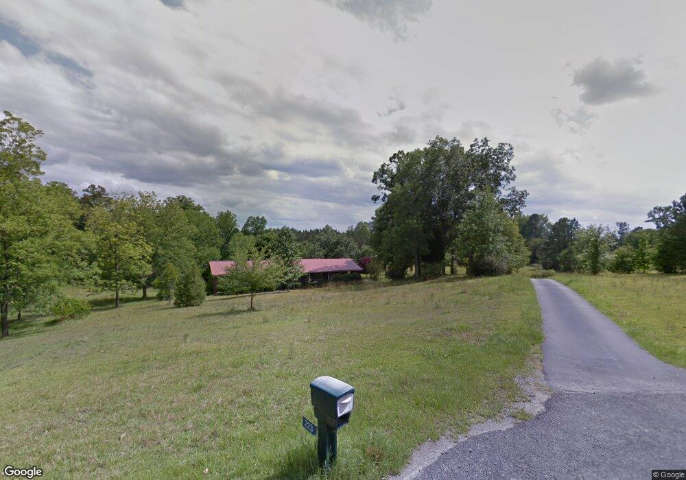
This home is located at 223 Hampton Hill Rd Unit TR1, Gray, GA 31032 and is currently estimated at $284,058, approximately $118 per square foot. 223 Hampton Hill Rd Unit TR1 is a home located in Jones County with nearby schools including Dames Ferry Elementary School, Gray Station Middle School, and Jones County High School.
Ownership History
Date
Name
Owned For
Owner Type
Purchase Details
Closed on
May 2, 2018
Sold by
Watson Donald A
Bought by
Walton Anthony
Current Estimated Value
Home Financials for this Owner
Home Financials are based on the most recent Mortgage that was taken out on this home.
Original Mortgage
$108,007
Outstanding Balance
$92,267
Interest Rate
4.25%
Mortgage Type
FHA
Estimated Equity
$191,791
Purchase Details
Closed on
Nov 27, 2012
Sold by
Howell Fulton Edsel
Bought by
Watson Donald A
Home Financials for this Owner
Home Financials are based on the most recent Mortgage that was taken out on this home.
Original Mortgage
$62,900
Interest Rate
3.44%
Mortgage Type
New Conventional
Create a Home Valuation Report for This Property
The Home Valuation Report is an in-depth analysis detailing your home's value as well as a comparison with similar homes in the area
Home Values in the Area
Average Home Value in this Area
Purchase History
| Date | Buyer | Sale Price | Title Company |
|---|---|---|---|
| Walton Anthony | $110,000 | -- | |
| Watson Donald A | $89,980 | -- |
Source: Public Records
Mortgage History
| Date | Status | Borrower | Loan Amount |
|---|---|---|---|
| Open | Walton Anthony | $108,007 | |
| Previous Owner | Watson Donald A | $62,900 |
Source: Public Records
Tax History
| Year | Tax Paid | Tax Assessment Tax Assessment Total Assessment is a certain percentage of the fair market value that is determined by local assessors to be the total taxable value of land and additions on the property. | Land | Improvement |
|---|---|---|---|---|
| 2025 | $1,712 | $55,865 | $21,221 | $34,644 |
| 2024 | $1,738 | $52,642 | $16,324 | $36,318 |
| 2023 | $927 | $46,892 | $16,324 | $30,568 |
| 2022 | $1,528 | $46,239 | $15,671 | $30,568 |
| 2021 | $1,530 | $46,239 | $15,671 | $30,568 |
| 2020 | $1,531 | $46,239 | $15,671 | $30,568 |
| 2019 | $1,450 | $46,239 | $15,671 | $30,568 |
| 2018 | $1,664 | $46,239 | $15,671 | $30,568 |
| 2017 | $1,664 | $46,239 | $15,671 | $30,568 |
| 2016 | $1,664 | $46,239 | $15,671 | $30,568 |
| 2015 | $1,574 | $46,239 | $15,671 | $30,568 |
| 2014 | $1,449 | $46,239 | $15,671 | $30,568 |
Source: Public Records
Map
Nearby Homes
- 1129 Porter Cir
- 1134 Porter Cir
- 0 Braswell Lake Rd
- 354 Pineview Rd
- 255 Katherine Dr
- 3331 Trotters Ridge Trail
- 191 Henry Dr
- 173 Henry Dr
- 337 Georgia 18
- 320 Amanda Dr
- Lot 133 Creekside Dr
- 204 Creekside Dr
- 354 Lite N Tie Rd
- 143 Ragan Dr
- 140 Lite-N-tie Rd
- 160 Ethridge Place
- 0 Ethridge Place Unit 10666693
- 0 Clinton Crossing Dr Unit M181966
- 000 Walnut Grove Rd
- 0 Walnut Grove Rd Unit 10697101
- 223 Hampton Hill Rd
- 223 Hampton Hill Rd Unit TR1
- 224 Hampton Hill Rd
- 225 Hampton Hill Rd
- 201 Hampton Hill Rd
- 216 Hampton Hill Rd
- 202 Hampton Hill Rd
- 173 Hampton Hill Rd
- 153 Hampton Hill Rd
- 182 Hampton Hill Rd
- 178 Hampton Hill Rd
- 170 Hampton Hill Rd
- 174 Hampton Hill Rd
- 162 Hampton Hill Rd
- 131 Hampton Hill Rd
- 1049 Porter Cir
- 1057 Porter Cir
- 128 Hampton Hill Rd
- 1061 Porter Cir
- 1065 Porter Cir
Your Personal Tour Guide
Ask me questions while you tour the home.