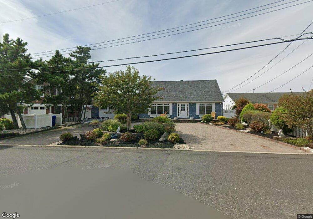
223 Ketch Rd Mantoloking, NJ 08738
Estimated Value: $1,764,000 - $2,500,000
4
Beds
2
Baths
2,053
Sq Ft
$987/Sq Ft
Est. Value
About This Home
This home is located at 223 Ketch Rd, Mantoloking, NJ 08738 and is currently estimated at $2,027,081, approximately $987 per square foot. 223 Ketch Rd is a home located in Ocean County with nearby schools including Emma Havens Young Elementary School, Lake Riviera Middle School, and Brick Township High School.
Ownership History
Date
Name
Owned For
Owner Type
Purchase Details
Closed on
Mar 29, 2019
Sold by
Zamora Michael and Esteves Dulce P
Bought by
Zamora Michael and Esteves Dulce P
Current Estimated Value
Home Financials for this Owner
Home Financials are based on the most recent Mortgage that was taken out on this home.
Original Mortgage
$805,000
Outstanding Balance
$707,738
Interest Rate
4.3%
Mortgage Type
New Conventional
Estimated Equity
$1,319,343
Purchase Details
Closed on
Jul 27, 2004
Sold by
Toresco Louise R and Toresco Barbara Ann
Bought by
Zamora Michael and Zamora Dulce Paul
Home Financials for this Owner
Home Financials are based on the most recent Mortgage that was taken out on this home.
Original Mortgage
$98,000
Interest Rate
5.68%
Mortgage Type
Credit Line Revolving
Purchase Details
Closed on
Nov 1, 2003
Sold by
Toresco Louise R
Bought by
Toresco Louise R and Toresco Barbara Ann
Create a Home Valuation Report for This Property
The Home Valuation Report is an in-depth analysis detailing your home's value as well as a comparison with similar homes in the area
Home Values in the Area
Average Home Value in this Area
Purchase History
| Date | Buyer | Sale Price | Title Company |
|---|---|---|---|
| Zamora Michael | -- | None Available | |
| Zamora Michael | $935,000 | Camelot Title Agency | |
| Toresco Louise R | -- | -- |
Source: Public Records
Mortgage History
| Date | Status | Borrower | Loan Amount |
|---|---|---|---|
| Open | Zamora Michael | $805,000 | |
| Closed | Zamora Michael | $98,000 | |
| Closed | Zamora Michael | $650,000 |
Source: Public Records
Tax History
| Year | Tax Paid | Tax Assessment Tax Assessment Total Assessment is a certain percentage of the fair market value that is determined by local assessors to be the total taxable value of land and additions on the property. | Land | Improvement |
|---|---|---|---|---|
| 2025 | $22,410 | $825,700 | $649,700 | $176,000 |
| 2024 | $20,271 | $825,700 | $649,700 | $176,000 |
| 2023 | $20,007 | $825,700 | $649,700 | $176,000 |
| 2022 | $20,007 | $825,700 | $649,700 | $176,000 |
| 2021 | $19,586 | $825,700 | $649,700 | $176,000 |
| 2020 | $19,338 | $825,700 | $649,700 | $176,000 |
| 2019 | $19,016 | $825,700 | $649,700 | $176,000 |
| 2018 | $18,578 | $825,700 | $649,700 | $176,000 |
| 2017 | $18,075 | $825,700 | $649,700 | $176,000 |
| 2016 | $17,984 | $825,700 | $649,700 | $176,000 |
| 2015 | $17,513 | $825,700 | $649,700 | $176,000 |
| 2014 | $17,373 | $825,700 | $649,700 | $176,000 |
Source: Public Records
Map
Nearby Homes
- 311 Brigantine Ln
- 181 Squan Beach Dr
- 308 Cove Dr
- 150 Sunset Ln
- 327 Tide Pond Rd
- 275 Curtis Point Dr
- 233 Curtis Point Dr
- 122 Squan Beach Dr
- 1581 Ocean Ave
- 366 Highway 35 N
- 1519 Runyon Ln
- 1521 Ocean Ave
- 438 Route 35 N Unit 2104
- 438 Route 35 N Unit 3201
- 438 Highway 35 N Unit 1202
- 1501 Ocean Ave
- 478 Ellison Dr
- 112 Neptune Ct
- 499 Ellison Dr
- 1318 Ocean Ave
Your Personal Tour Guide
Ask me questions while you tour the home.