223 Laney St Myrtle Beach, SC 29588
Estimated Value: $227,682 - $295,000
3
Beds
2
Baths
1,296
Sq Ft
$194/Sq Ft
Est. Value
About This Home
This home is located at 223 Laney St, Myrtle Beach, SC 29588 and is currently estimated at $251,171, approximately $193 per square foot. 223 Laney St is a home located in Horry County with nearby schools including Forestbrook Elementary School, Forestbrook Middle School, and Socastee High School.
Ownership History
Date
Name
Owned For
Owner Type
Purchase Details
Closed on
Jul 11, 2002
Sold by
Lees Development Inc
Bought by
Strickland Lorelei A
Current Estimated Value
Purchase Details
Closed on
Jan 28, 2002
Sold by
Gaines David L
Bought by
Lees Development Llc
Purchase Details
Closed on
Jan 11, 2002
Sold by
Lees Development Llc
Bought by
Gaines David L
Purchase Details
Closed on
Jul 21, 2001
Sold by
Henderson Billy Ray and Henderson Kemie Ranae
Bought by
Lees Development Llc
Purchase Details
Closed on
Dec 28, 2000
Sold by
Henderson Shirley Henson and Estate Of Billy Ray Henderson
Bought by
Henderson Billy Ray and Henderson Kemie Ranae
Create a Home Valuation Report for This Property
The Home Valuation Report is an in-depth analysis detailing your home's value as well as a comparison with similar homes in the area
Home Values in the Area
Average Home Value in this Area
Purchase History
| Date | Buyer | Sale Price | Title Company |
|---|---|---|---|
| Strickland Lorelei A | $32,800 | -- | |
| Lees Development Llc | -- | -- | |
| Gaines David L | $30,000 | -- | |
| Lees Development Llc | $250,000 | -- | |
| Henderson Billy Ray | -- | -- |
Source: Public Records
Tax History Compared to Growth
Tax History
| Year | Tax Paid | Tax Assessment Tax Assessment Total Assessment is a certain percentage of the fair market value that is determined by local assessors to be the total taxable value of land and additions on the property. | Land | Improvement |
|---|---|---|---|---|
| 2024 | $2,009 | $8,359 | $2,400 | $5,959 |
| 2023 | $491 | $5,538 | $1,116 | $4,422 |
| 2021 | $424 | $5,640 | $1,116 | $4,524 |
| 2020 | $352 | $5,640 | $1,116 | $4,524 |
| 2019 | $352 | $5,640 | $1,116 | $4,524 |
| 2018 | $0 | $4,816 | $992 | $3,824 |
| 2017 | $282 | $4,816 | $992 | $3,824 |
| 2016 | -- | $4,816 | $992 | $3,824 |
| 2015 | $287 | $4,816 | $992 | $3,824 |
| 2014 | $267 | $4,816 | $992 | $3,824 |
Source: Public Records
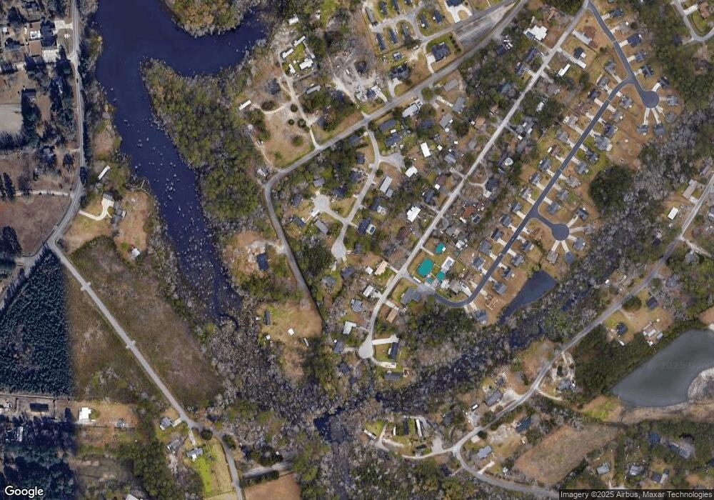
Map
Nearby Homes
- 4514 Misty Ln
- 768 Sturdy Root Place Unit lot 47
- 4210 Frank Mills Rd
- 4221 Blake Rd
- 4250 Lilac Rd Unit 4250 Lilac Road
- 4618 Home Place Cir
- 123 Hoffman Park Dr Unit 123
- 0 Sun Light Dr Unit France B Jones Lot A
- 4106 Sun Light Dr
- 4674 Ely Trail
- 4334 Pine Ln
- 121 Hoffman Park Dr Unit 121
- 4448 Flat Bay Cir
- 4215 Peachtree Ln
- 5528 Backwoods Rd
- TBD Leisure Ln
- 6609 Dick Pond Rd
- 6529 Northumberland Way
- 6125 R C Sarvis Ln
- 1560 Swing Bridge Way
- 4648 Misty Ln
- 227 Laney St
- 401 Hilo Ct
- 4652 Misty Ln
- 4642 Misty Ln
- 215 Laney St
- 4660 Misty Ln
- 4616 Misty Ln
- 211 Laney St
- 228 Laney St
- 4840 Pleasant Run Rd
- 409 Hilo Ct
- 408 Hilo Ct
- 4670 Misty Ln
- 206 Laney St Unit MB
- 362 Southern Branch Dr
- 202 Laney St
- 358 Southern Branch Dr
- 358 Southern Branch Dr Unit Southern Branch Subd
- 301 Maui Ct Unit MB