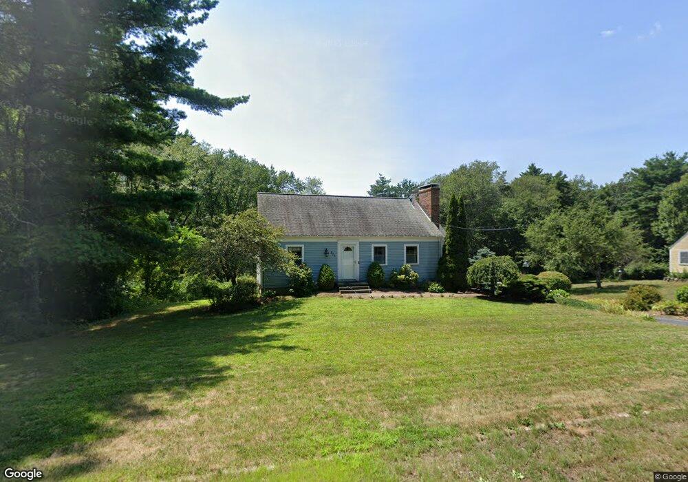
223 Maynard Rd Sudbury, MA 01776
Estimated Value: $797,000 - $1,030,000
4
Beds
2
Baths
1,818
Sq Ft
$489/Sq Ft
Est. Value
About This Home
This home is located at 223 Maynard Rd, Sudbury, MA 01776 and is currently estimated at $889,021, approximately $489 per square foot. 223 Maynard Rd is a home located in Middlesex County with nearby schools including General John Nixon Elementary School, Ephraim Curtis Middle School, and Lincoln-Sudbury Regional High School.
Ownership History
Date
Name
Owned For
Owner Type
Purchase Details
Closed on
Jun 13, 2008
Sold by
Isaacson Rt and Isaacson
Bought by
Romig 4Th Hobert B and Flynn Kristin G
Current Estimated Value
Home Financials for this Owner
Home Financials are based on the most recent Mortgage that was taken out on this home.
Original Mortgage
$373,500
Interest Rate
6.13%
Mortgage Type
Purchase Money Mortgage
Create a Home Valuation Report for This Property
The Home Valuation Report is an in-depth analysis detailing your home's value as well as a comparison with similar homes in the area
Home Values in the Area
Average Home Value in this Area
Purchase History
| Date | Buyer | Sale Price | Title Company |
|---|---|---|---|
| Romig 4Th Hobert B | $415,000 | -- | |
| Romig 4Th Hobert B | $415,000 | -- |
Source: Public Records
Mortgage History
| Date | Status | Borrower | Loan Amount |
|---|---|---|---|
| Open | Romig 4Th Hobert B | $369,000 | |
| Closed | Romig 4Th Hobert B | $373,500 | |
| Previous Owner | Romig 4Th Hobert B | $102,000 |
Source: Public Records
Tax History Compared to Growth
Tax History
| Year | Tax Paid | Tax Assessment Tax Assessment Total Assessment is a certain percentage of the fair market value that is determined by local assessors to be the total taxable value of land and additions on the property. | Land | Improvement |
|---|---|---|---|---|
| 2025 | $10,002 | $683,200 | $426,200 | $257,000 |
| 2024 | $9,654 | $660,800 | $413,800 | $247,000 |
| 2023 | $9,724 | $616,600 | $376,200 | $240,400 |
| 2022 | $9,662 | $535,300 | $345,400 | $189,900 |
| 2021 | $9,466 | $502,700 | $345,400 | $157,300 |
| 2020 | $9,275 | $502,700 | $345,400 | $157,300 |
| 2019 | $9,003 | $502,700 | $345,400 | $157,300 |
| 2018 | $8,899 | $496,300 | $349,400 | $146,900 |
| 2017 | $8,421 | $474,700 | $337,400 | $137,300 |
| 2016 | $8,115 | $455,900 | $324,600 | $131,300 |
| 2015 | $7,732 | $439,300 | $309,400 | $129,900 |
| 2014 | $7,672 | $425,500 | $298,600 | $126,900 |
Source: Public Records
Map
Nearby Homes
- 12 Camperdown Ln
- 45 Widow Rites Ln
- 55 Widow Rites Ln
- 24 Goodnow Rd
- 54 Phillips Rd
- 47 Fairbank Rd
- 5 Taintor Dr
- 14 Buckmaster Dr
- 104 Mossman Rd
- 427 Concord Rd
- 377 Concord Rd
- 447 Peakham Rd
- 16 Meadowbrook Cir
- 210 Plympton Rd
- 11 Great Lake Dr
- 371 Willis Rd
- 14 Tanbark Rd
- 270 Old Lancaster Rd
- 268 Old Sudbury Rd
- 73 Willow Rd