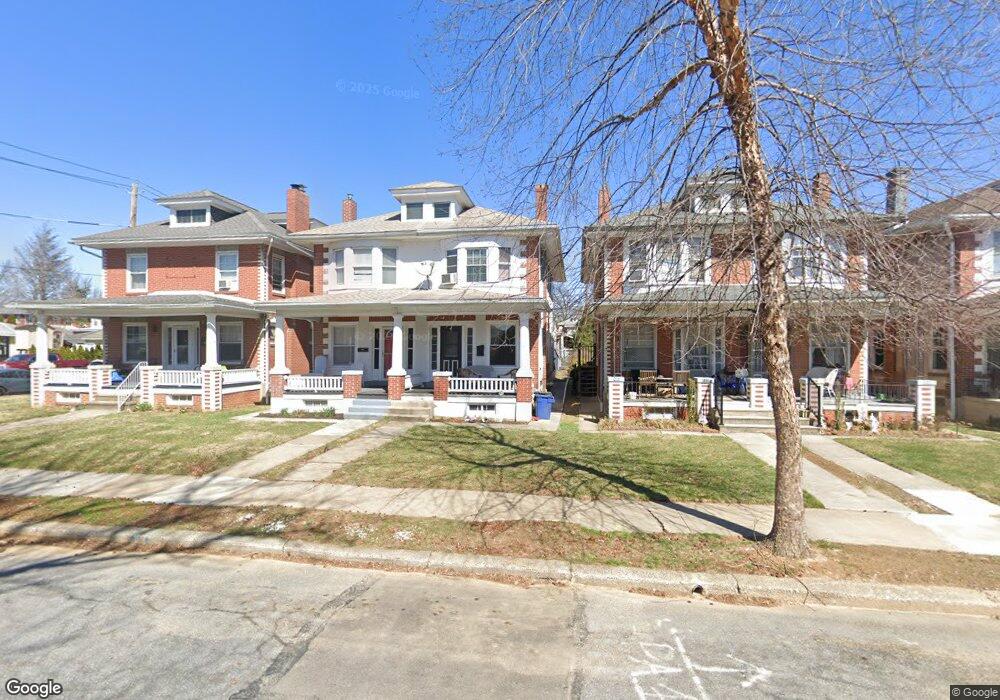
223 N Brobst St Reading, PA 19607
Estimated Value: $185,000 - $253,000
3
Beds
2
Baths
1,208
Sq Ft
$180/Sq Ft
Est. Value
About This Home
This home is located at 223 N Brobst St, Reading, PA 19607 and is currently estimated at $217,917, approximately $180 per square foot. 223 N Brobst St is a home located in Berks County with nearby schools including Cumru Elementary School, Governor Mifflin Intermediate School, and Governor Mifflin Middle School.
Ownership History
Date
Name
Owned For
Owner Type
Purchase Details
Closed on
Jan 28, 2005
Sold by
Howell G Tyler and Howell Melaney S
Bought by
Baum Douglass B and Baum Jennie F
Current Estimated Value
Purchase Details
Closed on
Apr 25, 2003
Sold by
Howell G Tyler and Howell Melaney S
Bought by
Howell G Tyler and Howell Melaney S
Home Financials for this Owner
Home Financials are based on the most recent Mortgage that was taken out on this home.
Original Mortgage
$67,903
Interest Rate
5.83%
Mortgage Type
FHA
Create a Home Valuation Report for This Property
The Home Valuation Report is an in-depth analysis detailing your home's value as well as a comparison with similar homes in the area
Home Values in the Area
Average Home Value in this Area
Purchase History
| Date | Buyer | Sale Price | Title Company |
|---|---|---|---|
| Baum Douglass B | $75,000 | Conestoga Title Insurance Co | |
| Howell G Tyler | -- | -- |
Source: Public Records
Mortgage History
| Date | Status | Borrower | Loan Amount |
|---|---|---|---|
| Previous Owner | Howell G Tyler | $67,903 |
Source: Public Records
Tax History
| Year | Tax Paid | Tax Assessment Tax Assessment Total Assessment is a certain percentage of the fair market value that is determined by local assessors to be the total taxable value of land and additions on the property. | Land | Improvement |
|---|---|---|---|---|
| 2025 | $1,111 | $68,800 | $24,000 | $44,800 |
| 2024 | $3,136 | $68,800 | $24,000 | $44,800 |
| 2023 | $3,055 | $68,800 | $24,000 | $44,800 |
| 2022 | $3,020 | $68,800 | $24,000 | $44,800 |
| 2021 | $2,986 | $68,800 | $24,000 | $44,800 |
| 2020 | $2,986 | $68,800 | $24,000 | $44,800 |
| 2019 | $2,951 | $68,800 | $24,000 | $44,800 |
| 2018 | $2,917 | $68,800 | $24,000 | $44,800 |
| 2017 | $2,863 | $68,800 | $24,000 | $44,800 |
| 2016 | $978 | $68,800 | $24,000 | $44,800 |
| 2015 | $978 | $68,800 | $24,000 | $44,800 |
| 2014 | $894 | $68,800 | $24,000 | $44,800 |
Source: Public Records
Map
Nearby Homes
- 131 E Elm St
- 405 State St
- 24 Philadelphia Ave
- 200 W Lancaster Ave
- 31 S Sterley St Unit 401
- 1504 Old Mill Rd
- 202 Museum Rd
- 311 Lynoak Ave
- 135 Chestnut St
- 511 Grill Ave
- 526 Harding Ave
- 1716 Liggett Ave
- 204 High Blvd
- 512 Mifflin Blvd
- 1617 Meadowlark Rd
- 10 Chesterwood Cir
- 1432 Liggett Ave
- 1979 Meadow Ln
- 1913 Meadow Ln
- 17 Charlemont Ct
- 225 N Brobst St
- 221 N Brobst St
- 227 N Brobst St
- 219 N Brobst St
- 217 N Brobst St
- 104 Reading Ave
- 215 N Brobst St
- 106 Reading Ave
- 213 N Brobst St
- 301 N Brobst St
- 211 N Brobst St
- 110 Reading Ave
- 209 N Brobst St
- 303 N Brobst St
- 112 Reading Ave
- 205 N Brobst St
- 305 N Brobst St
- 207 N Brobst St
- 114 Reading Ave
- 203 N Brobst St
Your Personal Tour Guide
Ask me questions while you tour the home.