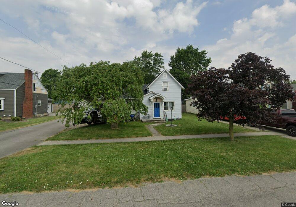
223 N East Ave Deshler, OH 43516
Estimated Value: $126,000 - $136,000
3
Beds
1
Bath
1,132
Sq Ft
$114/Sq Ft
Est. Value
About This Home
This home is located at 223 N East Ave, Deshler, OH 43516 and is currently estimated at $129,297, approximately $114 per square foot. 223 N East Ave is a home located in Henry County with nearby schools including Patrick Henry Middle School and Patrick Henry High School.
Ownership History
Date
Name
Owned For
Owner Type
Purchase Details
Closed on
Jan 31, 2007
Sold by
Thompson Helen L and Thompson Gene R
Bought by
Evearitt Ryan L and Evearitt Amy R
Current Estimated Value
Home Financials for this Owner
Home Financials are based on the most recent Mortgage that was taken out on this home.
Original Mortgage
$67,817
Outstanding Balance
$40,687
Interest Rate
6.19%
Mortgage Type
Balloon
Estimated Equity
$88,610
Purchase Details
Closed on
Dec 7, 2006
Sold by
Patton Janet L
Bought by
Thompson Helen L
Home Financials for this Owner
Home Financials are based on the most recent Mortgage that was taken out on this home.
Original Mortgage
$67,817
Outstanding Balance
$40,687
Interest Rate
6.19%
Mortgage Type
Balloon
Estimated Equity
$88,610
Create a Home Valuation Report for This Property
The Home Valuation Report is an in-depth analysis detailing your home's value as well as a comparison with similar homes in the area
Home Values in the Area
Average Home Value in this Area
Purchase History
| Date | Buyer | Sale Price | Title Company |
|---|---|---|---|
| Evearitt Ryan L | $67,900 | Attorney | |
| Thompson Helen L | -- | Attorney |
Source: Public Records
Mortgage History
| Date | Status | Borrower | Loan Amount |
|---|---|---|---|
| Open | Evearitt Ryan L | $67,817 |
Source: Public Records
Tax History Compared to Growth
Tax History
| Year | Tax Paid | Tax Assessment Tax Assessment Total Assessment is a certain percentage of the fair market value that is determined by local assessors to be the total taxable value of land and additions on the property. | Land | Improvement |
|---|---|---|---|---|
| 2024 | $1,088 | $27,210 | $2,470 | $24,740 |
| 2023 | $1,088 | $27,210 | $2,470 | $24,740 |
| 2022 | $999 | $42,680 | $4,780 | $37,900 |
| 2021 | $999 | $21,340 | $2,390 | $18,950 |
| 2020 | $1,049 | $21,340 | $2,390 | $18,950 |
| 2019 | $874 | $18,650 | $2,280 | $16,370 |
| 2018 | $907 | $18,650 | $2,280 | $16,370 |
| 2017 | $867 | $18,650 | $2,280 | $16,370 |
| 2016 | $726 | $15,840 | $2,280 | $13,560 |
| 2015 | $824 | $15,840 | $2,280 | $13,560 |
| 2014 | $824 | $15,840 | $2,280 | $13,560 |
| 2013 | $824 | $19,190 | $2,280 | $16,910 |
Source: Public Records
Map
Nearby Homes
- 139 S Lind St
- 126 S Keyser Ave
- 415 E Main St
- 224 S Keyser Ave
- 429 N Park St
- 320 S Keyser Ave
- 534 S Butternut St
- 621 W Maple St
- 125 N Harvest Dr
- 123 N Harvest St
- 121 N Harvest St
- 119 N Harvest St
- 117 N Harvest St
- 110 N Harvest Dr
- 112 N Harvest Dr
- 114 N Harvest Dr
- 116 N Harvest St
- 118 N Harvest Dr
- 120 N Harvest Dr
- 122 N Harvest St