Estimated Value: $945,000 - $1,103,000
3
Beds
2
Baths
2,988
Sq Ft
$340/Sq Ft
Est. Value
About This Home
This home is located at 223 Pointed Fir Blvd W, Wells, ME 04090 and is currently estimated at $1,016,679, approximately $340 per square foot. 223 Pointed Fir Blvd W is a home with nearby schools including Wells Junior High School, Wells Elementary School, and Wells High School.
Ownership History
Date
Name
Owned For
Owner Type
Purchase Details
Closed on
Nov 20, 2006
Sold by
Bettencourt Avril M and Bettencourt Gerald R
Bought by
Bettencourt Megan
Current Estimated Value
Home Financials for this Owner
Home Financials are based on the most recent Mortgage that was taken out on this home.
Original Mortgage
$200,000
Interest Rate
6.33%
Mortgage Type
Purchase Money Mortgage
Create a Home Valuation Report for This Property
The Home Valuation Report is an in-depth analysis detailing your home's value as well as a comparison with similar homes in the area
Home Values in the Area
Average Home Value in this Area
Purchase History
| Date | Buyer | Sale Price | Title Company |
|---|---|---|---|
| Bettencourt Megan | -- | -- | |
| Bettencourt Megan | -- | -- | |
| Bettencourt Megan | -- | -- |
Source: Public Records
Mortgage History
| Date | Status | Borrower | Loan Amount |
|---|---|---|---|
| Closed | Bettencourt Megan | $192,000 | |
| Closed | Bettencourt Megan | $200,000 |
Source: Public Records
Tax History Compared to Growth
Tax History
| Year | Tax Paid | Tax Assessment Tax Assessment Total Assessment is a certain percentage of the fair market value that is determined by local assessors to be the total taxable value of land and additions on the property. | Land | Improvement |
|---|---|---|---|---|
| 2024 | $4,979 | $818,890 | $214,560 | $604,330 |
| 2023 | $4,881 | $818,890 | $214,560 | $604,330 |
| 2022 | $4,589 | $438,700 | $97,510 | $341,190 |
| 2021 | $4,615 | $438,700 | $97,510 | $341,190 |
| 2020 | $4,598 | $438,700 | $97,510 | $341,190 |
| 2019 | $4,571 | $438,700 | $97,510 | $341,190 |
| 2018 | $4,527 | $438,700 | $97,510 | $341,190 |
| 2017 | $4,457 | $438,700 | $97,510 | $341,190 |
| 2016 | $4,413 | $438,700 | $97,510 | $341,190 |
| 2015 | $4,365 | $438,700 | $97,510 | $341,190 |
| 2013 | $4,001 | $438,700 | $97,510 | $341,190 |
Source: Public Records
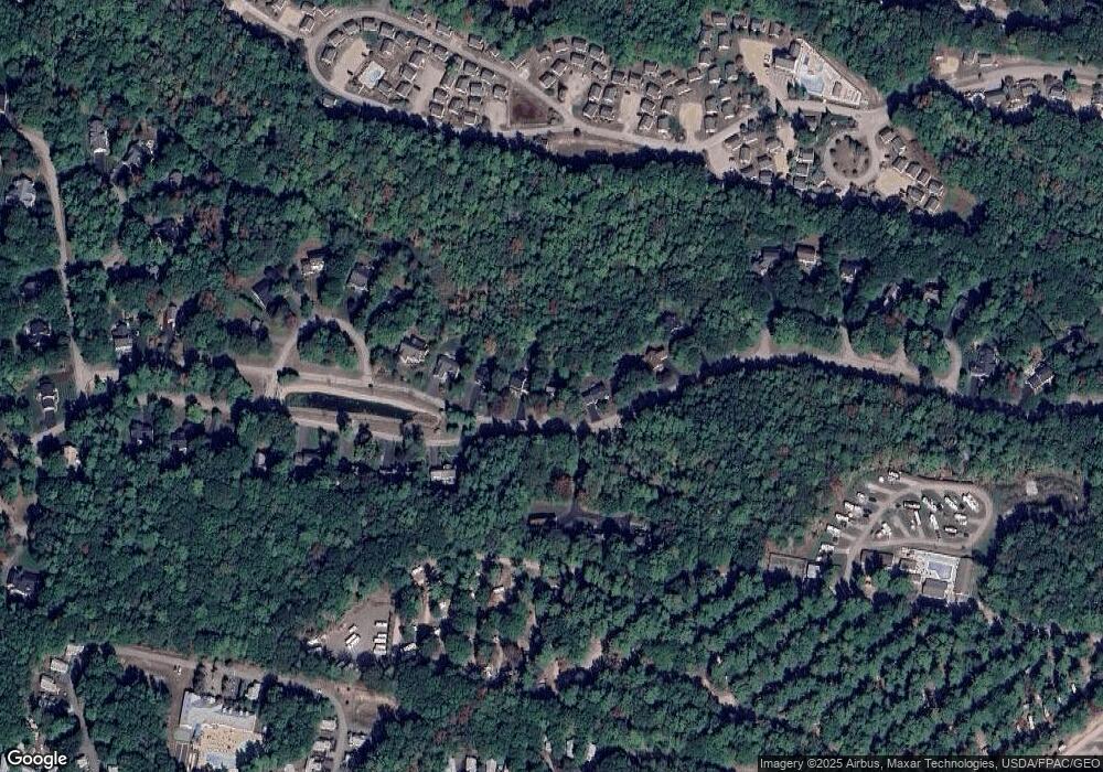
Map
Nearby Homes
- 1 Old County Rd Unit 702
- 1 Old County Rd Unit 165
- 1 Old County Rd Unit 132
- 430 Post Rd Unit 320
- 430 Post Rd Unit 181
- 430 Post Rd Unit 98
- 430 Post Rd Unit 130
- 430 Post Rd Unit 256
- 430 Post Rd Unit 325
- 430 Post Rd Unit 177
- 430 Post Rd Unit 184
- 430 Post Rd Unit 186
- 430 Post Rd Unit 55
- 430 Post Rd Unit 277
- 430 Post Rd Unit 323
- 430 Post Rd Unit 116
- 430 Post Rd Unit 327
- 430 Post Rd Unit 276
- 412 Post Rd Unit 304
- 412 Post Rd Unit 145
- 211 Pointed Fir Blvd W
- 229 Pointed Fir Blvd W
- 229 Pointed Fir Blvd W
- 247 Pointed Fir Blvd W
- 241 Pointed Fir Blvd W
- 241 Pointed Fir Blvd W
- 199 Pointed Fir Blvd W
- 0 Puffin Ln
- 193 Pointed Fir Blvd W
- 187 Pointed Fir Blvd W
- 246 Pointed Fir Blvd E
- 246 Pointed Fir Blvd E
- 21 Puffin Ln
- 15 Puffin Ln
- 3 Bobolink Ln
- 25 Puffin Ln
- 256 Pointed Fir Blvd E
- 7 Bobolink Ln
- 11 Bobolink Ln
- 266 Pointed Fir Blvd E