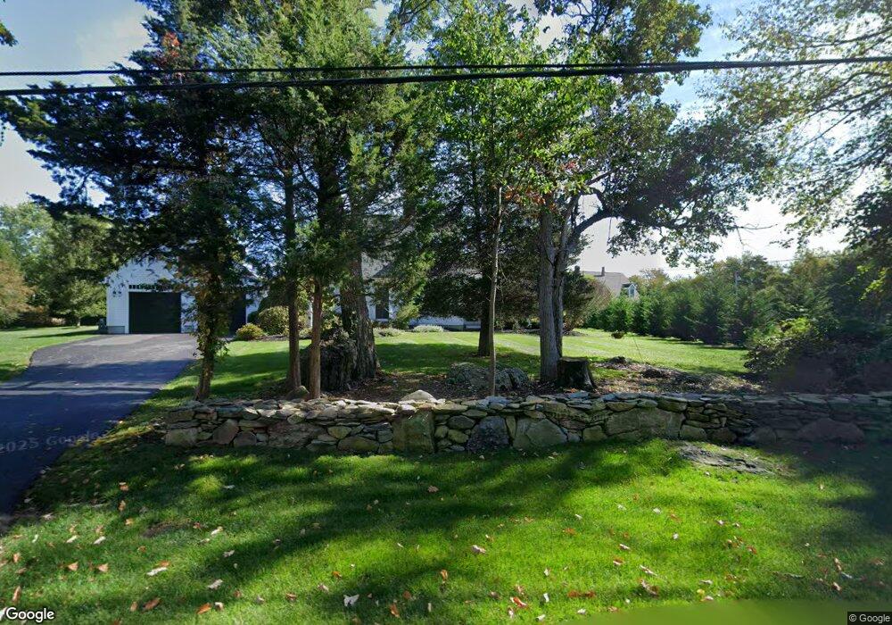
223 Purchase St Swansea, MA 02777
West Swansea NeighborhoodEstimated Value: $691,295 - $815,000
4
Beds
3
Baths
2,018
Sq Ft
$379/Sq Ft
Est. Value
About This Home
This home is located at 223 Purchase St, Swansea, MA 02777 and is currently estimated at $764,074, approximately $378 per square foot. 223 Purchase St is a home located in Bristol County with nearby schools including Joseph Case High School.
Ownership History
Date
Name
Owned For
Owner Type
Purchase Details
Closed on
Aug 12, 1991
Sold by
Littlefield Pauline
Bought by
Gathard Lewis F and Halloran Gail A
Current Estimated Value
Home Financials for this Owner
Home Financials are based on the most recent Mortgage that was taken out on this home.
Original Mortgage
$24,000
Interest Rate
9.58%
Mortgage Type
Purchase Money Mortgage
Create a Home Valuation Report for This Property
The Home Valuation Report is an in-depth analysis detailing your home's value as well as a comparison with similar homes in the area
Home Values in the Area
Average Home Value in this Area
Purchase History
| Date | Buyer | Sale Price | Title Company |
|---|---|---|---|
| Gathard Lewis F | $30,000 | -- |
Source: Public Records
Mortgage History
| Date | Status | Borrower | Loan Amount |
|---|---|---|---|
| Open | Gathard Lewis F | $220,000 | |
| Closed | Gathard Lewis F | $115,000 | |
| Closed | Gathard Lewis F | $100,000 | |
| Closed | Gathard Lewis F | $24,000 |
Source: Public Records
Tax History Compared to Growth
Tax History
| Year | Tax Paid | Tax Assessment Tax Assessment Total Assessment is a certain percentage of the fair market value that is determined by local assessors to be the total taxable value of land and additions on the property. | Land | Improvement |
|---|---|---|---|---|
| 2025 | $7,033 | $590,000 | $199,000 | $391,000 |
| 2024 | $6,990 | $583,000 | $199,000 | $384,000 |
| 2023 | $6,512 | $496,000 | $148,000 | $348,000 |
| 2022 | $6,176 | $429,200 | $128,700 | $300,500 |
| 2021 | $5,919 | $378,700 | $134,500 | $244,200 |
| 2020 | $5,928 | $380,500 | $140,400 | $240,100 |
| 2019 | $5,525 | $356,200 | $121,100 | $235,100 |
| 2018 | $5,397 | $353,200 | $118,100 | $235,100 |
| 2017 | $4,754 | $358,000 | $113,000 | $245,000 |
| 2016 | $4,604 | $340,500 | $108,800 | $231,700 |
| 2015 | $4,282 | $326,100 | $108,800 | $217,300 |
| 2014 | $4,122 | $321,000 | $108,800 | $212,200 |
Source: Public Records
Map
Nearby Homes
- 48 Laurie Ln
- 2660 Courtlyn Rd
- 16 Ashlynn Way
- 19 Cedar St Unit 21
- 47 Spring St
- 490 Dillon Ln
- 49 Sophia Dr
- 50 Sophia Dr
- 51 Sophia Dr
- 203 Hornbine Rd
- 35 Clubhouse Dr Unit RR35
- RR33 Club House Dr Unit Lot RR33
- 3064 Clubhouse Dr
- 16 Martin St
- 3094 Millers Ln
- 3035 Clubhouse Dr Unit 6
- 3035 Clubhouse Dr Unit 8
- 3049 Clubhouse Dr Unit 77
- 3035 Clubhouse Dr Unit 2
- 3055 Clubhouse Dr Unit 80
- 207 Purchase St
- 227 Purchase St
- 183 Purchase St
- 169 Purchase St
- 30 Wheaton Ct
- 157 Purchase St
- 287 Purchase St
- 42 Wheaton Ct
- 149 Purchase St
- 7 Wheaton Ct
- 28 Littlefield Terrace
- 76 Morgans Way
- 27 Wheaton Ct
- 85 Morgans Way
- 132 Purchase St
- 41 Wheaton Ct
- 54 Wheaton Ct
- 297 Purchase St
- 53 Wheaton Ct
- 139 Purchase St