223 River St Shawnee, CO 80475
Estimated Value: $362,000 - $522,000
3
Beds
2
Baths
924
Sq Ft
$510/Sq Ft
Est. Value
About This Home
This home is located at 223 River St, Shawnee, CO 80475 and is currently estimated at $471,385, approximately $510 per square foot. 223 River St is a home with nearby schools including Deer Creek Elementary School, Fitzsimmons Middle School, and Platte Canyon High School.
Ownership History
Date
Name
Owned For
Owner Type
Purchase Details
Closed on
May 16, 2008
Sold by
Bank Of New York
Bought by
Mccauce Pamela J
Current Estimated Value
Home Financials for this Owner
Home Financials are based on the most recent Mortgage that was taken out on this home.
Original Mortgage
$137,837
Outstanding Balance
$87,337
Interest Rate
5.89%
Mortgage Type
FHA
Estimated Equity
$384,048
Purchase Details
Closed on
Jun 7, 2007
Sold by
Miller Silvestro Anthonia
Bought by
Bank Of New York
Purchase Details
Closed on
Nov 28, 2005
Sold by
Michael R Williams Llc
Bought by
Miller Silvestro Antonia
Home Financials for this Owner
Home Financials are based on the most recent Mortgage that was taken out on this home.
Original Mortgage
$174,400
Interest Rate
7.25%
Mortgage Type
Adjustable Rate Mortgage/ARM
Create a Home Valuation Report for This Property
The Home Valuation Report is an in-depth analysis detailing your home's value as well as a comparison with similar homes in the area
Home Values in the Area
Average Home Value in this Area
Purchase History
| Date | Buyer | Sale Price | Title Company |
|---|---|---|---|
| Mccauce Pamela J | $140,000 | Security Title | |
| Bank Of New York | -- | None Available | |
| Miller Silvestro Antonia | $218,000 | None Available |
Source: Public Records
Mortgage History
| Date | Status | Borrower | Loan Amount |
|---|---|---|---|
| Open | Mccauce Pamela J | $137,837 | |
| Previous Owner | Miller Silvestro Antonia | $174,400 |
Source: Public Records
Tax History Compared to Growth
Tax History
| Year | Tax Paid | Tax Assessment Tax Assessment Total Assessment is a certain percentage of the fair market value that is determined by local assessors to be the total taxable value of land and additions on the property. | Land | Improvement |
|---|---|---|---|---|
| 2024 | $1,870 | $31,620 | $1,850 | $29,770 |
| 2023 | $1,870 | $31,620 | $1,850 | $29,770 |
| 2022 | $1,473 | $23,267 | $1,463 | $21,804 |
| 2021 | $1,461 | $23,930 | $1,500 | $22,430 |
| 2020 | $1,371 | $21,570 | $960 | $20,610 |
| 2019 | $1,352 | $21,570 | $960 | $20,610 |
| 2018 | $1,151 | $21,570 | $960 | $20,610 |
| 2017 | $1,014 | $17,790 | $910 | $16,880 |
| 2016 | $1,014 | $15,620 | $1,170 | $14,450 |
| 2015 | $1,023 | $15,620 | $1,170 | $14,450 |
| 2014 | $810 | $0 | $0 | $0 |
Source: Public Records
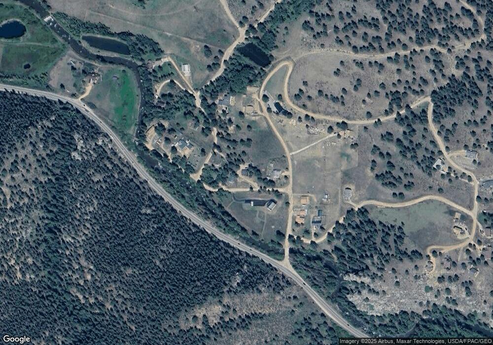
Map
Nearby Homes
- 156 Cline Dr W
- 248 E Cline Dr
- 220 N Fork Rd
- 56216 Us Highway 285
- 357 County Road 64
- 364 County Road 64 Unit 14
- 57920 Us Highway 285 Unit 23/24
- 57920 Us Highway 285 Unit 10
- 429
- 637 Rock Rd
- 7505 County Road 43
- 24 Timbertop Rd
- 1288 Royal Ridge Dr
- 255 Saddlestring Rd
- 193 Twilight Terrace Dr
- 278 Clark Rd
- 505 Road P69
- 990 Road P69
- 715 Clark Rd
- 68 Aspen Dr