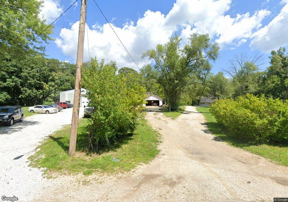
223 Roosevelt Cir Unit C East Peoria, IL 61611
Estimated Value: $39,000 - $54,023
3
Beds
1
Bath
1,347
Sq Ft
$34/Sq Ft
Est. Value
About This Home
This home is located at 223 Roosevelt Cir Unit C, East Peoria, IL 61611 and is currently estimated at $45,256, approximately $33 per square foot. 223 Roosevelt Cir Unit C is a home located in Tazewell County with nearby schools including Lasalle Elementary School, Parkview Jr High School, and East Peoria High School.
Ownership History
Date
Name
Owned For
Owner Type
Purchase Details
Closed on
Jan 29, 2025
Sold by
Cemenska Charles D
Bought by
Sprocket Solutions Llc
Current Estimated Value
Purchase Details
Closed on
Jul 26, 2024
Sold by
Kleiber Austin James
Bought by
Cemenska Charles
Purchase Details
Closed on
Sep 5, 2023
Sold by
Pnc Bank National Association
Bought by
Kleiber Austin James
Purchase Details
Closed on
Mar 6, 2023
Sold by
Judicial Sales Corporation
Bought by
Pnc Bank National Association
Purchase Details
Closed on
Apr 6, 2011
Sold by
Hamp Linda F
Bought by
Obrien Henry B
Create a Home Valuation Report for This Property
The Home Valuation Report is an in-depth analysis detailing your home's value as well as a comparison with similar homes in the area
Home Values in the Area
Average Home Value in this Area
Purchase History
| Date | Buyer | Sale Price | Title Company |
|---|---|---|---|
| Sprocket Solutions Llc | $40,000 | None Listed On Document | |
| Cemenska Charles | $40,000 | None Listed On Document | |
| Kleiber Austin James | $37,500 | Premier Title | |
| Pnc Bank National Association | -- | -- | |
| Obrien Henry B | -- | None Available |
Source: Public Records
Tax History Compared to Growth
Tax History
| Year | Tax Paid | Tax Assessment Tax Assessment Total Assessment is a certain percentage of the fair market value that is determined by local assessors to be the total taxable value of land and additions on the property. | Land | Improvement |
|---|---|---|---|---|
| 2024 | $700 | $13,620 | $6,440 | $7,180 |
| 2023 | $700 | $12,500 | $5,910 | $6,590 |
| 2022 | $2,194 | $28,900 | $5,470 | $23,430 |
| 2021 | $2,070 | $27,790 | $5,260 | $22,530 |
| 2020 | $2,001 | $27,790 | $5,260 | $22,530 |
| 2019 | $1,983 | $27,790 | $5,260 | $22,530 |
| 2018 | $1,933 | $27,790 | $5,260 | $22,530 |
| 2017 | $1,913 | $26,930 | $5,100 | $21,830 |
| 2016 | $1,883 | $26,930 | $5,100 | $21,830 |
| 2015 | $1,790 | $0 | $0 | $0 |
| 2013 | $1,473 | $26,930 | $5,100 | $21,830 |
Source: Public Records
Map
Nearby Homes
- 101 Woodbrook Ct
- 108 Kohl St
- 1604 Springfield Rd
- 1406 Springfield Rd
- 106 Field Grove Rd
- 404 Rainbow Dr
- 1203 Springfield Rd
- 2217 Springfield Rd
- 557 Groveland St
- 120 Gerber Ct
- 104 Lewis Ct
- 1004 Springfield Rd
- 529 Carola St
- 129 Glenridge Dr
- 515 Briarbrook Dr
- 409 Briarbrook Dr
- 118 Gottlieb Ct
- 123 Holland Ct
- 301 Briarbrook Dr
- Lot 1 Briarbrook Dr
- 223 Roosevelt Cir
- 223 Roosevelt Cir
- 317 Roosevelt Cir
- 1918 Cole St
- 323 Roosevelt Cir
- 300 Roosevelt Cir
- 221 Roosevelt Cir
- 1926 Cole St
- 222 Roosevelt Cir
- 327 Roosevelt Cir
- 316 Roosevelt Cir
- 1930 Cole St
- 1901 Cole St
- 403 Roosevelt Cir
- 2091/2 Roosevelt Cir
- 217 Roosevelt Cir
- 128 Roosevelt Cir
- 1909 Cole St
- 1911 Cole St
- 2000 Cole St
