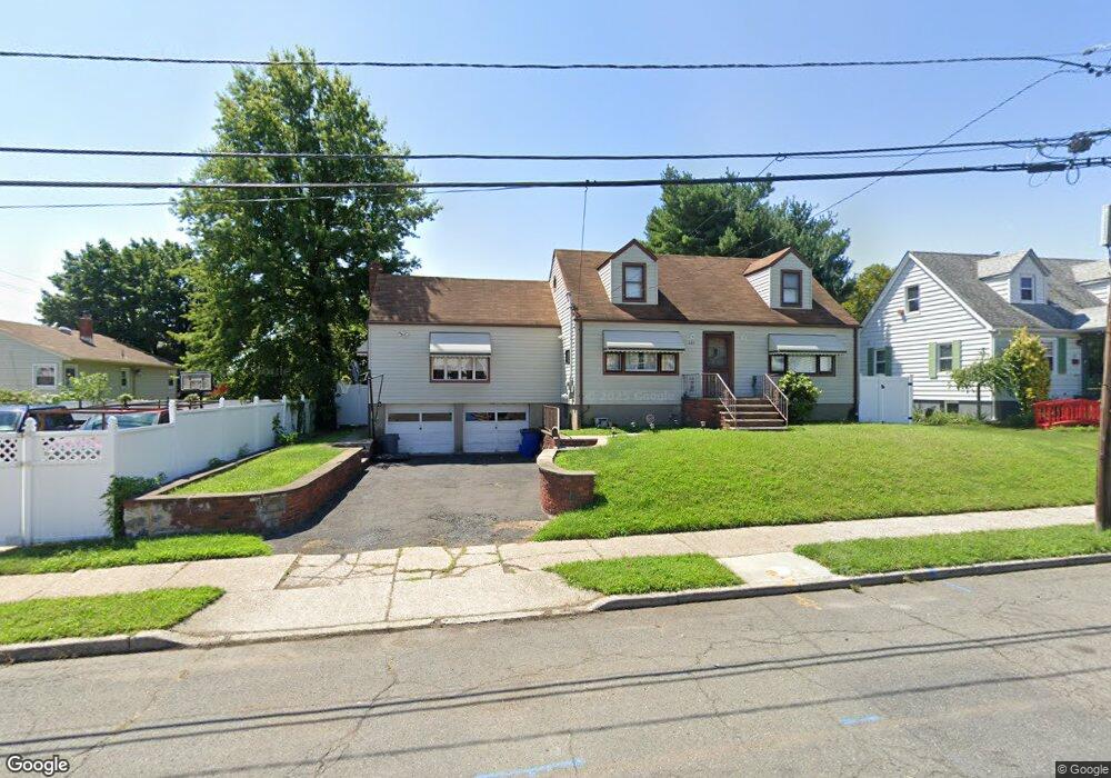
223 Rossiter Ave Unit 227 Paterson, NJ 07502
Hillcrest NeighborhoodEstimated Value: $450,000 - $526,000
--
Bed
--
Bath
1,158
Sq Ft
$432/Sq Ft
Est. Value
About This Home
This home is located at 223 Rossiter Ave Unit 227, Paterson, NJ 07502 and is currently estimated at $500,459, approximately $432 per square foot. 223 Rossiter Ave Unit 227 is a home located in Passaic County with nearby schools including Edward W. Kilpatrick School of Discovery, Dale Avenue Elementary School, and Paterson Public School No. 5.
Ownership History
Date
Name
Owned For
Owner Type
Purchase Details
Closed on
Mar 27, 2014
Sold by
Natale Dianna and Estate Of Gabriella Shaw
Bought by
Parga Mario and Cruz Parga Yesenia
Current Estimated Value
Home Financials for this Owner
Home Financials are based on the most recent Mortgage that was taken out on this home.
Original Mortgage
$154,800
Outstanding Balance
$117,633
Interest Rate
4.33%
Mortgage Type
New Conventional
Estimated Equity
$382,826
Create a Home Valuation Report for This Property
The Home Valuation Report is an in-depth analysis detailing your home's value as well as a comparison with similar homes in the area
Home Values in the Area
Average Home Value in this Area
Purchase History
| Date | Buyer | Sale Price | Title Company |
|---|---|---|---|
| Parga Mario | $172,000 | Agenty For First American Ti |
Source: Public Records
Mortgage History
| Date | Status | Borrower | Loan Amount |
|---|---|---|---|
| Open | Parga Mario | $154,800 |
Source: Public Records
Tax History Compared to Growth
Tax History
| Year | Tax Paid | Tax Assessment Tax Assessment Total Assessment is a certain percentage of the fair market value that is determined by local assessors to be the total taxable value of land and additions on the property. | Land | Improvement |
|---|---|---|---|---|
| 2025 | $11,566 | $227,000 | $95,600 | $131,400 |
| 2024 | $11,130 | $227,000 | $95,600 | $131,400 |
| 2022 | $10,537 | $227,000 | $95,600 | $131,400 |
| 2021 | $10,161 | $227,000 | $95,600 | $131,400 |
| 2020 | $9,477 | $227,000 | $95,600 | $131,400 |
| 2019 | $9,190 | $222,300 | $93,900 | $128,400 |
| 2018 | $9,491 | $219,400 | $93,100 | $126,300 |
| 2017 | $9,065 | $217,900 | $92,600 | $125,300 |
| 2016 | $9,450 | $217,800 | $97,500 | $120,300 |
| 2015 | $8,947 | $217,800 | $97,500 | $120,300 |
| 2014 | $10,304 | $355,300 | $213,000 | $142,300 |
Source: Public Records
Map
Nearby Homes
- 237 Sherwood Ave Unit 239
- 262-280 Chamberlain Ave Unit 4
- 295-297 Linwood Ave
- 120 Sherwood Ave Unit 102
- 231 Lenox Ave Unit 233
- 231-233 Lenox Ave
- 249 Edmund Ave
- 481 Preakness Ave
- 239 Lexington Ave Unit 241
- 512 Preakness Ave
- 194-196 Union Ave
- 81 Berkshire Ave
- 153 Arlington Ave Unit 155
- 153 155arlington Ave
- 91 Chatham Ave
- 224 Union Ave
- 89-91 Chatham Ave
- 262 Union Ave
- 207 Burlington Ave
- 203-207 Burlington Ave
- 223-227 Rossiter Ave
- 229 Rossiter Ave Unit 233
- 233 Chamberlain Ave Unit 235
- 229 Chamberlain Ave Unit 231
- 224 Sherwood Ave Unit 228
- 230 Sherwood Ave Unit 232
- 220 Sherwood Ave Unit 222
- 235 Rossiter Ave Unit 237
- 234 Sherwood Ave Unit 236
- 216 Sherwood Ave Unit 218
- 234-236 Sherwood Ave
- 224 Rossiter Ave Unit 226
- 241 Chamberlain Ave Unit 243
- 238 Sherwood Ave Unit 240
- 236 Rossiter Ave Unit 238
- 245 Chamberlain Ave Unit 247
- 239 Rossiter Ave Unit 241
- 230 Chamberlain Ave Unit 232
- 242 Sherwood Ave Unit 244
- 226 Chamberlain Ave Unit 228