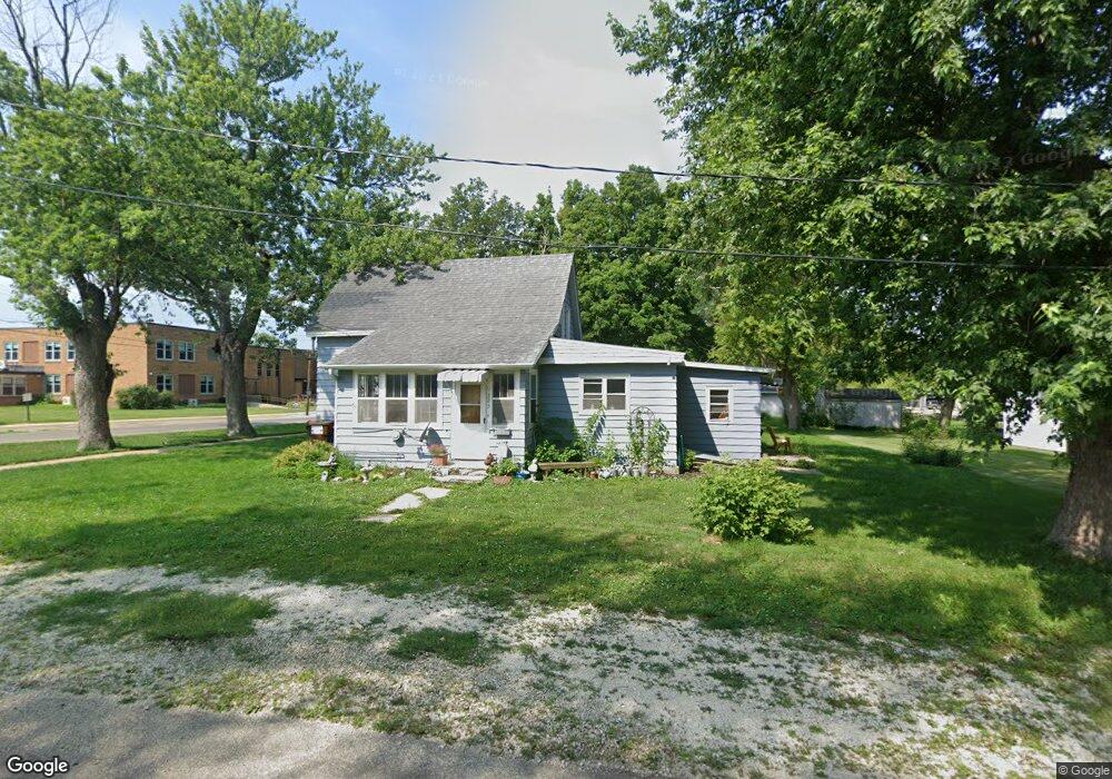
223 S Center St Creston, IL 60113
Estimated Value: $45,000 - $190,000
--
Bed
--
Bath
1,139
Sq Ft
$83/Sq Ft
Est. Value
About This Home
This home is located at 223 S Center St, Creston, IL 60113 and is currently estimated at $94,823, approximately $83 per square foot. 223 S Center St is a home with nearby schools including Creston Elementary School and Rochelle Township High School.
Ownership History
Date
Name
Owned For
Owner Type
Purchase Details
Closed on
Sep 8, 2016
Sold by
Thompson Douglass and Thompson Leann K
Bought by
Pineapple Development Llc
Current Estimated Value
Home Financials for this Owner
Home Financials are based on the most recent Mortgage that was taken out on this home.
Original Mortgage
$28,000
Outstanding Balance
$22,401
Interest Rate
3.48%
Mortgage Type
New Conventional
Estimated Equity
$72,422
Create a Home Valuation Report for This Property
The Home Valuation Report is an in-depth analysis detailing your home's value as well as a comparison with similar homes in the area
Home Values in the Area
Average Home Value in this Area
Purchase History
| Date | Buyer | Sale Price | Title Company |
|---|---|---|---|
| Pineapple Development Llc | $17,000 | -- |
Source: Public Records
Mortgage History
| Date | Status | Borrower | Loan Amount |
|---|---|---|---|
| Open | Pineapple Development Llc | $28,000 |
Source: Public Records
Tax History Compared to Growth
Tax History
| Year | Tax Paid | Tax Assessment Tax Assessment Total Assessment is a certain percentage of the fair market value that is determined by local assessors to be the total taxable value of land and additions on the property. | Land | Improvement |
|---|---|---|---|---|
| 2024 | $1,789 | $21,129 | $9,677 | $11,452 |
| 2023 | $2,022 | $19,708 | $9,026 | $10,682 |
| 2022 | $1,207 | $13,879 | $8,450 | $5,429 |
| 2021 | $1,141 | $12,910 | $7,860 | $5,050 |
| 2020 | $1,101 | $12,329 | $7,506 | $4,823 |
| 2019 | $1,072 | $11,941 | $7,270 | $4,671 |
| 2018 | $1,105 | $11,941 | $7,270 | $4,671 |
| 2017 | $1,069 | $11,550 | $7,032 | $4,518 |
| 2016 | $1,686 | $24,002 | $6,900 | $17,102 |
| 2015 | $1,695 | $24,002 | $6,900 | $17,102 |
| 2014 | $1,693 | $25,751 | $8,649 | $17,102 |
| 2013 | $1,902 | $26,403 | $8,868 | $17,535 |
Source: Public Records
Map
Nearby Homes
- 215 Ridge St
- 519 S Regulators St
- 659 S Regulators St
- 667 S Regulators St
- LOT 2 Ranger Rd
- 907 Carlisle Dr
- 0 Caron & Flagg Rd Unit MRD11749042
- Lot 11 Kelley Dr
- 1016 Misty Landing Ct
- 203 Drake Ave
- 916 Waterstone Way
- 000 E Flagg Rd
- 731 Prairie Pond Cir
- 774 Waters Edge Blvd
- 816 Water Stone Way
- 733 Prairie Pond Cir
- 725 Prairie Pond Cir
- 729 Prairie Pond Cir
- 737 Prairie Pond Cir
- 735 Prairie Pond Cir
- 221 W South St
- 211 S Center St
- 121 W South St
- 121 W South St
- 121 W South St
- 221 W South St
- 123 W South St
- 120 W South St
- 209 S Fremont St
- 201 W Depot St
- 209 W Depot St
- 312 S Center St
- 101 W South St
- 101 W South St
- 205 S Main St
- 102 W South St
- 316 S Center St
- 102 W South St
- 301 W South St
- 105 W Depot St