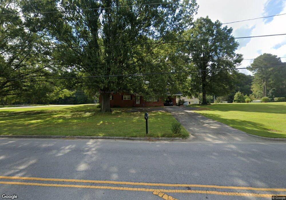
223 Sherron Rd Durham, NC 27703
Eastern Durham NeighborhoodEstimated Value: $366,000 - $384,000
3
Beds
2
Baths
1,622
Sq Ft
$231/Sq Ft
Est. Value
About This Home
This home is located at 223 Sherron Rd, Durham, NC 27703 and is currently estimated at $375,454, approximately $231 per square foot. 223 Sherron Rd is a home located in Durham County with nearby schools including Spring Valley Elementary School, John W Neal Middle School, and Southern School of Energy & Sustainability.
Ownership History
Date
Name
Owned For
Owner Type
Purchase Details
Closed on
Dec 12, 2013
Sold by
Johnson Ernest Edward and Johnson Sherwood
Bought by
Cole Thomas Michael
Current Estimated Value
Home Financials for this Owner
Home Financials are based on the most recent Mortgage that was taken out on this home.
Original Mortgage
$154,750
Outstanding Balance
$115,574
Interest Rate
4.19%
Mortgage Type
VA
Estimated Equity
$259,880
Create a Home Valuation Report for This Property
The Home Valuation Report is an in-depth analysis detailing your home's value as well as a comparison with similar homes in the area
Home Values in the Area
Average Home Value in this Area
Purchase History
| Date | Buyer | Sale Price | Title Company |
|---|---|---|---|
| Cole Thomas Michael | $152,000 | None Available |
Source: Public Records
Mortgage History
| Date | Status | Borrower | Loan Amount |
|---|---|---|---|
| Open | Cole Thomas Michael | $154,750 |
Source: Public Records
Tax History
| Year | Tax Paid | Tax Assessment Tax Assessment Total Assessment is a certain percentage of the fair market value that is determined by local assessors to be the total taxable value of land and additions on the property. | Land | Improvement |
|---|---|---|---|---|
| 2025 | $2,704 | $380,944 | $169,128 | $211,816 |
| 2024 | $2,075 | $196,582 | $59,468 | $137,114 |
| 2023 | $1,997 | $196,582 | $59,468 | $137,114 |
| 2022 | $1,937 | $196,582 | $59,468 | $137,114 |
| 2021 | $1,724 | $196,582 | $59,468 | $137,114 |
| 2020 | $1,685 | $196,582 | $59,468 | $137,114 |
| 2019 | $1,665 | $196,582 | $59,468 | $137,114 |
| 2018 | $1,648 | $178,572 | $67,650 | $110,922 |
| 2017 | $1,595 | $178,572 | $67,650 | $110,922 |
| 2016 | $1,546 | $178,572 | $67,650 | $110,922 |
| 2015 | $1,242 | $119,483 | $34,770 | $84,713 |
| 2014 | $1,248 | $119,483 | $34,770 | $84,713 |
Source: Public Records
Map
Nearby Homes
- 607 Ravenstone Ln
- 6 Spicewood Ct
- 5002 Wake Forest Hwy
- 2800-2809 Napoli Dr
- 621 Wellwater Ave
- 528 Plumleaf Ln
- 1125 Arbor Edge Ln
- 13 Blackthorn Ln
- 1112 Blackthorn Ln
- 1056 Arbor Edge Ln
- 17 Plumleaf Ln
- 442 Gus Rd
- 428 Holly Blossom Dr
- 639 Conover Rd Unit A
- 639 Conover Rd Unit B
- 635 Conover Rd Unit A
- 635 Conover Rd Unit B
- 637 Conover Rd Unit B
- 517 Keith St
- 807 Outlaw Ave
- 416 Hiddenbrook Dr
- 233 Sherron Rd
- 226 Sherron Rd
- 207 Sherron Rd
- 214 Sherron Rd
- 208 Sherron Rd
- 236 Sherron Rd
- 417 Hiddenbrook Dr
- 4916 Wallace Smith Dr
- 302 Sherron Rd
- 515 Hocutt Rd
- 407 Hocutt Rd
- 404 Ashburn Ln
- 406 Ashburn Ln
- 163 Sherron Rd
- 402 Ashburn Ln
- 408 Ashburn Ln
- 412 Hocutt Rd
- 314 Ashburn Ln
- 410 Ashburn Ln
Your Personal Tour Guide
Ask me questions while you tour the home.